Hiking trails in Provence-Alpes-Côte d'Azur
270 places of this kind in Provence-Alpes-Côte d'Azur, ranked by their fotoMap score: what people who've been there like most, with recent votes counting more.
Updated on
-
1
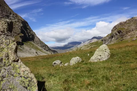 Écrins National Park
Ancelle (Hautes-Alpes)
An Alpine national park created in 1973 between Isère and Hautes-Alpes, with around a hundred peaks over 3,000 metres.
-
2
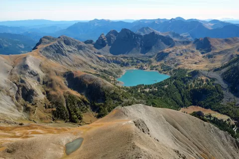 Mercantour National Park
Alpes-de-Haute-Provence
A national park in the southern Alps created in 1979, with the Vallée des Merveilles and its 40,000 prehistoric engravings.
-
3
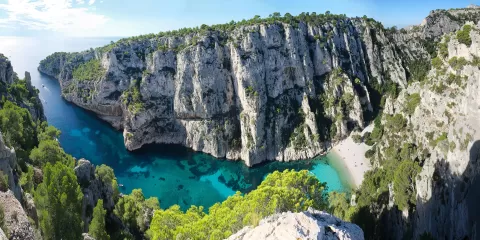 Calanques National Park
Bouches-du-Rhône
A land and marine national park created in 2012 between Marseille, Cassis and La Ciotat, with coves such as Sormiou, Morgiou and En-Vau.
-
4
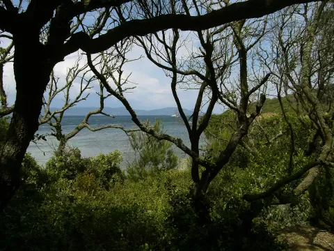 Port-Cros National Park
Var
A national park created in 1963 on the Hyères islands, with Port-Cros, Porquerolles and a signposted underwater trail.
-
5
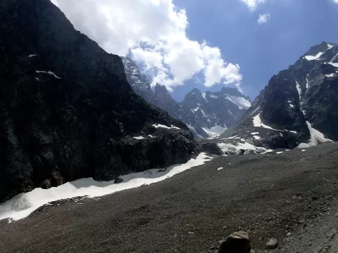 Glaciar Negro
Vallouise-Pelvoux (Hautes-Alpes)
A 5.5 km glacier in the Écrins massif, covered in debris that gives it its dark colour, above the Pré de Madame Carle.
-
6
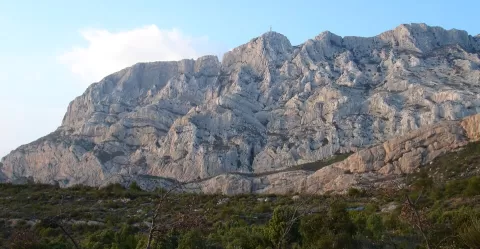 Montaña Sainte-Victoire
Bouches-du-Rhône
An 18 km limestone ridge between Bouches-du-Rhône and the Var, reaching 1,011 metres at the Pic des Mouches, painted again and again by Cézanne.
-
7
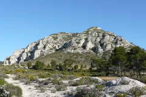 Macizo de los Alpilles
Bouches-du-Rhône
A small 25 km limestone range between the Rhône and the Durance, with Les Baux-de-Provence and the landscapes painted by Van Gogh.
-
8
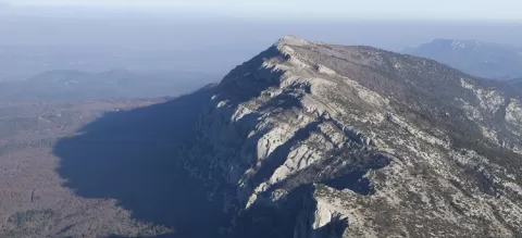 Macizo de la Sainte-Baume
Bouches-du-Rhône
A 35 km Provençal range with a beech forest on its north face and the cave of Mary Magdalene, a place of pilgrimage since the Middle Ages.
-
9
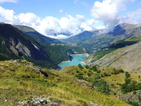 Oisans
Hautes-Alpes
-
10
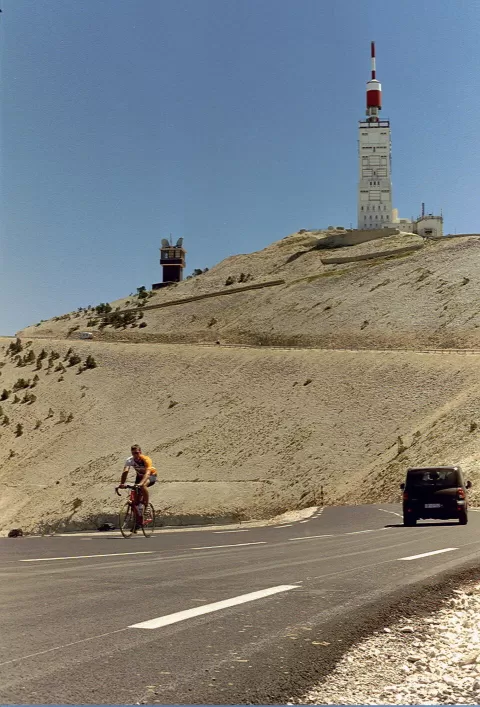 Mont Ventoux
Vaucluse
A 1,909-metre summit in Provence, of bare white limestone, which the Tour de France has climbed 19 times since 1951.
-
11
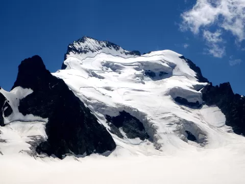 Barre des Écrins
Hautes-Alpes
A 4,102-metre peak, the highest in the Écrins massif and the westernmost and southernmost four-thousander in the Alps.
-
12
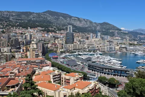 Mont Agel
Alpes-Maritimes
-
13
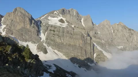 Punta Marguareis
Alpes-Maritimes
A 2,651-metre peak, the highest in the Ligurian Alps, on the French-Italian border above a karst plateau with deep sinkholes.
-
14
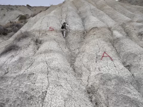 Monte Gelas
Alpes-Maritimes
A 3,143-metre peak on the French-Italian border, the highest point of the French Alpes-Maritimes and of the Mercantour park.
-
15
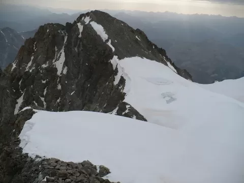 Mont Pelvoux
Hautes-Alpes
-
16
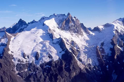 Meije
La Grave (Hautes-Alpes)
-
17
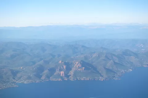 Massif de l'Esterel
Var
-
18
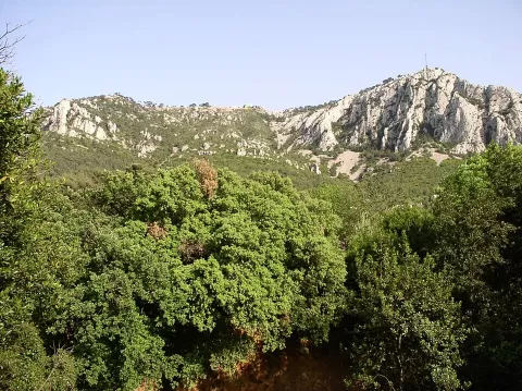 Mont Faron
Toulon (Var)
-
19
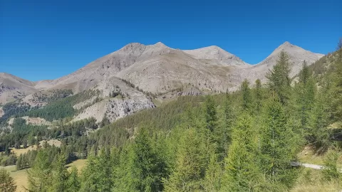 Mont Pelat
Allos (Alpes-de-Haute-Provence)
-
20
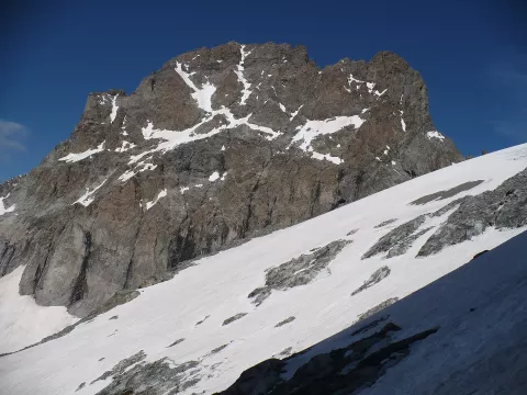 Pic Sans Nom
Hautes-Alpes
-
21
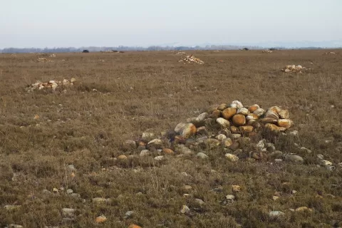 Crau
Saint-Martin-de-Crau (Bouches-du-Rhône)
-
22
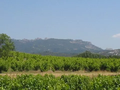 Dentelles de Montmirail
Vaucluse
-
23
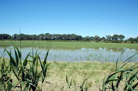 Camargue Regional Natural Park
Bouches-du-Rhône
-
24
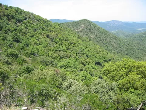 Massif des Maures
Var
-
25
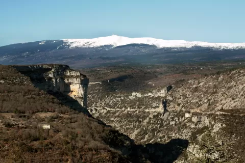 Gorges de la Nesque
Vaucluse
-
26
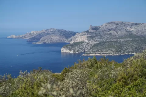 Massif des Calanques
Marseille (Bouches-du-Rhône)
-
27
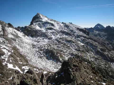 Monte Clapier
Alpes-Maritimes
-
28
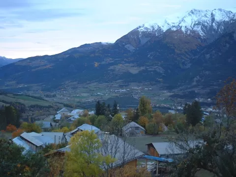 Ubaye Valley
Alpes-de-Haute-Provence
-
29
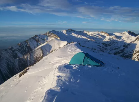 Tête de l'Estrop
Alpes-de-Haute-Provence
-
30
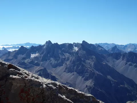 Aiguille de Chambeyron
Alpes-de-Haute-Provence
And 240 more on the map.
Frequently asked questions
Which hiking trails in Provence-Alpes-Côte d'Azur are most worth visiting?
According to fotoMap's score, it's Écrins National Park (Ancelle (Hautes-Alpes)): An Alpine national park created in 1973 between Isère and Hautes-Alpes, with around a hundred peaks over 3,000 metres. Followed by Mercantour National Park and Calanques National Park.
What's the best time to take photos in Provence-Alpes-Côte d'Azur?
Golden hour, with low, warm light: today, 22 November, 7:38 – 8:38 in the morning and 16:03 – 17:03 in the evening. For a deep blue sky, blue hour: 7:07 – 7:38 in the morning and 17:03 – 17:35 in the evening. Each place shows the times for its exact location.