 See all 6 photos
Upload your photo
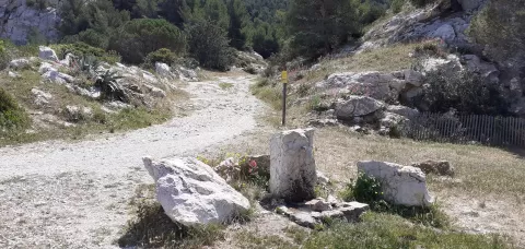
Calanques National Park
No reviews yet
Do you like this place? Be the first to vote
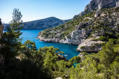
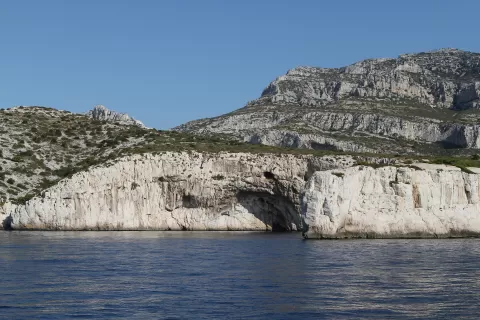
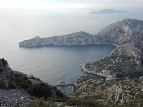
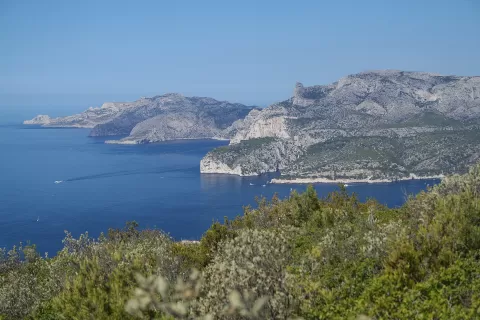
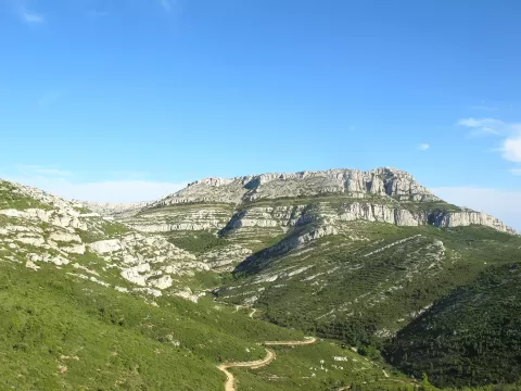
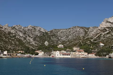
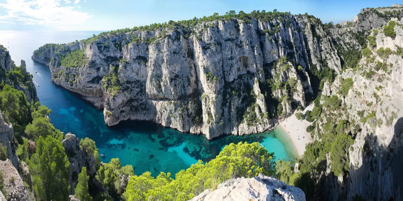
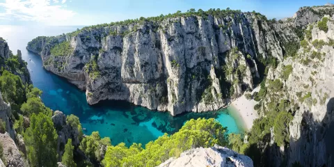
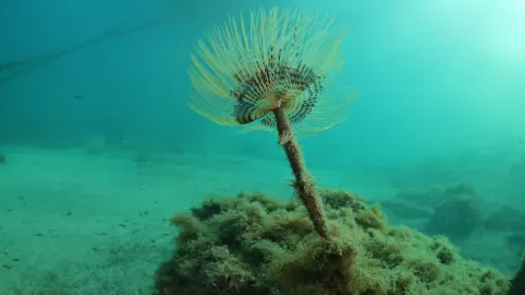
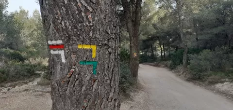
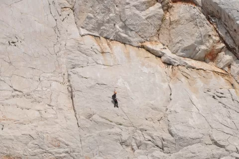
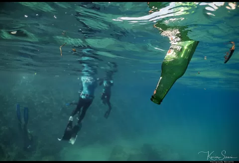
The Calanques National Park was created in 2012 between Marseille, Cassis and La Ciotat, and was one of the first peri-urban national parks in Europe. Its core area totals about 85 km² of land and 435 km² of sea.
Its best-known coves are Sormiou, Morgiou, Sugiton, En-Vau and Port-Miou. Callelongue, Sormiou and Morgiou can be reached by road, and Cassis is the starting point for the east. From 1 June to 30 September access to the massifs is restricted because of fire risk, and Sugiton has a quota with booking in summer.
Under the sea, with its entrance at a depth of about 37 metres, lies the Cosquer Cave, with hands painted some 27,000 years ago, closed to divers. Off the coast, the island of Riou was joined to the mainland until around 2000 BC.
What Calanques National Park has to offer
More viewpoints in Bouches-du-Rhône More hiking trails in Bouches-du-Rhône
Best time to photograph Calanques National Park today, 21 November
- Sunrise7:38 – 8:38golden hour
- Sunset16:09 – 17:09golden hour
- Blue hour17:09 – 17:40at dusk
At sunrise and sunset, low-angled light brings out the landscape's texture. Arrive 20 minutes early to get a good spot.
Hashtags for your photos of Calanques National Park
Upload your photo with #fotoMap and help more people discover this spot. The one with the most votes becomes the cover photo.
Reviews of Calanques National Park
Nobody has said what it's like yet. Have you been? Be the first to tell us.
Write a review