Hiking trails in Grand Est
188 places of this kind in Grand Est, ranked by their fotoMap score: what people who've been there like most, with recent votes counting more.
Updated on
-
1
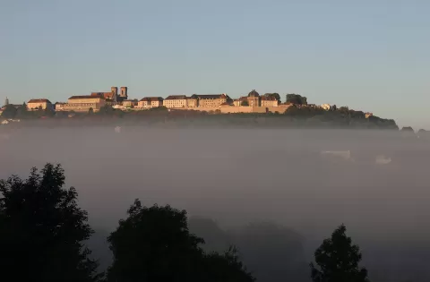 Meseta de Langres
Haute-Marne
-
2
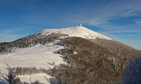 Gran Ballon
Haut-Rhin
The roof of the Vosges, at 1,424 metres, by the Route des Crêtes, with a viewpoint indicator and views as far as the Alps in good weather.
-
3
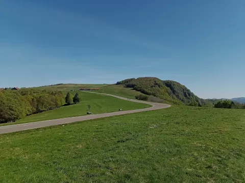 Ballon d'Alsace
Saint-Maurice-sur-Moselle (Haut-Rhin)
A 1,247-metre summit in the southern Vosges where Haut-Rhin, Vosges and the Territoire de Belfort meet, with views of the Alps in good weather.
-
4
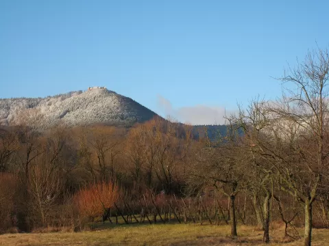 Mont Sainte-Odile
Bas-Rhin
-
5
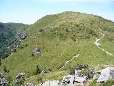 Hohneck
Vosges
-
6
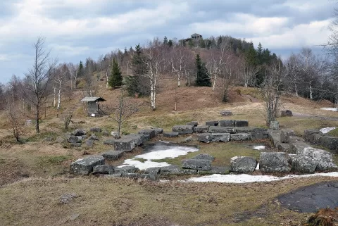 Mont Donon
Grandfontaine (Vosges)
-
7
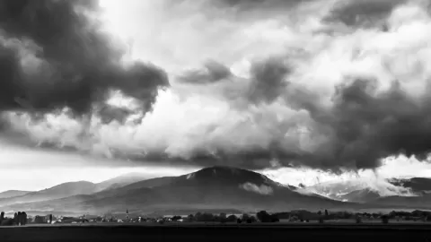 Hartmannswillerkopf
Hartmannswiller (Haut-Rhin)
-
8
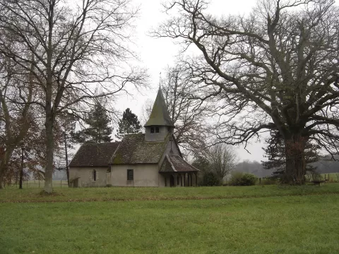 Orient Forest Regional Natural Park
Aube
-
9
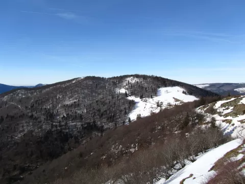 Storkenkopf
Haut-Rhin
-
10
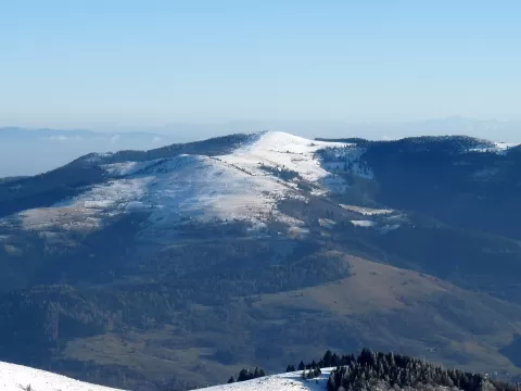 Petit Ballon
Haut-Rhin
-
11
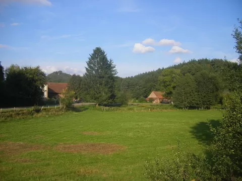 Northern Vosges Regional Natural Park
Moselle
-
12
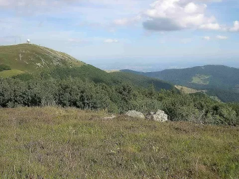 Ballons des Vosges Regional Natural Park
Vosges
-
13
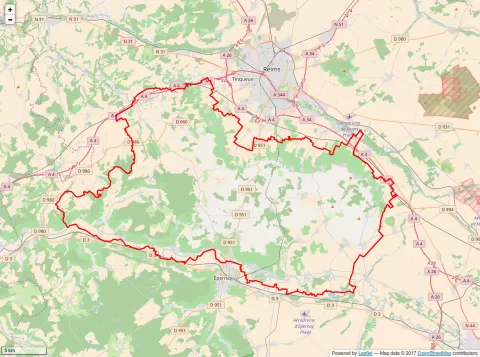 Montaña de Reims
Marne
-
14
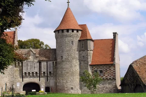 Lorraine Regional Natural Park
Meurthe-et-Moselle
-
15
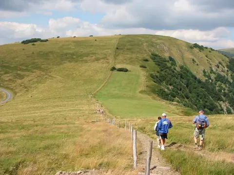 Rainkopf
La Bresse (Vosges)
-
16
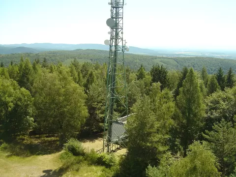 Grand Wintersberg
Niederbronn-les-Bains (Bas-Rhin)
-
17
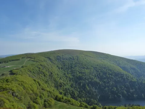 Kastelberg
Vosges
-
18
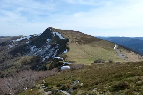 Rothenbachkopf
Haut-Rhin
-
19
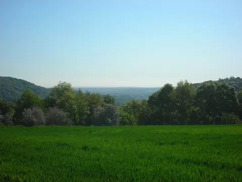 Warndt
Moselle
-
20
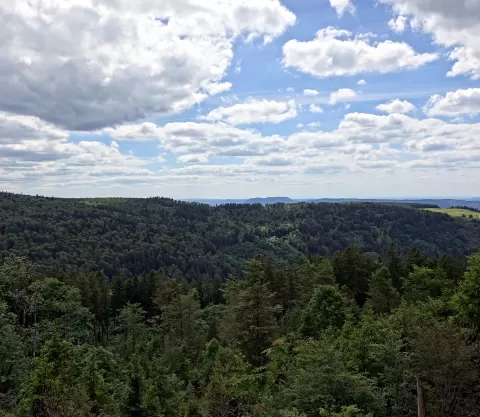 Champ du Feu
Bellefosse (Bas-Rhin)
-
21
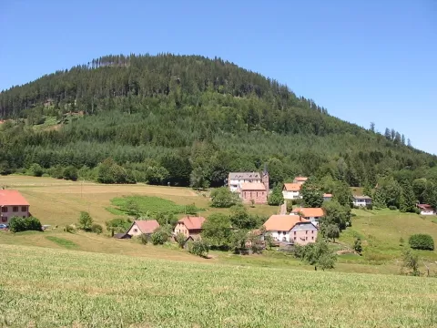 Climont
Bas-Rhin
-
22
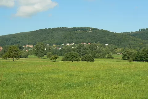 Mont Saint-Michel
Saint-Jean-Saverne (Bas-Rhin)
-
23
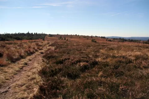 Gazon du Faing
Vosges
-
24
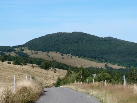 Klintzkopf
Haut-Rhin
-
25
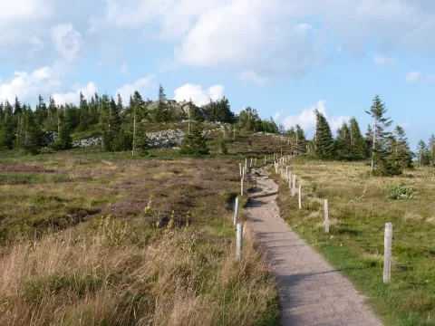 Le Tanet
Vosges
-
26
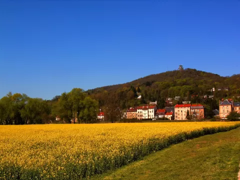 Mont-Saint-Quentin
Moselle
-
27
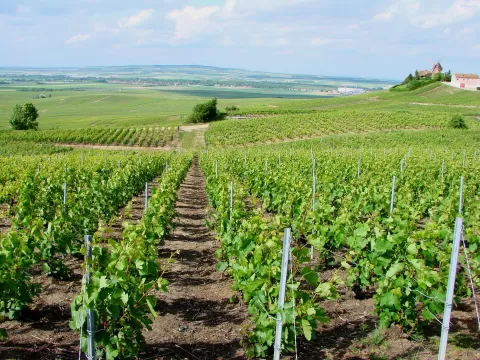 Montagne de Reims Regional Natural Park
Marne
-
28
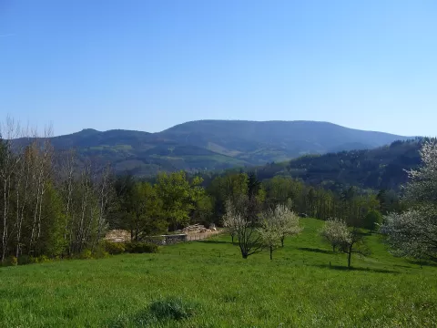 Taennchel
Haut-Rhin
-
29
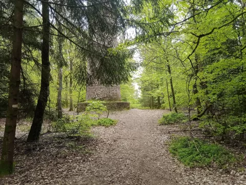 Wasenkoepfel
Oberbronn (Bas-Rhin)
-
30
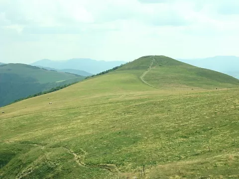 Batteriekopf
Haut-Rhin
And 158 more on the map.
Frequently asked questions
Which hiking trails in Grand Est are most worth visiting?
According to fotoMap's score, it's Meseta de Langres (Haute-Marne). Followed by Gran Ballon and Ballon d'Alsace.
What's the best time to take photos in Grand Est?
Golden hour, with low, warm light: today, 21 November, 7:50 – 8:50 in the morning and 15:48 – 16:48 in the evening. For a deep blue sky, blue hour: 7:15 – 7:50 in the morning and 16:48 – 17:23 in the evening. Each place shows the times for its exact location.