 See all 6 photos
Upload your photo
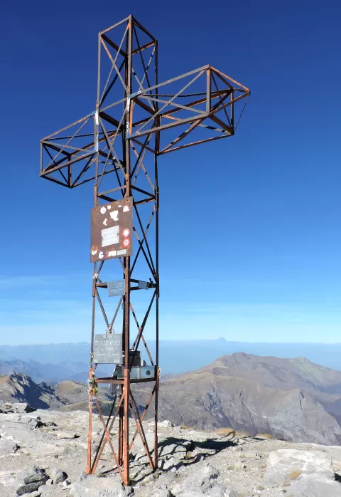
Punta Marguareis
No reviews yet
Do you like this place? Be the first to vote
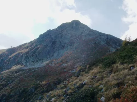
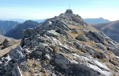
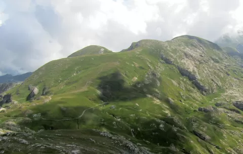
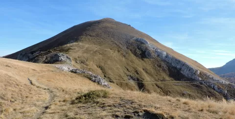
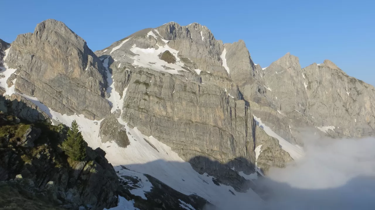
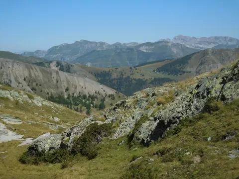
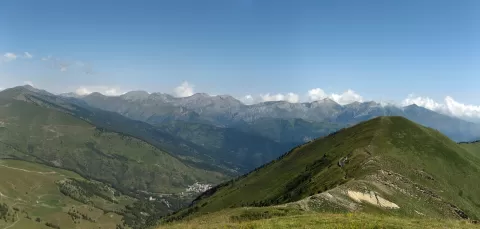
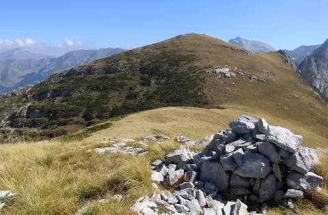
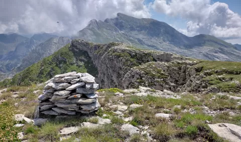
Punta Marguareis, at 2,651 metres, is the highest peak in the Ligurian Alps. The border between France and Italy runs over its summit, where the municipalities of La Brigue (Alpes-Maritimes), Briga Alta and Chiusa di Pesio (province of Cuneo) meet, and it is a junction between the Pesio, Tanaro and Roya valleys.
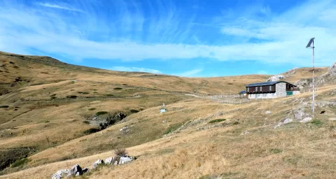
The normal route is a hiking trail that starts near the Colle dei Signori and passes the Passo di Gaina; the classic approach sets off from Carnino Superiore through the Chiusetta gorge. The Garelli refuge, at 1,990 metres, and the Don Barbera, at 2,079, serve as bases, in the Marguareis natural park.
The south side is a gently sloping karst plateau, hence its old name, Carsene, and the nearby cave systems exceed 50 km of passages and 900 metres in depth. The north face, on the other hand, is a vertical wall, and from the summit cross you can see Monviso.
What Punta Marguareis has to offer
More viewpoints in Alpes-Maritimes More hiking trails in Alpes-Maritimes
Best time to photograph Punta Marguareis today, 21 November
- Sunrise7:32 – 8:32golden hour
- Sunset15:57 – 16:57golden hour
- Blue hour16:57 – 17:29at dusk
At sunrise and sunset, low-angled light brings out the landscape's texture. Arrive 20 minutes early to get a good spot.
Hashtags for your photos of Punta Marguareis
Upload your photo with #fotoMap and help more people discover this spot. The one with the most votes becomes the cover photo.
Reviews of Punta Marguareis
Nobody has said what it's like yet. Have you been? Be the first to tell us.
Write a review