 See all 6 photos
Upload your photo
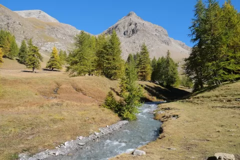
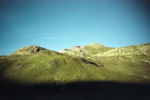
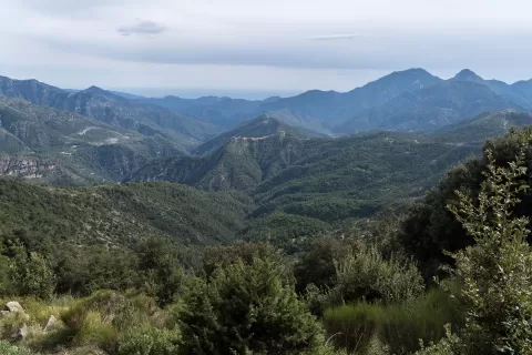
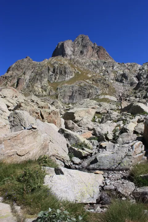
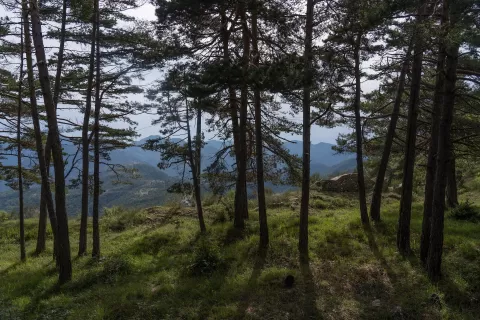
Mercantour National Park
No reviews yet
Do you like this place? Be the first to vote
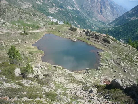
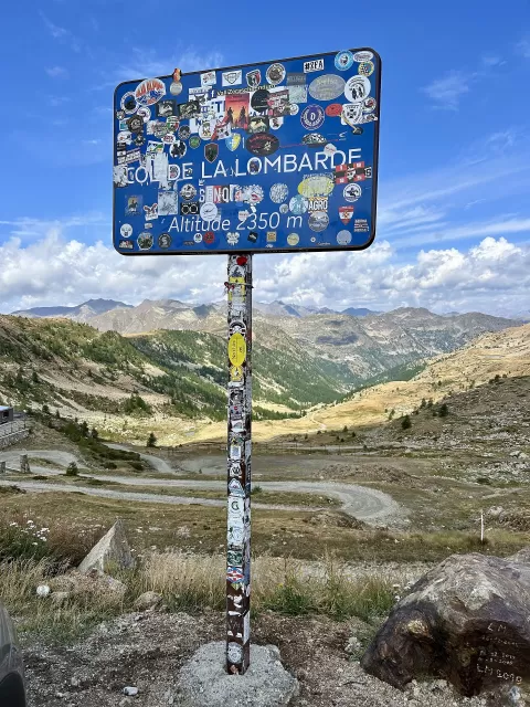
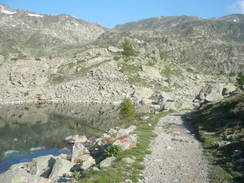
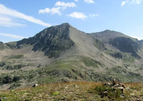
The Mercantour National Park was created in 1979 between the Alpes-Maritimes and the Alpes-de-Haute-Provence. Its core area covers about 685 km² and its highest point is the summit of the Gélas, at 3,143 metres; it shares 33 km of border with the Italian Maritime Alps park, with which it has been twinned since 1987.
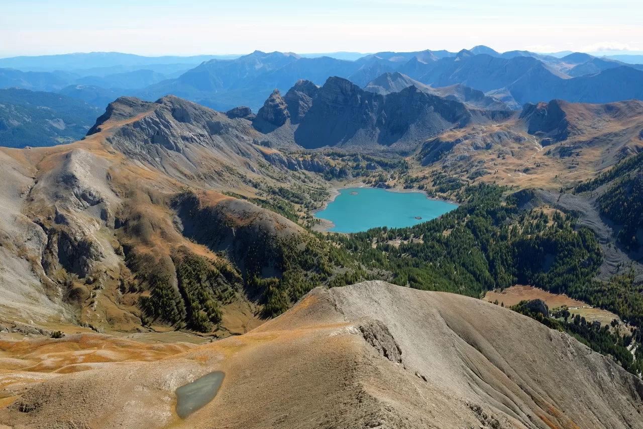
Seven valleys run through it, including the Roya, Vésubie, Tinée and Ubaye, with about 600 km of waymarked trails such as the GR 5 and the GR 52A. Saint-Martin-Vésubie gives access to the Boréon and Gordolasque valleys, and the Lac d'Allos is said to be the largest natural high-altitude lake in Europe.
The Vallée des Merveilles, at the foot of Mont Bégo, holds about 40,000 rock engravings from the Late Neolithic and the Bronze Age. The wolf returned on its own from Italy in 1992, and the park protects more than 8,000 chamois.
What Mercantour National Park has to offer
More viewpoints in Alpes-de-Haute-Provence More hiking trails in Alpes-de-Haute-Provence
Best time to photograph Mercantour National Park today, 22 November
- Sunrise7:36 – 8:36golden hour
- Sunset15:59 – 16:59golden hour
- Blue hour16:59 – 17:31at dusk
At sunrise and sunset, low-angled light brings out the landscape's texture. Arrive 20 minutes early to get a good spot.
Hashtags for your photos of Mercantour National Park
Upload your photo with #fotoMap and help more people discover this spot. The one with the most votes becomes the cover photo.
Reviews of Mercantour National Park
Nobody has said what it's like yet. Have you been? Be the first to tell us.
Write a review