Hiking trails in Auvergne-Rhône-Alpes
872 places of this kind in Auvergne-Rhône-Alpes, ranked by their fotoMap score: what people who've been there like most, with recent votes counting more.
Updated on
-
1
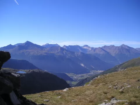 Vanoise National Park
Savoie
France's first national park, created in 1963 between the Tarentaise and the Maurienne, with the Grande Casse at 3,855 metres.
-
2
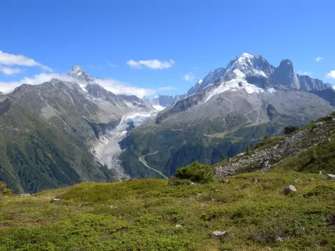 Glaciar de Argentière
Chamonix-Mont-Blanc (Haute-Savoie)
A glacier nearly 9 km long in the Mont Blanc massif, below the Aiguille Verte and Les Droites, above the village of Argentière.
-
3
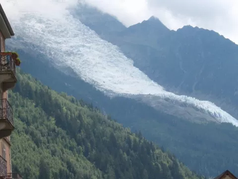 Glaciar de Bossons
Chamonix-Mont-Blanc (Haute-Savoie)
A glacier running from the summit of Mont Blanc almost to the floor of the Chamonix valley, with a drop of some 3,400 metres.
-
4
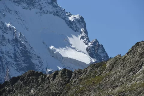 Glaciar Blanco
Isère
The largest glacier in the Écrins massif, about 5 km below the Barre des Écrins, with a refuge next to its snout.
-
5
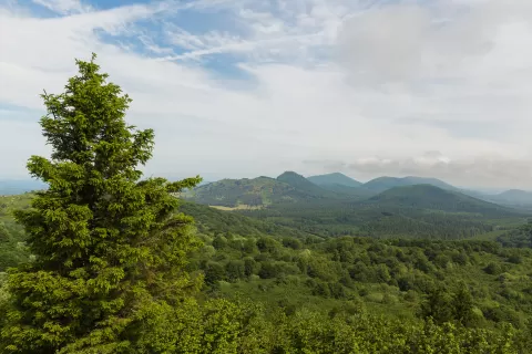 Cadena de los Puys
Puy-de-Dôme
A line of about 80 young volcanoes in Auvergne, crowned by the Puy de Dôme and a UNESCO World Heritage Site since 2018.
-
6
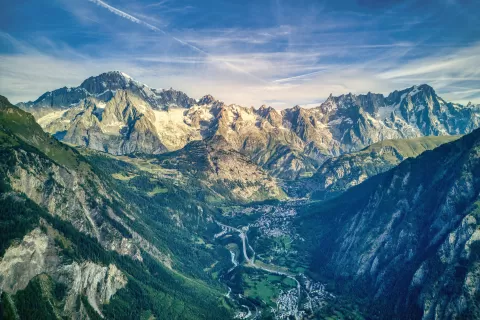 Mont Blanc massif
Haute-Savoie
-
7
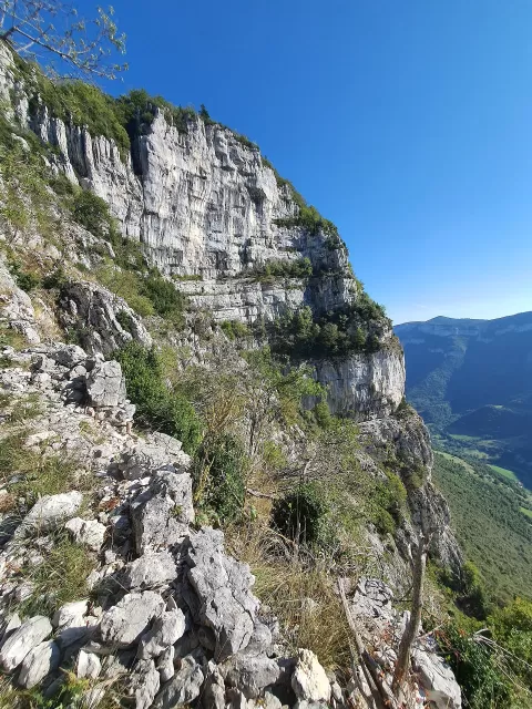 Macizo de Vercors
Isère
-
8
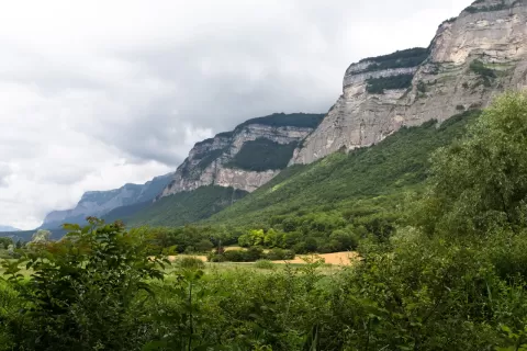 Macizo de la Chartreuse
Isère
-
9
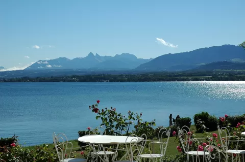 Macizo de Chablais
Haute-Savoie
-
10
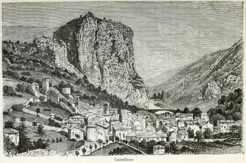 Prealpes franceses
Savoie
-
11
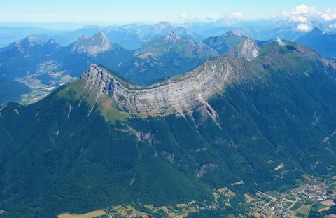 Massif des Bauges
Savoie
-
12
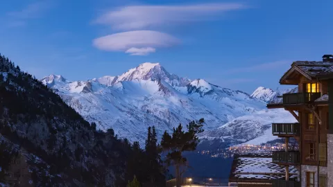 Mont Blanc
Chamonix-Mont-Blanc (Haute-Savoie)
The highest summit in the Alps, 4,805 metres as measured in 2023, on the border between France and Italy above Chamonix and Courmayeur.
-
13
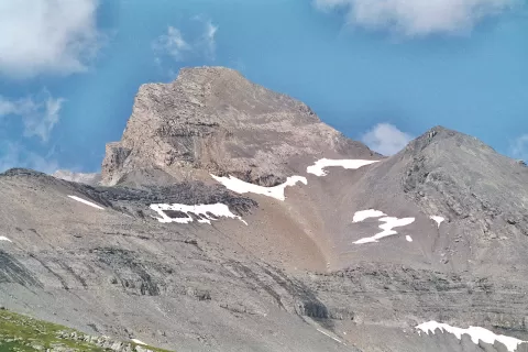 Prealpes de Saboya
Haute-Savoie
-
14
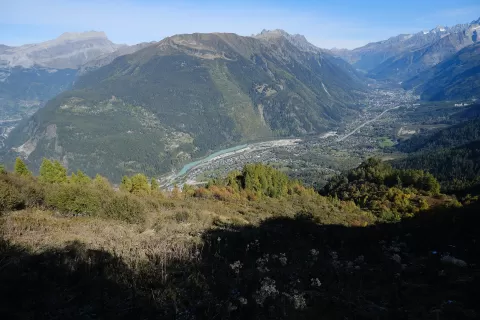 Agujas Rojas
Vallorcine (Haute-Savoie)
A gneiss massif rising to 2,965 metres opposite Mont Blanc, with the Lac Blanc and a nature reserve created in 1974.
-
15
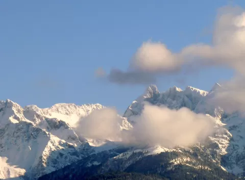 Cadena de Belledonne
Isère
-
16
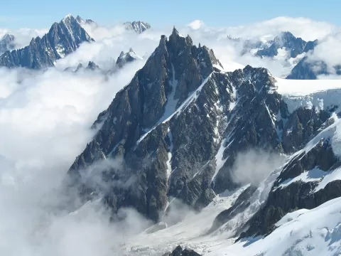 Aiguille du Midi
Chamonix-Mont-Blanc (Haute-Savoie)
A 3,842-metre peak in the Mont Blanc massif above Chamonix, reached by a cable car from the valley floor.
-
17
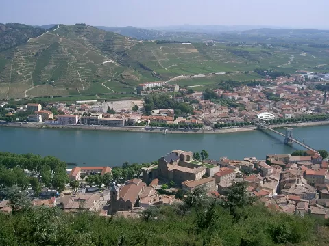 Rhône Valley
Ardèche
-
18
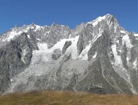 Grandes Jorasses
Chamonix-Mont-Blanc (Haute-Savoie)
A granite ridge in the Mont Blanc massif, on the French-Italian border, rising to 4,208 metres at the Pointe Walker.
-
19
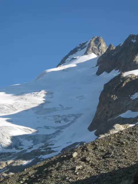 Mont Dolent
Courmayeur (Haute-Savoie)
A peak of about 3,820 metres in the Mont Blanc massif where the borders of France, Italy and Switzerland meet.
-
20
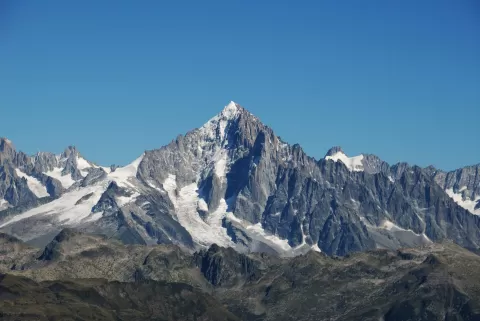 Aiguille Verte
Chamonix-Mont-Blanc (Haute-Savoie)
A 4,122-metre four-thousander in the Mont Blanc massif, above the Chamonix valley, first climbed by Whymper in 1865.
-
21
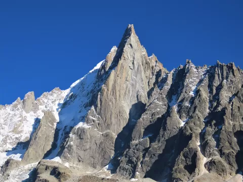 Aiguille du Dru
Haute-Savoie
A twin-summited granite needle, 3,754 metres at the Grand Dru, on the west ridge of the Aiguille Verte, above the Chamonix valley.
-
22
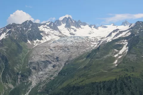 Glacier du Tour
Chamonix-Mont-Blanc (Haute-Savoie)
A 5.3 km glacier at the head of the Chamonix valley, above the hamlet of Le Tour, seen up close from the Albert I refuge.
-
23
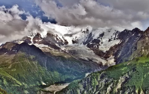 Glaciar de Bionnassay
Saint-Gervais-les-Bains (Haute-Savoie)
A valley glacier of about 5 km on the north face of the Aiguille de Bionnassay, approached by the Mont Blanc Tramway.
-
24
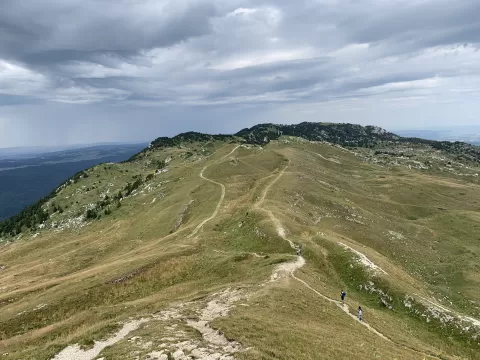 Crêt de la Neige
Lélex (Ain)
The highest point of the Jura massif, at 1,720 metres, in the Haute Chaîne du Jura nature reserve, with views of Lake Geneva.
-
25
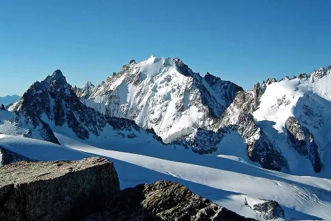 Aiguille d'Argentière
Haute-Savoie
A summit of about 3,900 metres in the Mont Blanc massif, the highest point on the French-Swiss border, above the Argentière glacier.
-
26
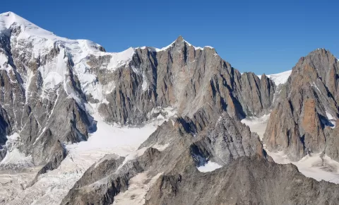 Mont Maudit
Chamonix-Mont-Blanc (Haute-Savoie)
A four-thousander of about 4,465 metres between Mont Blanc du Tacul and Mont Blanc, crossed by the Three Monts route to the summit.
-
27
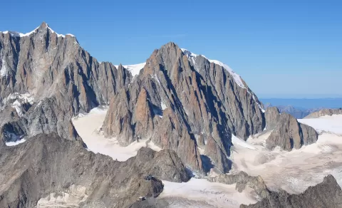 Mont Blanc du Tacul
Haute-Savoie
A 4,248-metre four-thousander between the Aiguille du Midi and Mont Maudit, the first section of the Three Monts route to Mont Blanc.
-
28
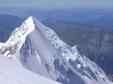 Aiguille de Bionnassay
Saint-Gervais-les-Bains (Haute-Savoie)
-
29
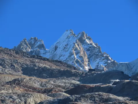 Aiguille du Tour
Chamonix-Mont-Blanc (Haute-Savoie)
-
30
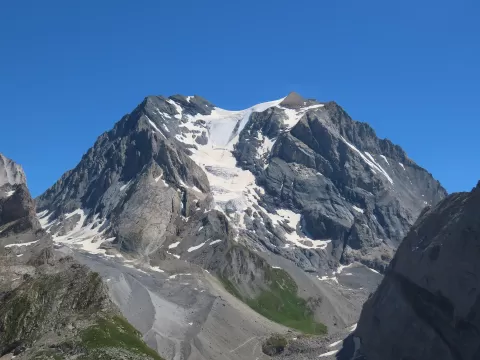 Grande Casse
Champagny-en-Vanoise (Savoie)
And 842 more on the map.
Frequently asked questions
Which hiking trails in Auvergne-Rhône-Alpes are most worth visiting?
According to fotoMap's score, it's Vanoise National Park (Savoie): France's first national park, created in 1963 between the Tarentaise and the Maurienne, with the Grande Casse at 3,855 metres. Followed by Glaciar de Argentière and Glaciar de Bossons.
What's the best time to take photos in Auvergne-Rhône-Alpes?
Golden hour, with low, warm light: today, 22 November, 7:46 – 8:46 in the morning and 16:01 – 17:01 in the evening. For a deep blue sky, blue hour: 7:14 – 7:46 in the morning and 17:01 – 17:34 in the evening. Each place shows the times for its exact location.