Hiking trails in Bourgogne-Franche-Comté
103 places of this kind in Bourgogne-Franche-Comté, ranked by their fotoMap score: what people who've been there like most, with recent votes counting more.
Updated on
-
1
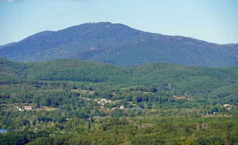 La Planche des Belles Filles
Haute-Saône
A 1,148-metre peak in the Vosges in Haute-Saône, a Tour de France stage finish since 2012, with gradients of up to 24%.
-
2
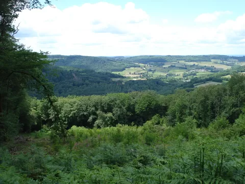 Morvan Regional Natural Park
Nièvre
-
3
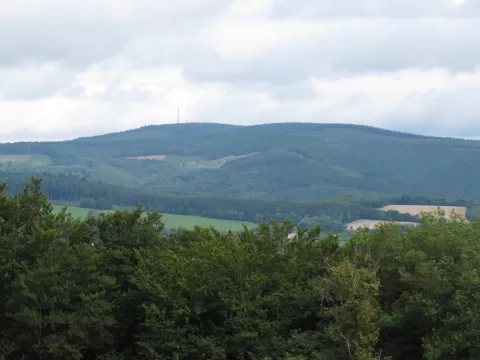 Haut Folin
Saône-et-Loire
-
4
 Forest of Chaux
Doubs
-
5
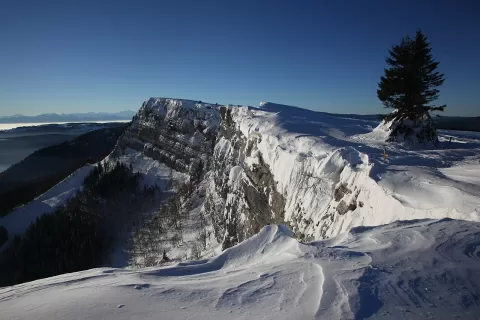 Mont d'Or
Doubs
-
6
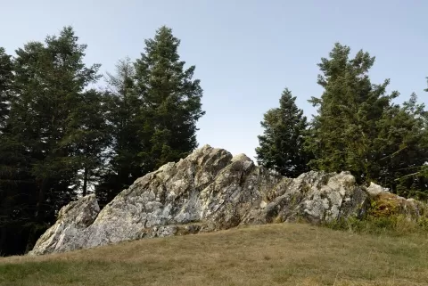 Mont Beuvray
Nièvre
-
7
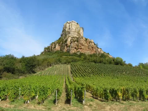 Roche de Solutré
Saône-et-Loire
-
8
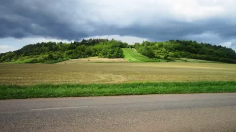 Mont Lassois
Côte-d’Or
-
9
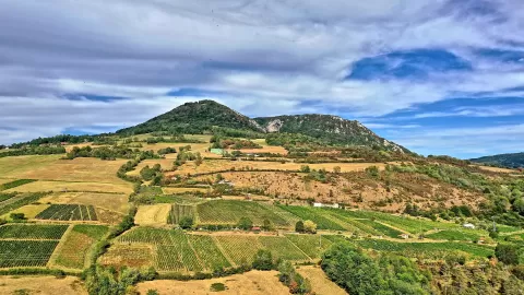 Mont Poupet
Jura
-
10
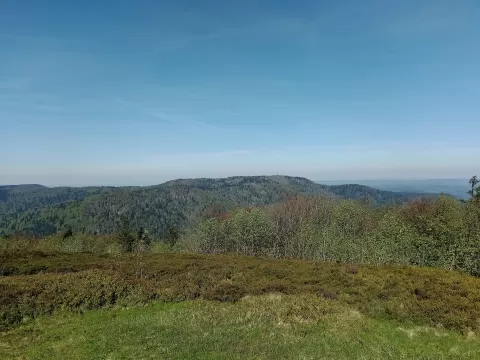 Ballon de Servance
Haute-Saône
-
11
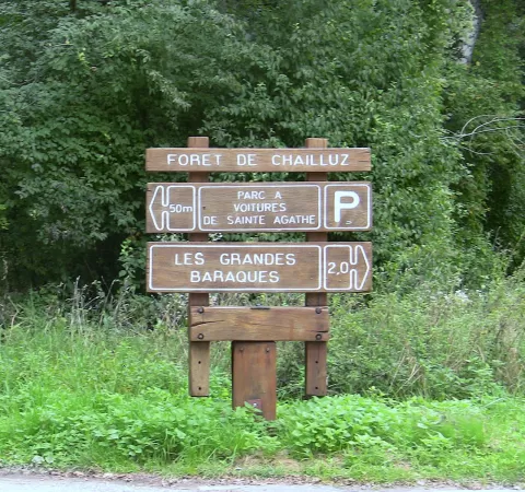 Forest of Chailluz
Doubs
-
12
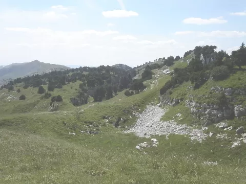 Haut-Jura Regional Natural Park
Jura
-
13
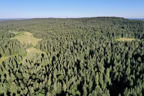 Montagne du Laveron
Doubs
-
14
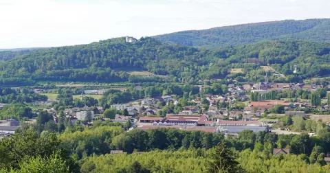 Colline de Bourlémont
Haute-Saône
-
15
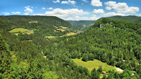 Watchmaking Doubs Regional Natural Park
Doubs
-
16
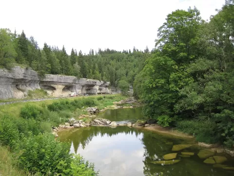 Défilé d'Entre-Roches
La Longeville (Doubs)
-
17
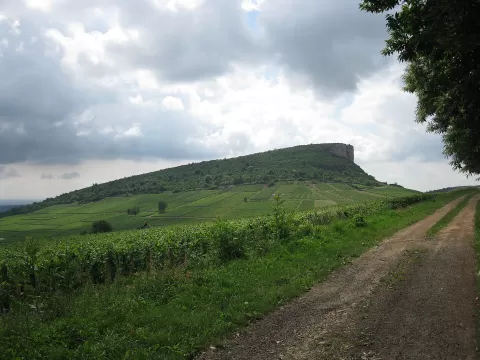 Roche de Vergisson
Saône-et-Loire
-
18
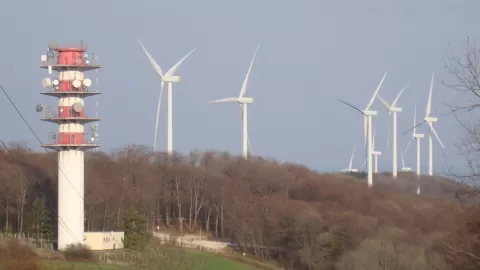 Chaîne du Lomont
Doubs
-
19
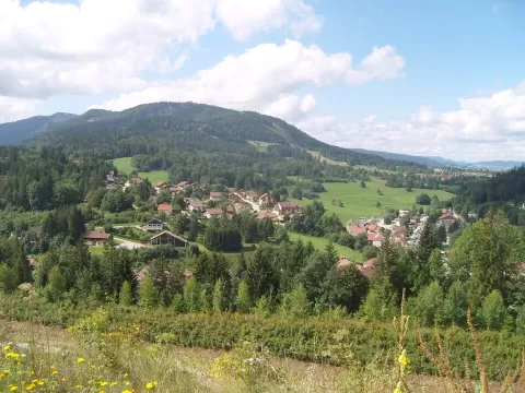 Le Morond
Doubs
-
20
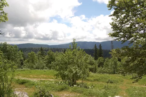 Crêt Pela
Jura
-
21
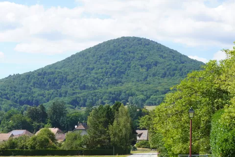 Le Fayé
Grosmagny (Territoire de Belfort)
-
22
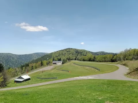 Ballon Saint-Antoine
Plancher-les-Mines (Haute-Saône)
-
23
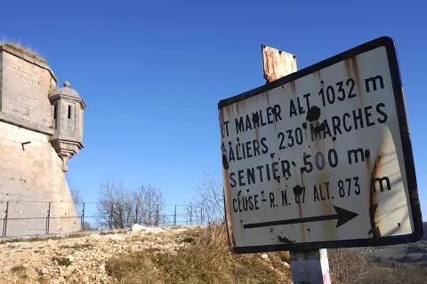 Montagne du Larmont
Doubs
-
24
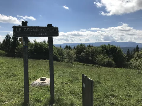 Grand Taureau
Doubs
-
25
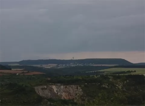 Mont Afrique
Côte-d’Or
-
26
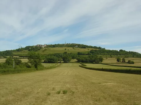 Mont Rome
Saône-et-Loire
-
27
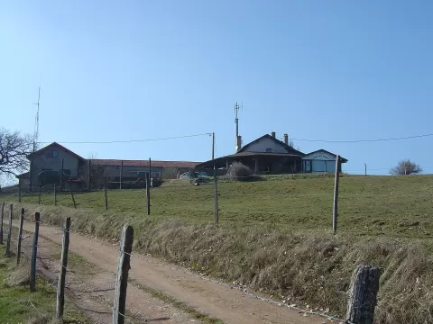 Mont Saint-Romain
Saône-et-Loire
-
28
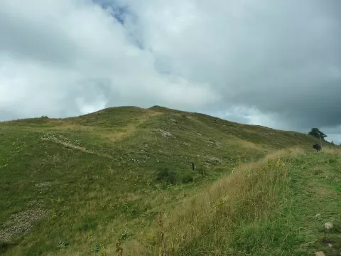 Crêt au Merle
Jura
-
29
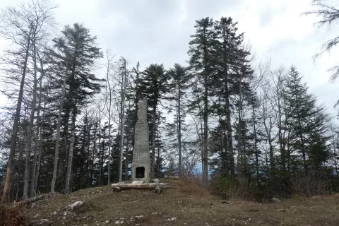 Mont de Saint-Sorlin
Jura
-
30
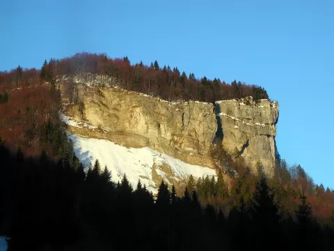 Mont Fier
Jura
And 73 more on the map.
Frequently asked questions
Which hiking trails in Bourgogne-Franche-Comté are most worth visiting?
According to fotoMap's score, it's La Planche des Belles Filles (Haute-Saône): A 1,148-metre peak in the Vosges in Haute-Saône, a Tour de France stage finish since 2012, with gradients of up to 24%. Followed by Morvan Regional Natural Park and Haut Folin.
What's the best time to take photos in Bourgogne-Franche-Comté?
Golden hour, with low, warm light: today, 22 November, 7:51 – 8:51 in the morning and 15:56 – 16:56 in the evening. For a deep blue sky, blue hour: 7:18 – 7:51 in the morning and 16:56 – 17:30 in the evening. Each place shows the times for its exact location.