 See all 6 photos
Upload your photo
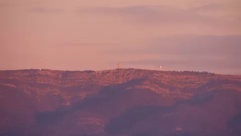
Macizo de la Sainte-Baume
No reviews yet
Do you like this place? Be the first to vote
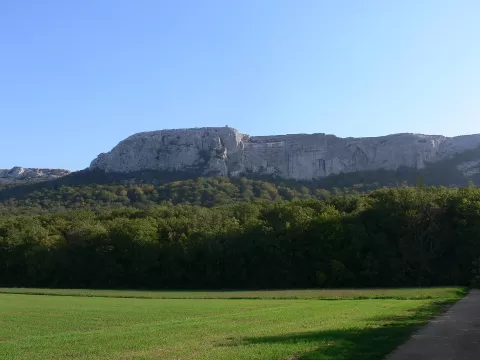
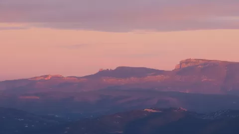
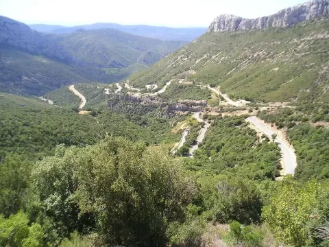
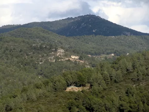
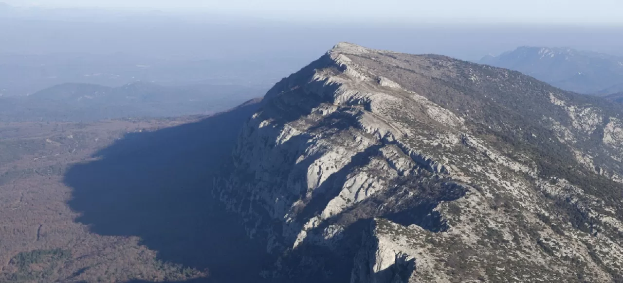
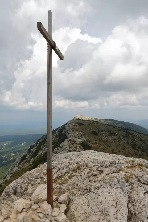
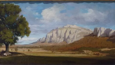
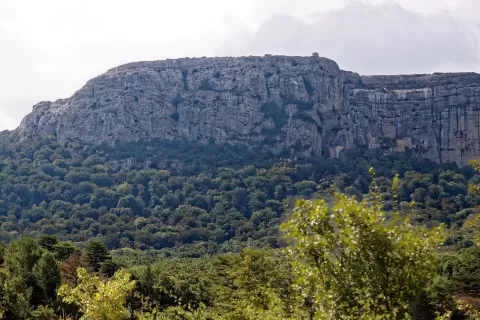
The Sainte-Baume massif is 35 km long and 15 km wide, between the Bouches-du-Rhône and the Var, and is the largest and highest of the Provençal ranges, with peaks over 1,100 metres. Since 2017 it has been the heart of the Sainte-Baume regional natural park.
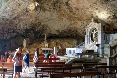
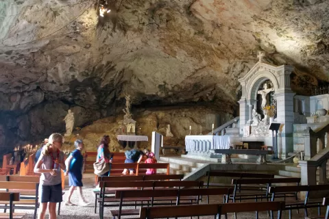
On the north side, the state forest holds a beech wood protected for centuries. From Plan-d'Aups you reach the cave of Mary Magdalene, approached by a flight of 150 steps and looked after by the Dominicans. Above it, the Col du Saint-Pilon, at 952 metres, has a chapel and a viewpoint indicator, and gives access to the ridges.
The cave has been a place of pilgrimage since the Middle Ages. The massif also has some twenty old ice houses that supplied Marseille and Toulon with ice, and its Pic de Bertagne, at 1,042 metres, is the highest point of the Bouches-du-Rhône.
What Macizo de la Sainte-Baume has to offer
More viewpoints in Bouches-du-Rhône More hiking trails in Bouches-du-Rhône
Best time to photograph Macizo de la Sainte-Baume today, 21 November
- Sunrise7:37 – 8:37golden hour
- Sunset16:07 – 17:07golden hour
- Blue hour17:07 – 17:39at dusk
At sunrise and sunset, low-angled light brings out the landscape's texture. Arrive 20 minutes early to get a good spot.
Hashtags for your photos of Macizo de la Sainte-Baume
Upload your photo with #fotoMap and help more people discover this spot. The one with the most votes becomes the cover photo.
Reviews of Macizo de la Sainte-Baume
Nobody has said what it's like yet. Have you been? Be the first to tell us.
Write a review