 See all 6 photos
Upload your photo
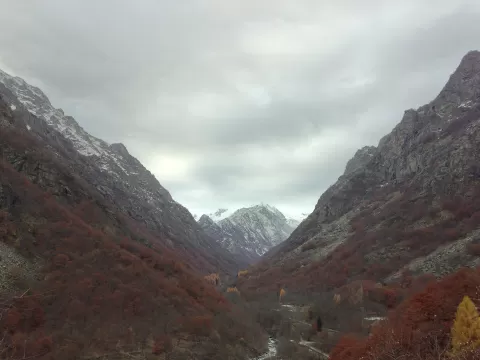
Monte Gelas
No reviews yet
Do you like this place? Be the first to vote
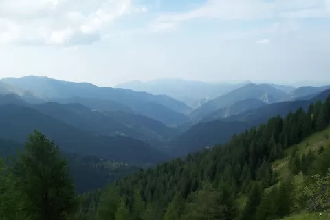
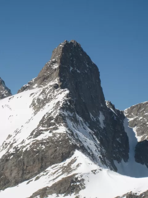
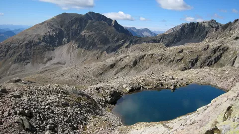
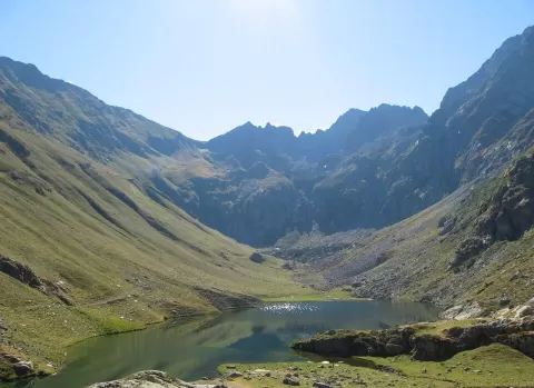
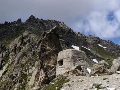
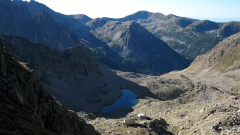
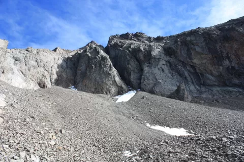
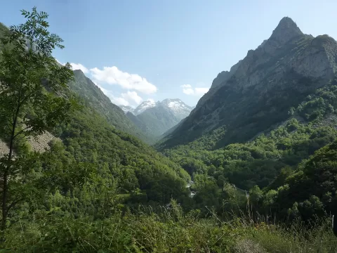
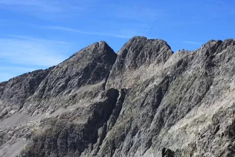
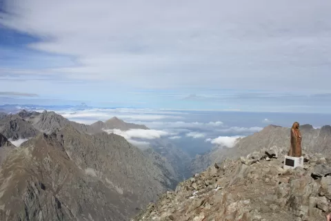
Monte Gelas, Cime du Gélas in French, reaches 3,143 metres on the border between the Alpes-Maritimes and the province of Cuneo. It is the highest point of the department and of the Mercantour National Park, and its Italian side faces the Alpi Marittime natural park.
The normal route, graded F+, climbs the east face via a small couloir to the Forcella Roccati and follows the west-north-west ridge, with II+ moves and a risk of falling stones. In France the Nice refuge, at 2,232 metres, and the Madone de Fenestre refuge, at 1,905, serve as bases; in Italy, the Soria Ellena.
The name comes from the glaciers on its north face: a small hanging glacier survives there, one of the southernmost in the Alps. Its twin summits are separated by a col, and the northern one, the higher, has a cross. The first ascent was made in 1864.
What Monte Gelas has to offer
More viewpoints in Alpes-Maritimes More hiking trails in Alpes-Maritimes
Best time to photograph Monte Gelas today, 21 November
- Sunrise7:33 – 8:33golden hour
- Sunset15:59 – 16:59golden hour
- Blue hour16:59 – 17:30at dusk
At sunrise and sunset, low-angled light brings out the landscape's texture. Arrive 20 minutes early to get a good spot.
Hashtags for your photos of Monte Gelas
Upload your photo with #fotoMap and help more people discover this spot. The one with the most votes becomes the cover photo.
Reviews of Monte Gelas
Nobody has said what it's like yet. Have you been? Be the first to tell us.
Write a review