 See all 6 photos
Upload your photo
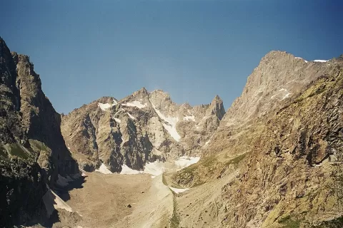
Glaciar Negro
No reviews yet
Do you like this place? Be the first to vote
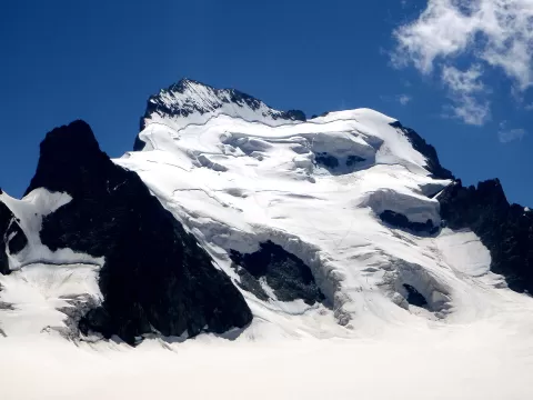
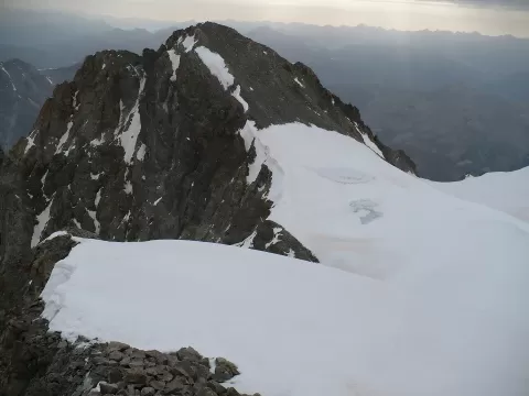
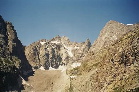
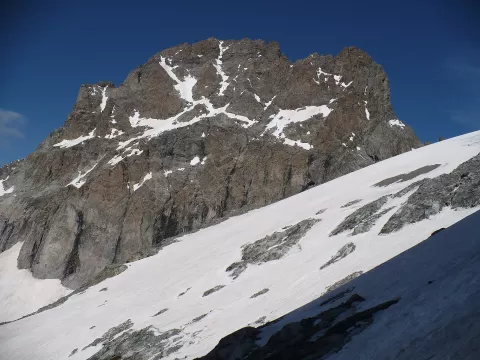
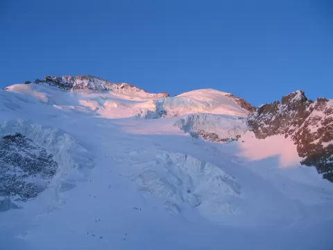
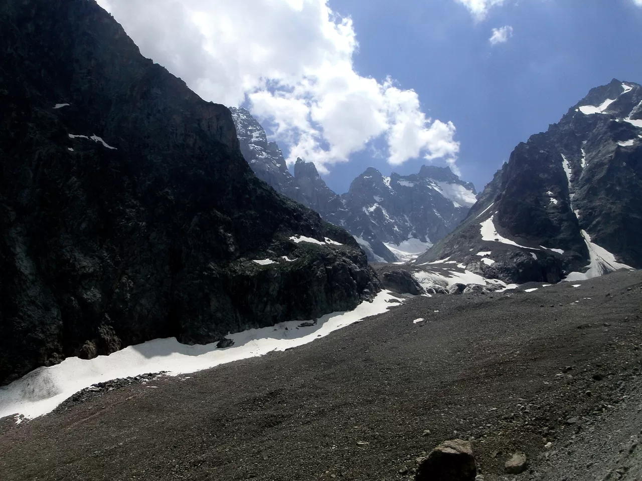
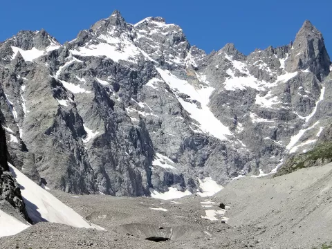
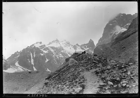
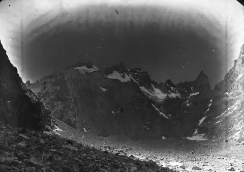
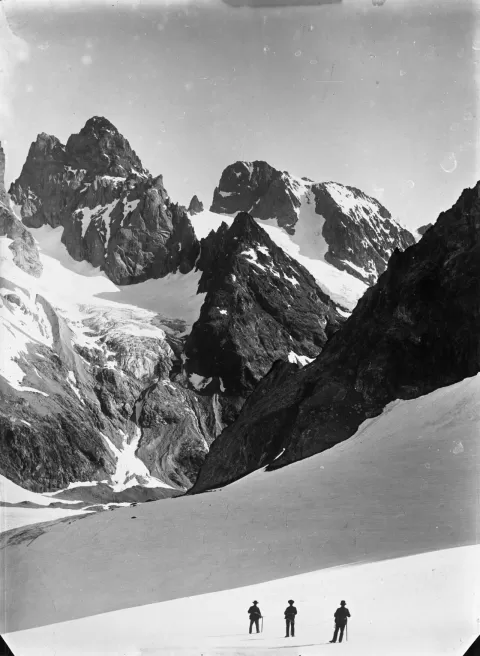
The Glacier Noir is 5.5 km long and descends through the Écrins massif towards the Vallouise valley, in the Hautes-Alpes, with its snout at about 2,100 metres. It owes its name to the thick layer of moraine that covers it and shields it from the sun; in 1965 it covered 5.95 km².
You reach it from the Pré de Madame Carle car park, above Ailefroide: the path crosses the torrent and, after a few zigzags, a fork separates the Glacier Noir path, on the left, from the one that climbs to the Glacier Blanc hut. It is an out-and-back walk from the same car park.
Until at least 1866 the Glacier Noir and the Glacier Blanc joined above the Pré de Madame Carle in a single system, as a lithograph from 1854 shows. Since then both have retreated and today they end separately.
What Glaciar Negro has to offer
More viewpoints in Hautes-Alpes More hiking trails in Hautes-Alpes
Best time to photograph Glaciar Negro today, 21 November
- Sunrise7:39 – 8:39golden hour
- Sunset16:00 – 17:00golden hour
- Blue hour17:00 – 17:32at dusk
At sunrise and sunset, low-angled light brings out the landscape's texture. Arrive 20 minutes early to get a good spot.
Hashtags for your photos of Glaciar Negro
Upload your photo with #fotoMap and help more people discover this spot. The one with the most votes becomes the cover photo.
Reviews of Glaciar Negro
Nobody has said what it's like yet. Have you been? Be the first to tell us.
Write a review