Hiking trails in the Canary Islands
123 places of this kind in the Canary Islands, ranked by their fotoMap score: what people who've been there like most, with recent votes counting more.
Updated on
-
1
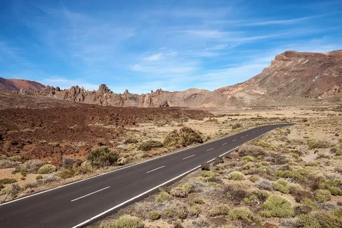 Teide National Park
Santa Cruz de Tenerife
Lava flows, rock towers and the highest peak in Spain.
-
2
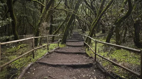 Garajonay National Park
Santa Cruz de Tenerife
The finest known laurel forest in the Old World, a humid evergreen woodland high on La Gomera, often wrapped in mist.
-
3
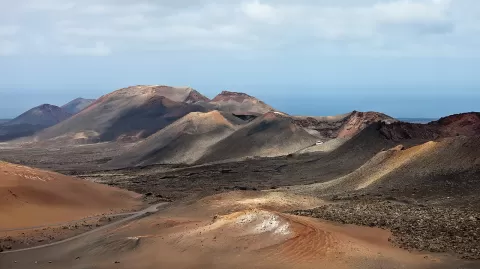 Timanfaya National Park
Las Palmas
More than 25 volcanoes and lava fields in south-west Lanzarote, almost all born in the eruptions of 1730 to 1736.
-
4
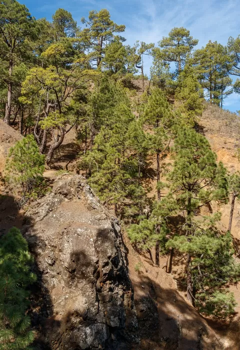 Caldera de Taburiente National Park
Santa Cruz de Tenerife
A huge caldera in the centre of La Palma, ringed by ridges that climb to the 2,426 metres of Roque de los Muchachos.
-
5
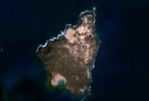 Lobos Island
La Oliva (Las Palmas)
-
6
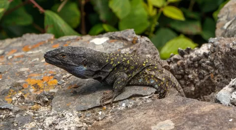 Macizo de Anaga
Santa Cruz de Tenerife
-
7
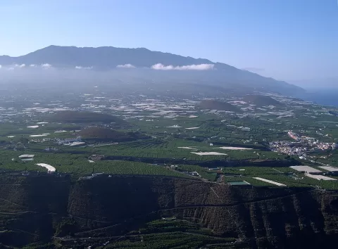 Cumbre Vieja
Santa Cruz de Tenerife
The volcanic ridge forming the southern half of La Palma, dotted with craters and cones, where the 2021 volcano opened.
-
8
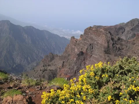 Roque de los Muchachos
Santa Cruz de Tenerife
The highest point on La Palma, over 2,400 metres above the Caldera de Taburiente, next to one of the world's great observatories.
-
9
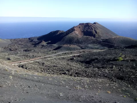 Teneguía
Santa Cruz de Tenerife
A cinder cone at the southern tip of La Palma, born in the 1971 eruption, which lasted only 24 days.
-
10
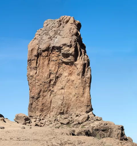 Roque Nublo
Las Palmas
An 80-metre volcanic monolith on the summit of Gran Canaria.
-
11
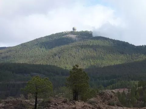 Pico de las Nieves
Las Palmas
A 1,949-metre summit in the centre of Gran Canaria, with a viewpoint looking out to Roque Nublo and, on clear days, Teide.
-
12
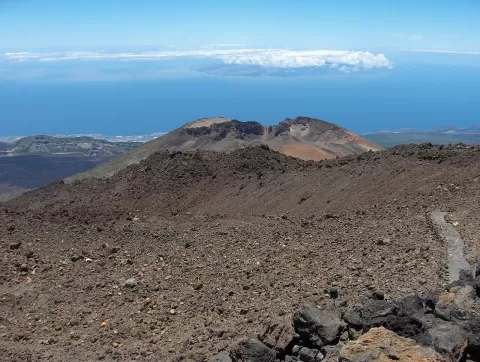 Pico Viejo
Santa Cruz de Tenerife
The second-highest volcano in the Canary Islands, 3,129 metres beside Teide, with an 800-metre crater and the black lava flows of 1798.
-
13
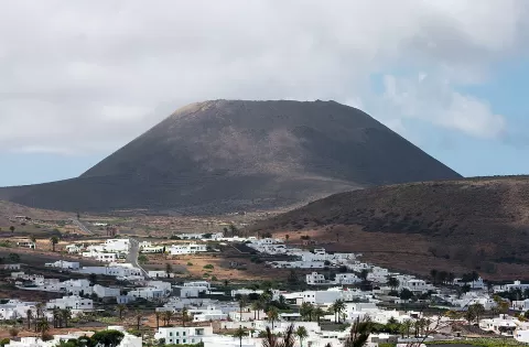 Volcán de La Corona
Las Palmas
609-metre volcanic cone beside Ye, the highest in northern Lanzarote, with a crater you can climb up to on foot through vineyards.
-
14
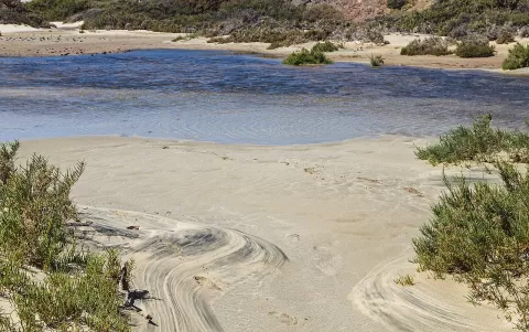 Península de Jandía
Canary Islands
Peninsula in southern Fuerteventura with Pico de la Zarza, the island's highest point, and beaches such as Cofete and Sotavento on either side.
-
15
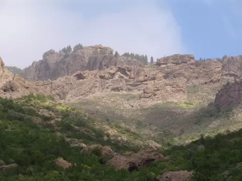 Tamadaba Natural Park
Las Palmas
Canary pine forest above the cliffs of north-western Gran Canaria, with Teide peeking out across the sea.
-
16
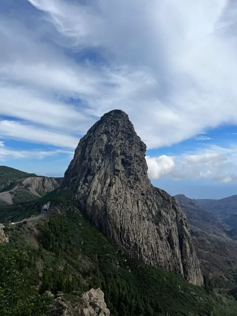 Roque de Agando
Santa Cruz de Tenerife
1,250-metre volcanic plug rising like a tower above La Gomera's central road, beside Garajonay Park.
-
17
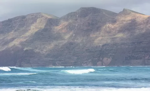 Famara
Haría (Las Palmas)
Volcanic cliff over 20 km long that drops hundreds of metres onto Famara beach, in north-western Lanzarote.
-
18
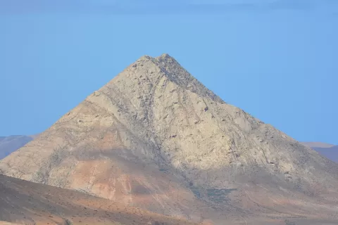 Montaña de Tindaya
Canary Islands
Sacred mountain of the Majos on Fuerteventura, a pale trachyte dome with over 300 engravings of feet carved into the rock.
-
19
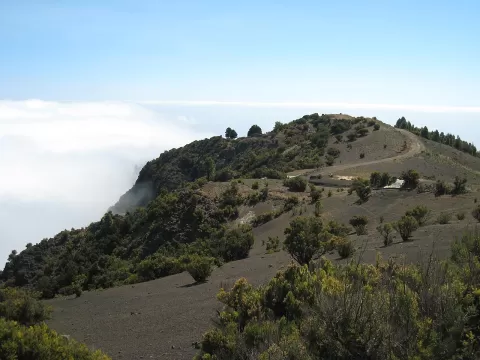 Pico de Malpaso
Santa Cruz de Tenerife
The highest point of El Hierro, at 1,501 metres, with a viewpoint over El Golfo and, on clear days, La Palma, La Gomera and Tenerife.
-
20
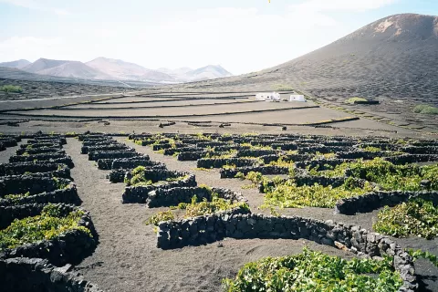 La Geria
Las Palmas
Slope of black volcanic ash dotted with pits and crescent-shaped stone walls, where Lanzarote's Malvasía vines grow.
-
21
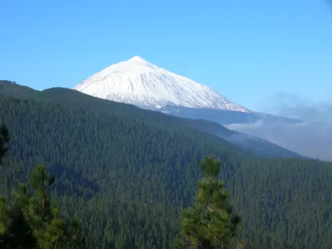 Corona Forestal Natural Park
Santa Cruz de Tenerife
The largest protected area in the Canary Islands, a belt of Canary pine around Teide with the eroded forms of the Paisaje Lunar.
-
22
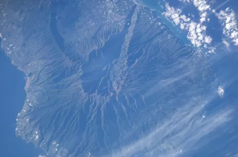 Caldera de Taburiente
Santa Cruz de Tenerife
-
23
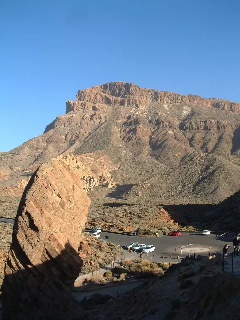 Mount Guajara
Canary Islands
2,715-metre volcanic summit on the rim of Las Cañadas del Teide, the highest of its amphitheatre and the fourth in the Canary Islands.
-
24
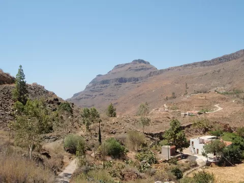 Pilancones Natural Park
Las Palmas
Open Canary pine forest in southern Gran Canaria, among deep ravines and ridges of stacked volcanic lava flows.
-
25
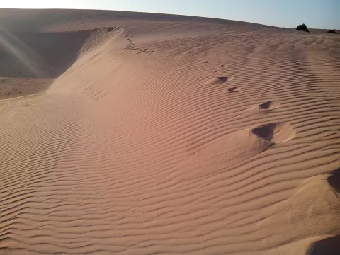 Corralejo Natural Park
La Oliva (Las Palmas)
The largest dune field in the Canary Islands: white shell sand between Corralejo and Montaña Roja, facing Lobos island.
-
26
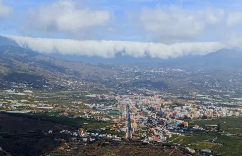 Cumbre Nueva
Santa Cruz de Tenerife
A volcanic ridge in central La Palma over which the trade winds spill the sea of clouds in a cascade towards the Aridane valley.
-
27
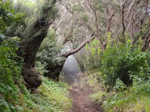 Cumbre Vieja Natural Park
Santa Cruz de Tenerife
A volcanic ridge in southern La Palma, with the island's youngest cones, Canary pine forest and the Ruta de los Volcanes trail.
-
28
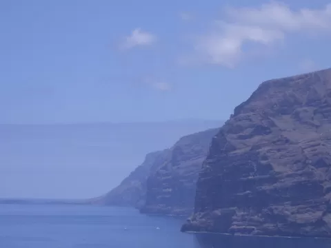 Acantilados de Los Gigantes
Santa Cruz de Tenerife
Basalt lava walls dropping sheer into the Atlantic on Tenerife's west coast, from 300 to more than 600 metres high.
-
29
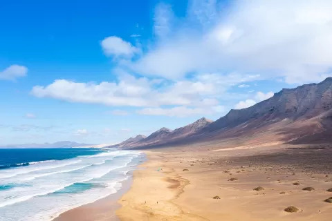 Jandía Natural Park
Canary Islands
An arc of desert mountains in southern Fuerteventura dropping sheer to the wild beach of Cofete, with Pico de la Zarza at 807 m.
-
30
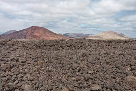 Los Volcanes Natural Park
Tinajo (Las Palmas)
A sea of lava and lapilli in western Lanzarote, next to Timanfaya, with Caldera Blanca, the island's widest crater, open to walkers.
And 93 more on the map.
Frequently asked questions
Which hiking trails in the Canary Islands are most worth visiting?
According to fotoMap's score, it's Teide National Park (Santa Cruz de Tenerife): Lava flows, rock towers and the highest peak in Spain. Followed by Garajonay National Park and Timanfaya National Park.
What's the best time to take photos in the Canary Islands?
Golden hour, with low, warm light: today, 21 November, 7:30 – 8:30 in the morning and 17:08 – 18:08 in the evening. For a deep blue sky, blue hour: 7:05 – 7:30 in the morning and 18:08 – 18:33 in the evening. Each place shows the times for its exact location.