 See all 6 photos
Upload your photo
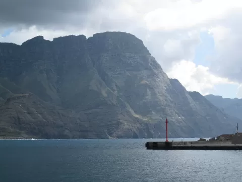
Tamadaba Natural Park
No reviews yet
Do you like this place? Be the first to vote
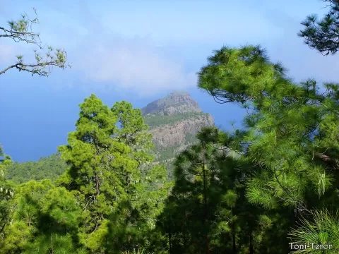
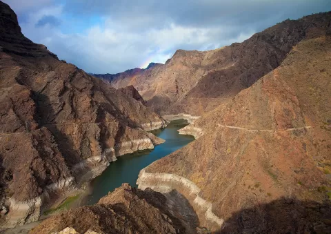
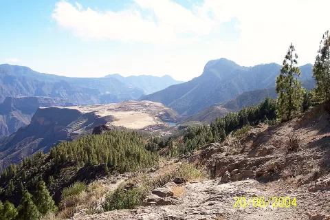
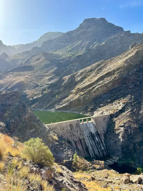
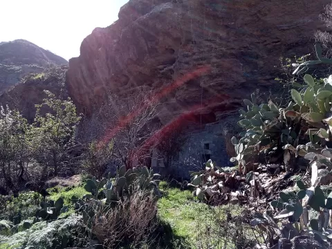
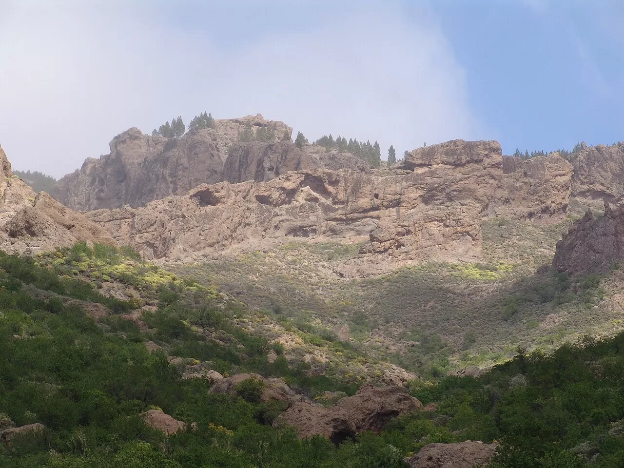
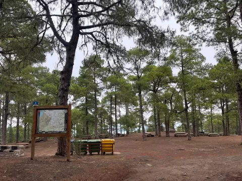
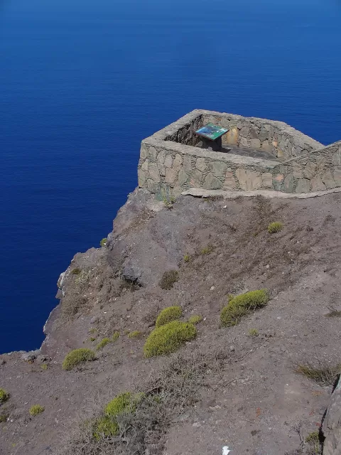
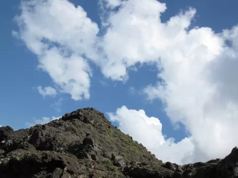
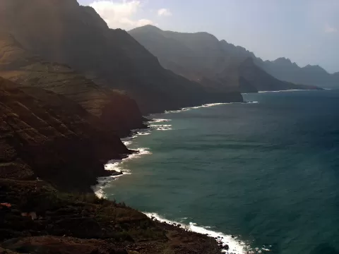
Tamadaba Natural Park covers some 7,538 hectares in the north-west of Gran Canaria, between Agaete, Artenara and La Aldea de San Nicolás. It holds one of the best-preserved natural Canary pine forests on the island, fed by moisture from the trade winds, and reaches down to the cliffs of the west coast. It has been a natural park since 1987, and part of it has been included in the Risco Caído World Heritage Site since 2019.
You get there by car from Artenara on the GC-216, a winding mountain road that loops round the massif. There is a picnic area with tables next to the forest lodge, and the park has two camping areas.
The Llanos de la Mimbre viewpoint and the upper part of the pine forest give views of Mount Teide above the sea. At sunset the sun drops towards Tenerife and the volcano is silhouetted against the light, with the pine trunks as a foreground.
What Tamadaba Natural Park has to offer
More hiking trails in Las Palmas
Best time to photograph Tamadaba Natural Park today, 21 November
- Sunrise7:29 – 8:29golden hour
- Sunset17:08 – 18:08golden hour
- Blue hour18:08 – 18:33at dusk
Golden hour gives the most beautiful light: warm, soft and with long shadows.
Hashtags for your photos of Tamadaba Natural Park
Upload your photo with #fotoMap and help more people discover this spot. The one with the most votes becomes the cover photo.
Reviews of Tamadaba Natural Park
Nobody has said what it's like yet. Have you been? Be the first to tell us.
Write a review