 See all 6 photos
Upload your photo
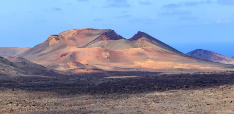
Timanfaya National Park
No reviews yet
Do you like this place? Be the first to vote
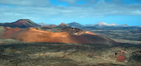
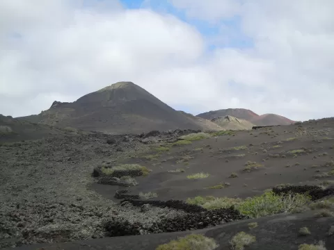
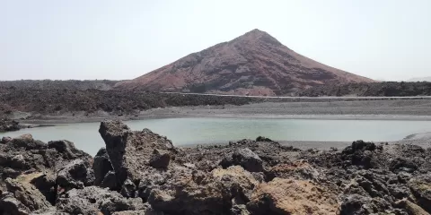
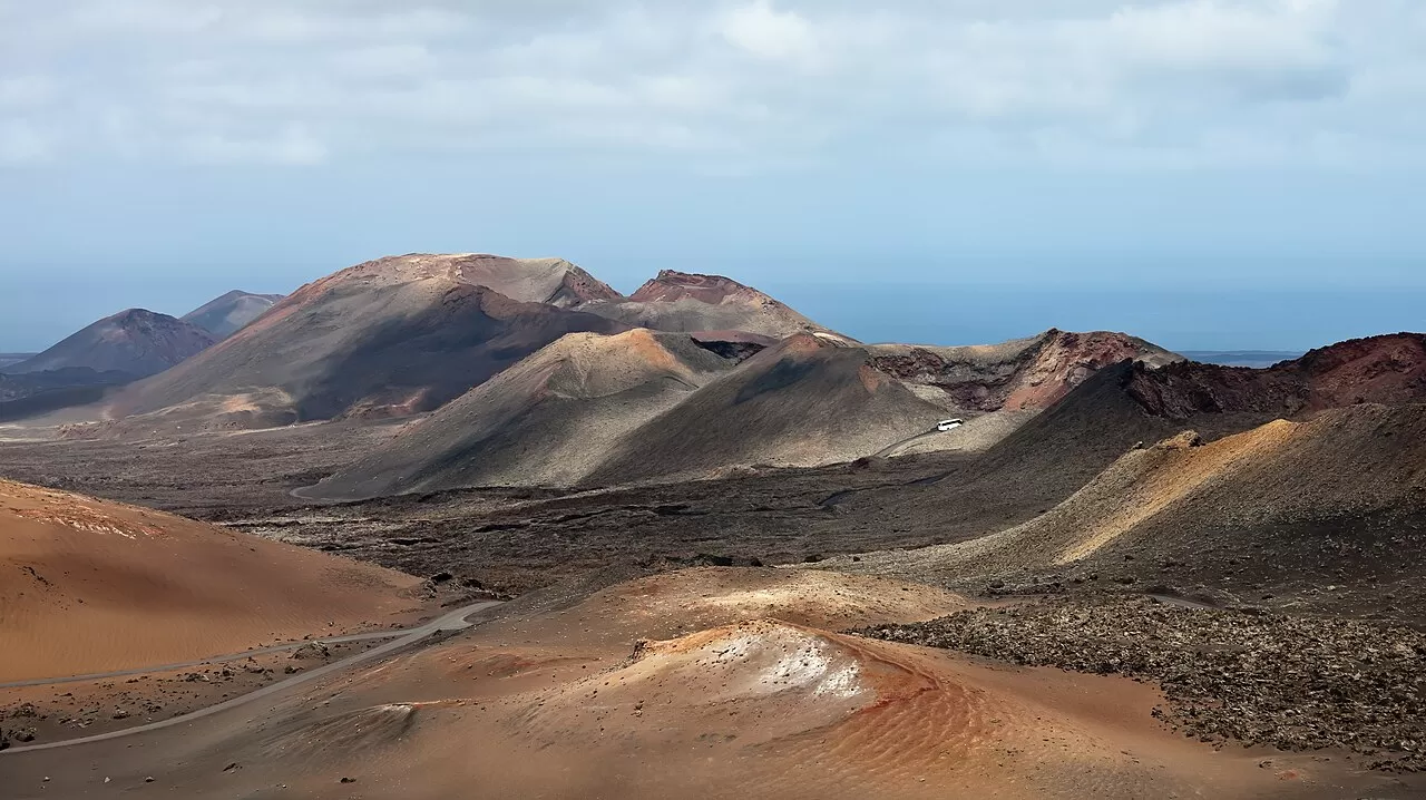
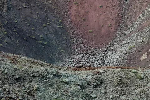
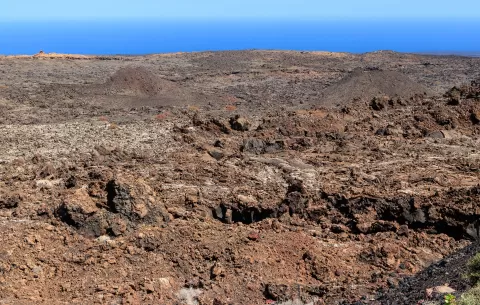
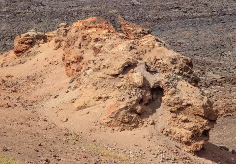
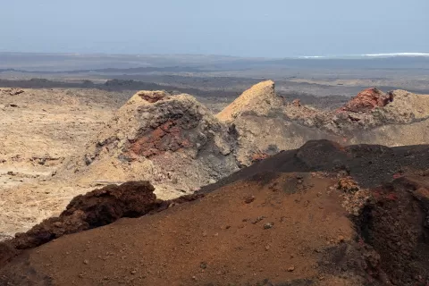
The park covers about 51 km² between Yaiza and Tinajo, in the south-west of Lanzarote, and is the only national park in Spain that is entirely geological in character. Almost all of its landscape came from the eruptions of 1730 to 1736; the last ones were in 1824. It has more than 25 volcanoes, among them the Montañas del Fuego, Montaña Rajada and the Caldera del Corazoncillo.
The ground is still hot: at a depth of 13 metres it reaches around 600 °C, and as a demonstration water is poured into a cavity and comes out almost instantly as steam. The park's symbol is El Diablo, by César Manrique.
Access is tightly regulated. From a public car park you tour the landscape by coach along a road closed to other traffic, and the only two trails can be walked only with prior authorisation and a guide.
What Timanfaya National Park has to offer
More viewpoints in Las Palmas More hiking trails in Las Palmas
Best time to photograph Timanfaya National Park today, 21 November
- Sunrise7:23 – 8:23golden hour
- Sunset16:58 – 17:58golden hour
- Blue hour17:58 – 18:23at dusk
At sunrise and sunset, low-angled light brings out the landscape's texture. Arrive 20 minutes early to get a good spot.
Hashtags for your photos of Timanfaya National Park
Upload your photo with #fotoMap and help more people discover this spot. The one with the most votes becomes the cover photo.
Reviews of Timanfaya National Park
Nobody has said what it's like yet. Have you been? Be the first to tell us.
Write a review