 See all 6 photos
Upload your photo
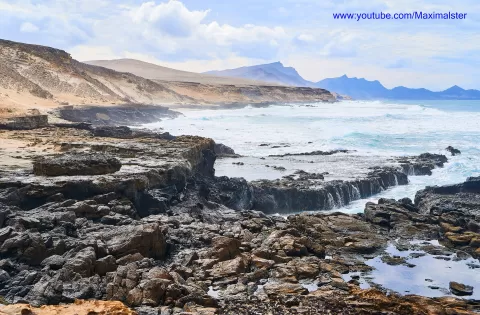
Península de Jandía
No reviews yet
Do you like this place? Be the first to vote
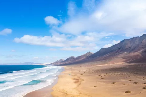
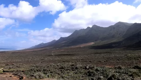
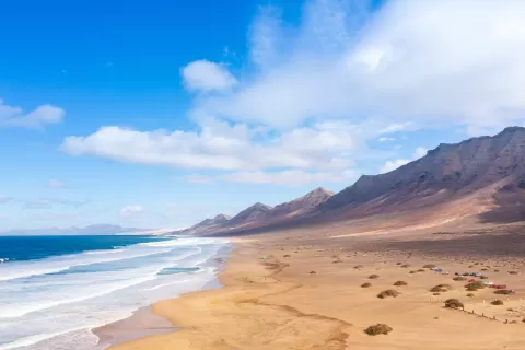
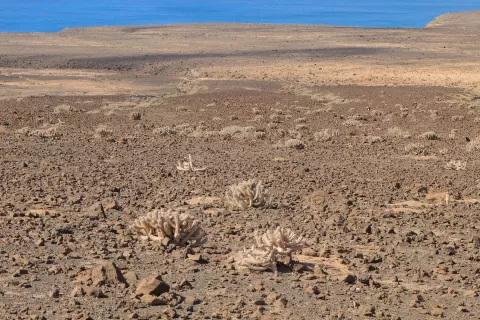
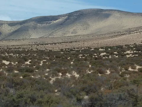
The Jandía peninsula forms the southern tip of Fuerteventura, in the municipality of Pájara. It is about 30 kilometres long and 9 wide, and is joined to the rest of the island by the sandy isthmus of La Pared. It was formed by volcanic activity some 21 million years ago, and its last eruption caused a collapse into the sea. Of its roughly 200 square kilometres, 144 are a natural park.
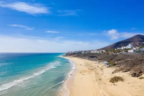
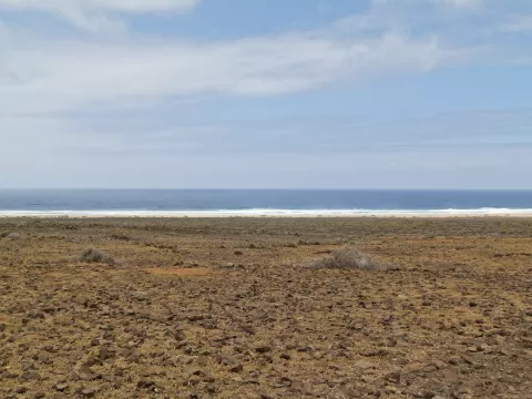
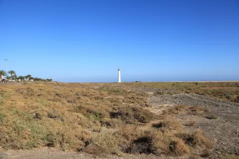
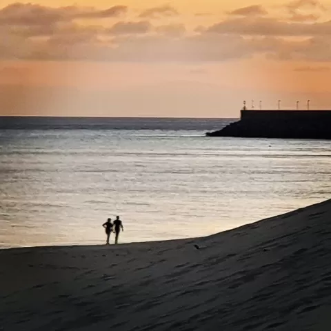
Its main settlements are Morro Jable and Costa Calma. On the windward coast lies Cofete beach, with the Casa Winter, and on the leeward coast the beaches of Sotavento and El Matorral. At the tip stands the Punta Jandía lighthouse.
Pico de la Zarza, at 807 metres, is the highest point in Fuerteventura. The most sought-after photo is Cofete from above, with the mountains dropping down to the sand, best in afternoon light.
What Península de Jandía has to offer
Best time to photograph Península de Jandía today, 21 November
- Sunrise7:23 – 8:23golden hour
- Sunset17:02 – 18:02golden hour
- Blue hour18:02 – 18:27at dusk
At sunrise and sunset, low-angled light brings out the landscape's texture. Arrive 20 minutes early to get a good spot.
Hashtags for your photos of Península de Jandía
Upload your photo with #fotoMap and help more people discover this spot. The one with the most votes becomes the cover photo.
Reviews of Península de Jandía
Nobody has said what it's like yet. Have you been? Be the first to tell us.
Write a review