 See all 6 photos
Upload your photo
La Geria
No reviews yet
Do you like this place? Be the first to vote
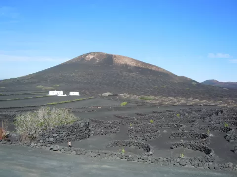
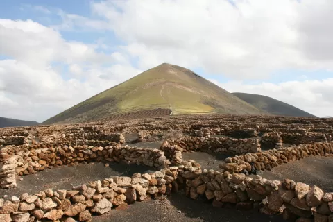
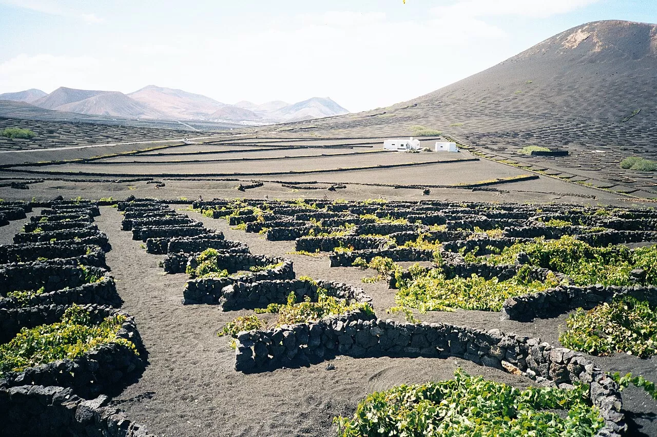
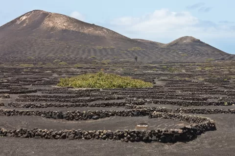
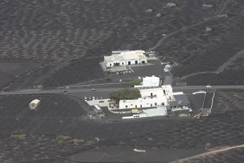
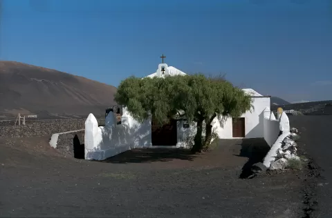
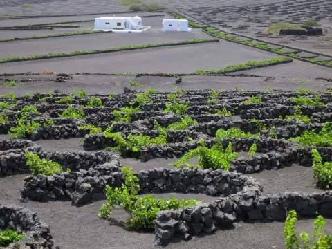
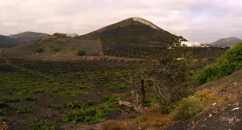
La Geria is a protected landscape of 5255 hectares in the centre of Lanzarote, spread across Yaiza, Tías, Tinajo, San Bartolomé and Teguise. After the Timanfaya eruptions of 1730 to 1736, farmers learned to grow crops beneath the layer of lapilli: they dig a conical pit down to the fertile soil and shelter it from the wind with a semicircular dry-stone wall.
The LZ-30 road, between Uga and Mozaga, crosses the area and is home to most of the wineries. Malvasía is the main grape, and fig trees are also planted among the vines.
The photo lies in the repetition: hundreds of pits and stone half-moons on the black volcanic gravel, each with a green vine. Low light early or late in the day picks out the shadow of every pit and gives the slope depth; at midday the landscape flattens. A telephoto lens compresses the rows of walls.
What La Geria has to offer
More viewpoints in Las Palmas More hiking trails in Las Palmas
Best time to photograph La Geria today, 21 November
- Sunrise7:22 – 8:22golden hour
- Sunset16:58 – 17:58golden hour
- Blue hour17:58 – 18:23at dusk
At sunrise and sunset, low-angled light brings out the landscape's texture. Arrive 20 minutes early to get a good spot.
Hashtags for your photos of La Geria
Upload your photo with #fotoMap and help more people discover this spot. The one with the most votes becomes the cover photo.
Reviews of La Geria
Nobody has said what it's like yet. Have you been? Be the first to tell us.
Write a review