 See all 2 photos
Upload your photo
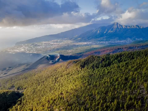
Cumbre Vieja Natural Park
No reviews yet
Do you like this place? Be the first to vote
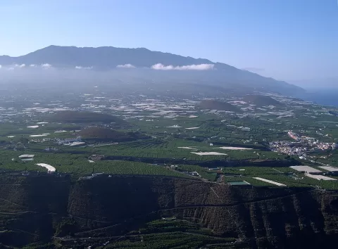
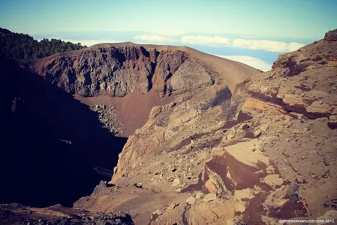
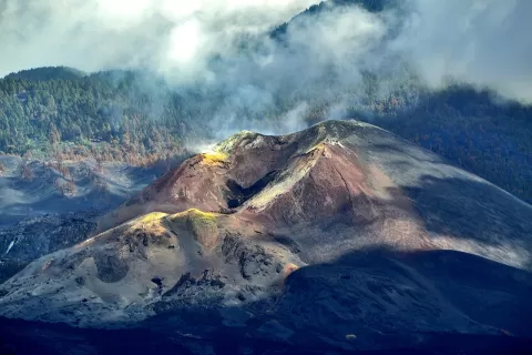
Cumbre Vieja Natural Park occupies the volcanic ridge in the south of La Palma, between El Paso, Breña Alta and Breña Baja, Mazo and Fuencaliente. It covers 7499.7 hectares and was protected in 1987. It contains most of the cones of the last million years and almost all of the island's historic eruptions, including that of 2021, from 19 September to 13 December.
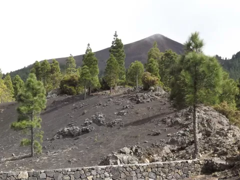
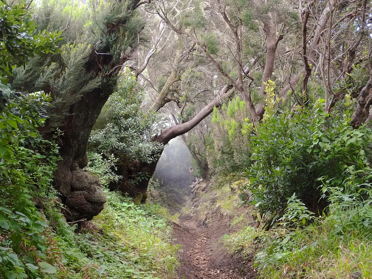
Its highest point is the Deseada volcano, at 1944 metres. The Ruta de los Volcanes, a long-distance path closed to vehicles, runs along the summit ridge from north to south past the great cones, from the El Pilar area. Canary pine forest grows in the western sector.
The landscape is one of craters and dark lapilli among pines. The low light of early morning and sunset picks out the relief of the cones and lengthens their shadows, and on days with a sea of clouds the ridge sits above it, with the clouds at your feet.
What Cumbre Vieja Natural Park has to offer
More hiking trails in Santa Cruz de Tenerife
Best time to photograph Cumbre Vieja Natural Park today, 21 November
- Sunrise7:38 – 8:38golden hour
- Sunset17:15 – 18:15golden hour
- Blue hour18:15 – 18:40at dusk
Golden hour gives the most beautiful light: warm, soft and with long shadows.
Hashtags for your photos of Cumbre Vieja Natural Park
Upload your photo with #fotoMap and help more people discover this spot. The one with the most votes becomes the cover photo.
Reviews of Cumbre Vieja Natural Park
Nobody has said what it's like yet. Have you been? Be the first to tell us.
Write a review