 See all 6 photos
Upload your photo
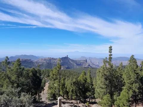
Pico de las Nieves
No reviews yet
Do you like this place? Be the first to vote
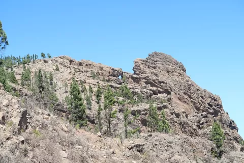
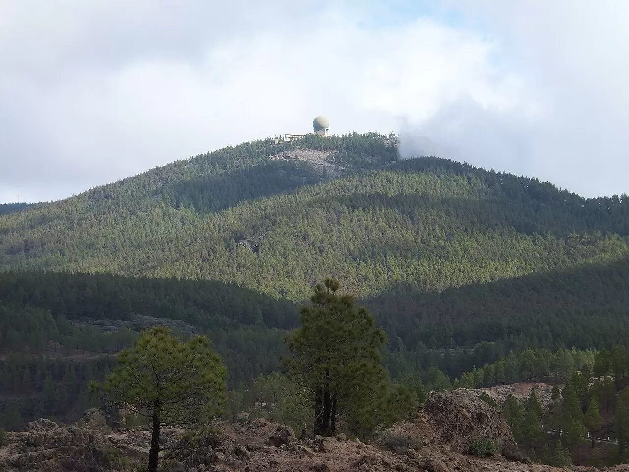
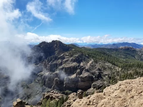
For a long time it was considered the highest point of Gran Canaria, although recent measurements give more height to the nearby Morro de la Agujereada, at 1957 metres. It lies on the boundary of San Bartolomé de Tirajana, Vega de San Mateo and Tejeda. Almost all the land on the summit is military: since 1968 it has hosted a radar of the Air Surveillance Squadron.
Next to the summit there is a very popular viewpoint. On the eastern slope, the Cabildo restored one of the 17th-century snow pits, where winter snow was stored to be taken down to Las Palmas; it can be visited.
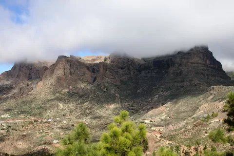
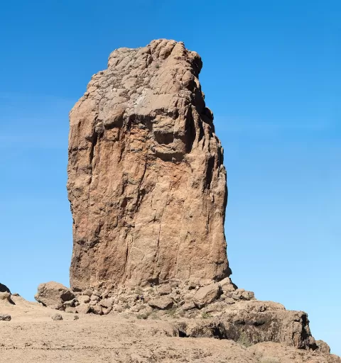
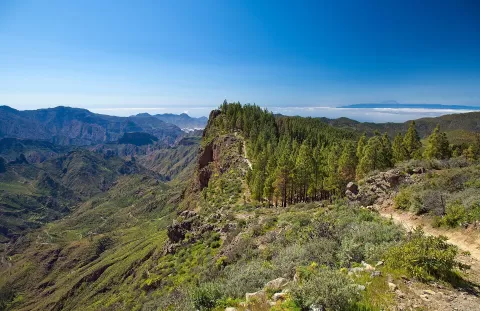
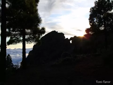
From the viewpoint you can see Roque Nublo and, when the air is clear, Mount Teide across the sea. Clouds often cover the summit in the afternoon, so first thing in the morning is the safest bet. If the afternoon is clear, Teide is silhouetted against the light at sunset.
What Pico de las Nieves has to offer
More viewpoints in Las Palmas More hiking trails in Las Palmas
Best time to photograph Pico de las Nieves today, 21 November
- Sunrise7:28 – 8:28golden hour
- Sunset17:07 – 18:07golden hour
- Blue hour18:07 – 18:32at dusk
At sunrise and sunset, low-angled light brings out the landscape's texture. Arrive 20 minutes early to get a good spot.
Hashtags for your photos of Pico de las Nieves
Upload your photo with #fotoMap and help more people discover this spot. The one with the most votes becomes the cover photo.
Reviews of Pico de las Nieves
Nobody has said what it's like yet. Have you been? Be the first to tell us.
Write a review