 See all 6 photos
Upload your photo
Corona Forestal Natural Park
No reviews yet
Do you like this place? Be the first to vote
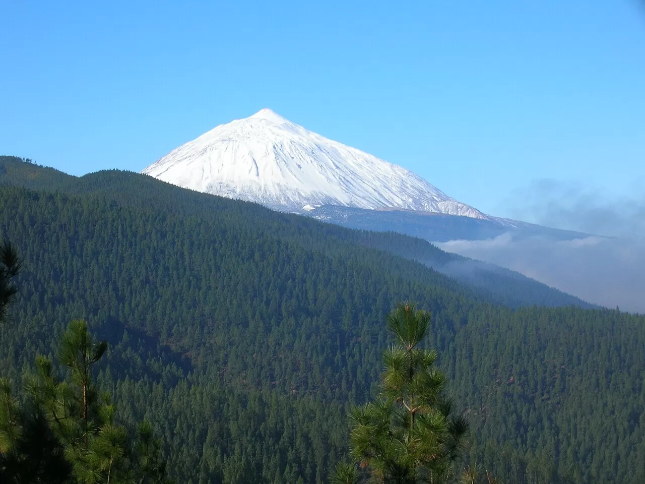
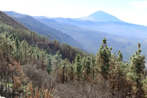
Corona Forestal Natural Park, created in 1994, protects 46,613 hectares of Tenerife and is the largest protected area in the Canary Islands. It surrounds Teide National Park like a belt of forest and is spread over 18 municipalities, from Adeje and Vilaflor to La Orotava and Santiago del Teide. It ranges from about 300 metres above sea level up to the 2718 metres of Alto de Guajara.
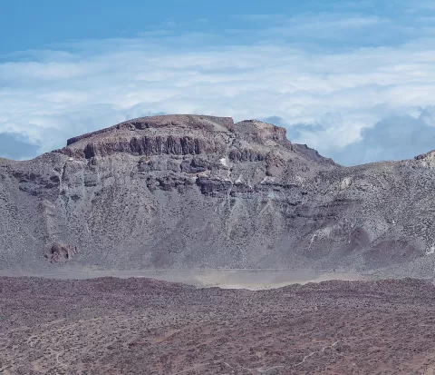
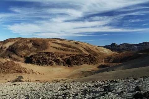
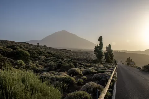
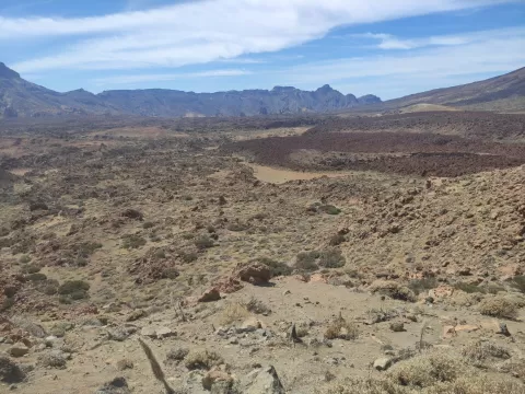
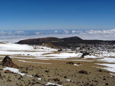
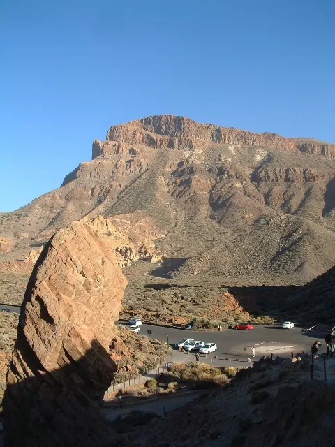
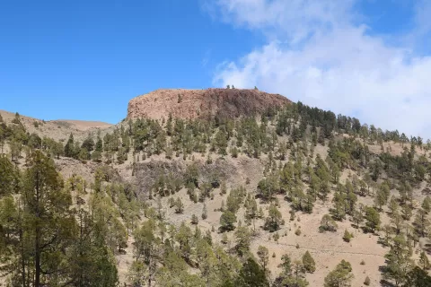
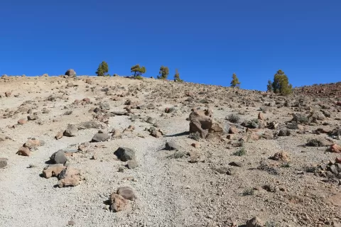
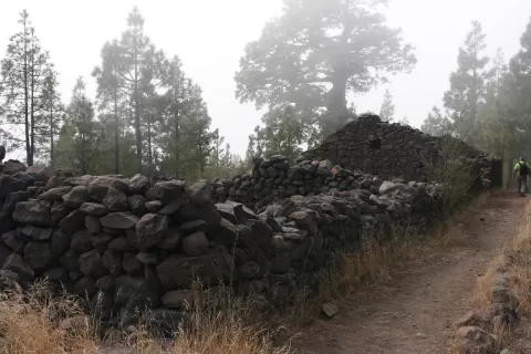
Its landscape is mainly Canary Island pine forest, more extensive on the northern slopes. In the south lies the Paisaje Lunar (Lunar Landscape), a group of shapes carved by erosion in the volcanic rock. The roads that climb to Las Cañadas from the north and the south cross the pine forest.
The photo combines the pine trunks with Teide in the background, or the pale shapes of the Paisaje Lunar. Low afternoon light brings out the relief of those shapes and lengthens the shadows of the pines.
What Corona Forestal Natural Park has to offer
More hiking trails in Santa Cruz de Tenerife
Best time to photograph Corona Forestal Natural Park today, 21 November
- Sunrise7:32 – 8:32golden hour
- Sunset17:11 – 18:11golden hour
- Blue hour18:11 – 18:36at dusk
Golden hour gives the most beautiful light: warm, soft and with long shadows.
Hashtags for your photos of Corona Forestal Natural Park
Upload your photo with #fotoMap and help more people discover this spot. The one with the most votes becomes the cover photo.
Reviews of Corona Forestal Natural Park
Nobody has said what it's like yet. Have you been? Be the first to tell us.
Write a review