 See all 6 photos
Upload your photo
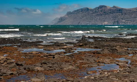
Famara
No reviews yet
Do you like this place? Be the first to vote
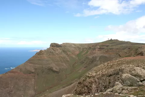
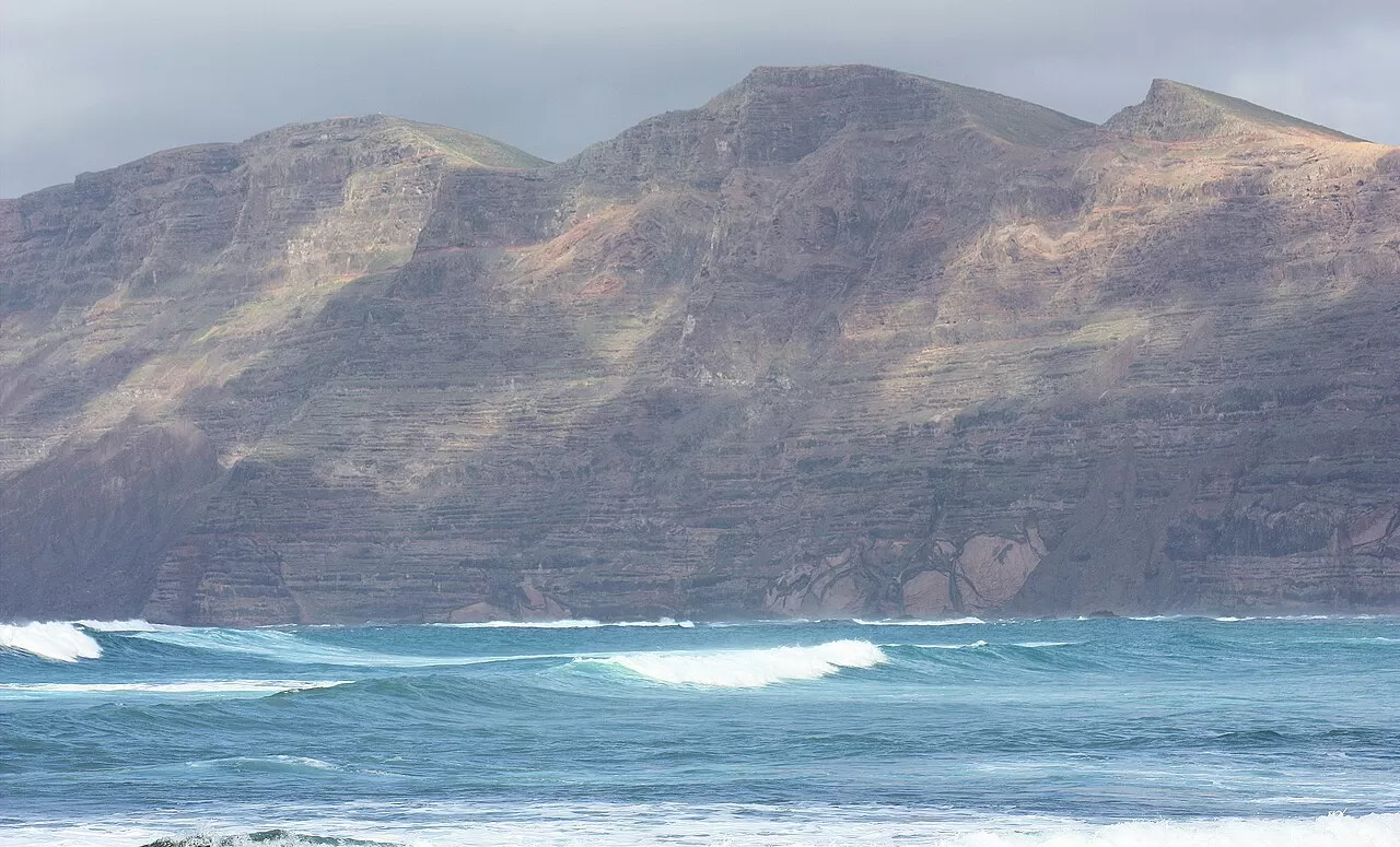
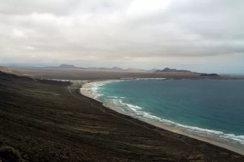
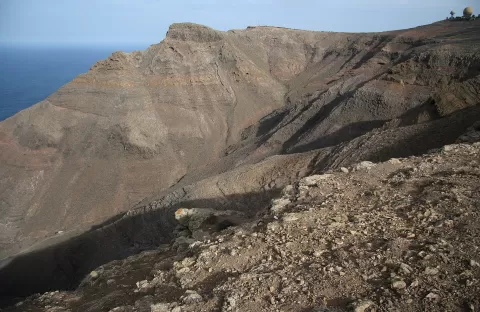
The Famara massif runs along the north of Lanzarote between Teguise and Haría. It is one of the oldest landforms on the island: its basalt lava flows piled up between 10.2 and 3.7 million years ago, and the great escarpment was formed by a landslide into the sea. Its highest point, the Peñas del Chache, reaches 671 metres.
At its foot stretches Famara beach, 2.8 km long, whose wind and strong waves draw surfers, and at its southern end is La Caleta de Famara. Up on the heights stands the hermitage of Las Nieves and, at the northern tip, the Mirador del Río.
The classic photo is taken from the beach or from La Caleta, with the wall of the cliff closing off the background. As the cliff faces west, the afternoon light hits it head-on and brings out the layers of lava. At low tide, the wet sand reflects the cliff.
What Famara has to offer
More viewpoints in Las Palmas More beaches and coves in Las Palmas More hiking trails in Las Palmas
Best time to photograph Famara today, 21 November
- Sunrise7:22 – 8:22golden hour
- Sunset16:57 – 17:57golden hour
- Blue hour17:57 – 18:22at dusk
At sunset the sea turns orange; at low tide you get reflections on the wet sand.
Hashtags for your photos of Famara
Upload your photo with #fotoMap and help more people discover this spot. The one with the most votes becomes the cover photo.
Reviews of Famara
Nobody has said what it's like yet. Have you been? Be the first to tell us.
Write a review