Hiking trails in Galicia
113 places of this kind in Galicia, ranked by their fotoMap score: what people who've been there like most, with recent votes counting more.
Updated on
-
1
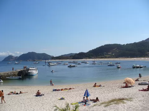 Cíes Islands
Pontevedra
White sand beaches and lighthouses over the Atlantic, opposite Vigo.
-
2
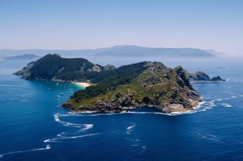 Atlantic Islands of Galicia National Park
Pontevedra
-
3
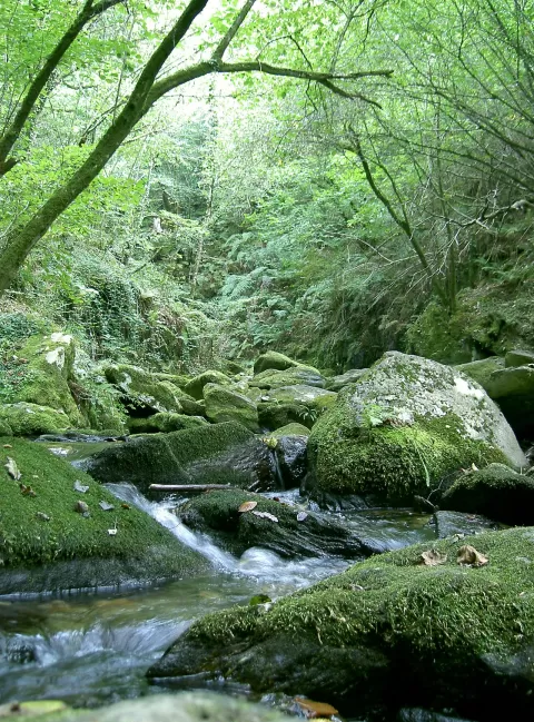 Fragas do Eume Natural Park
Cabanas (A Coruña)
One of Europe's finest Atlantic forests, along the banks of the River Eume, with the monastery of Caaveiro hidden in the woods.
-
4
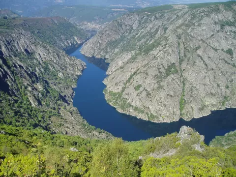 Sil Canyon
Pantón (Lugo)
-
5
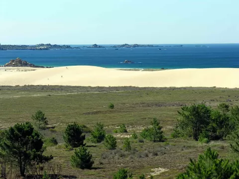 Dunas de Corrubedo and Lagoas de Carregal e Vixán Natural Park
Ribeira (A Coruña)
Galicia's largest moving dune, over a kilometre long, between A Ladeira and O Vilar beaches and two lagoons, one fresh and one salt.
-
6
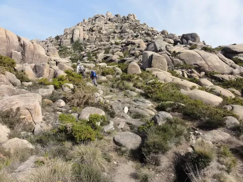 Mount Pindo
Carnota (A Coruña)
A 627-metre granite massif rising almost straight from the sea at Carnota, strewn with boulders, with views of Fisterra.
-
7
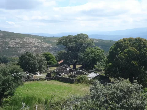 Baixa Limia e Serra do Xurés Natural Park
Lobios (Ourense)
Galicia's largest natural park, of granite boulders and spires beside Portugal, crossed by the Roman Via Nova and its milestones.
-
8
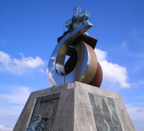 Monte do Gozo
Santiago de Compostela (A Coruña)
The last hill of the Camino Francés, at 370 metres, from which pilgrims see the cathedral towers for the first time.
-
9
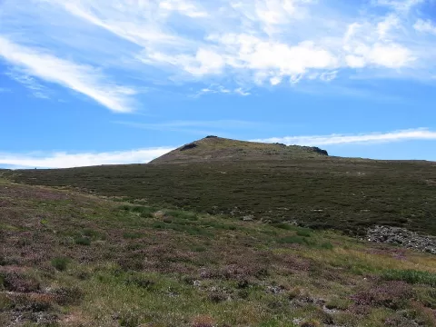 Peña Trevinca
A Veiga (Ourense)
At 2,127 metres, the roof of Galicia, on the border between Ourense and Zamora, among glacial lakes and the great yew wood of Casaio.
-
10
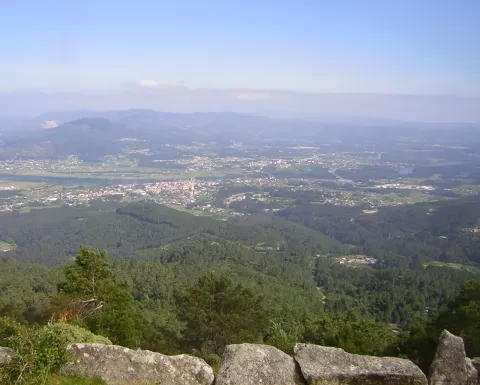 Monte Aloya
Tui (Pontevedra)
Galicia's oldest natural park: a 629-metre mountain above Tui with viewpoints over the Miño, Valença and the Atlantic Islands.
-
11
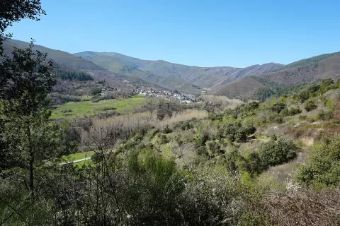 Serra da Enciña da Lastra Natural Park
Rubiá (Ourense)
Limestone natural park above the Sil valley, in Rubiá, with bat caves, holm oak woods and nine viewpoints.
-
12
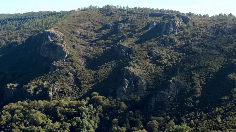 Sierra del Caurel
Lugo
Range of native forests and pallozas in south-eastern Lugo, with the Devesa da Rogueira and a 300-million-year-old rock fold.
-
13
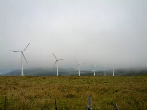 Capelada
A Coruña
Coastal range in northern A Coruña whose Herbeira cliffs drop over 600 metres to the Atlantic, among the highest in Europe.
-
14
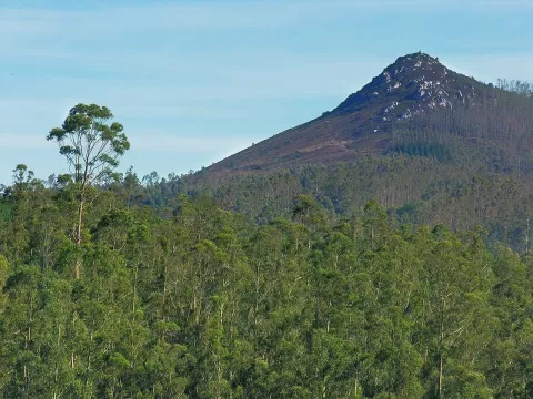 Pico Sacro
Boqueixón (A Coruña)
A pointed 533-metre quartz peak above the Ulla valley, linked to the legend of the translation of the Apostle St James.
-
15
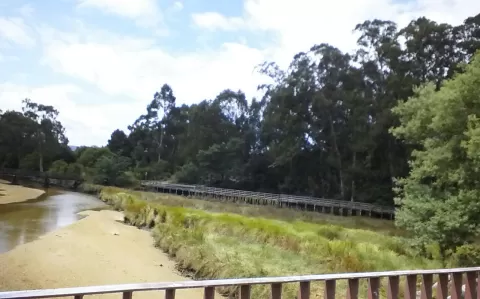 Marismas de Alba natural park
Pontevedra
A 67-hectare urban marsh at the mouth of the river Rons in Pontevedra, with rushbeds that the tide covers and uncovers.
-
16
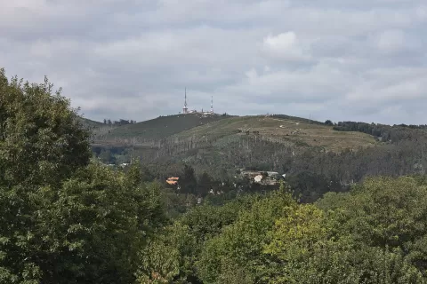 Monte Pedroso
Santiago de Compostela (A Coruña)
A 461-metre hill about 3 km from central Santiago, with viewpoints over the whole city and petroglyphs near the summit.
-
17
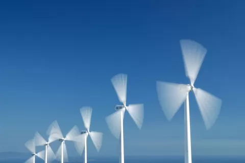 Sierra del Barbanza
A Coruña
-
18
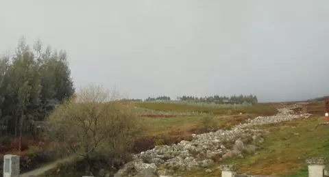 Sierra de Meira
Lugo
A slate range in eastern Lugo where the Miño rises, among the boulders of the Pedregal de Irimia, with the Eo on the other side.
-
19
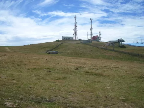 Mount Cabeza de Manzaneda
Manzaneda (Ourense)
A summit of some 1,780 metres in the Macizo Central of Ourense, with the Manzaneda mountain resort on its slopes.
-
20
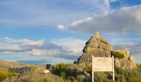 Penedo dos Tres Reinos
A Mezquita (Ourense)
A 1,025-metre crag in the Sierra de Marabón where Galicia, Zamora and Portugal meet, the three old kingdoms that give it its name.
-
21
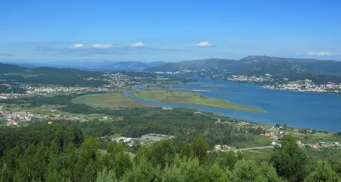 Monte de Santa Trega
A Guarda (Pontevedra)
-
22
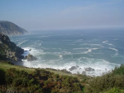 Costa Ártabra
Ares (A Coruña)
-
23
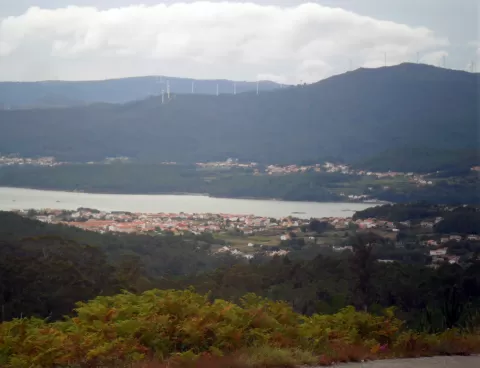 Tremuzo
A Coruña
A mountain of some 530 metres in Outes, the highest in the municipality, with a viewpoint over the Muros e Noia estuary and the mouth of the Tambre.
-
24
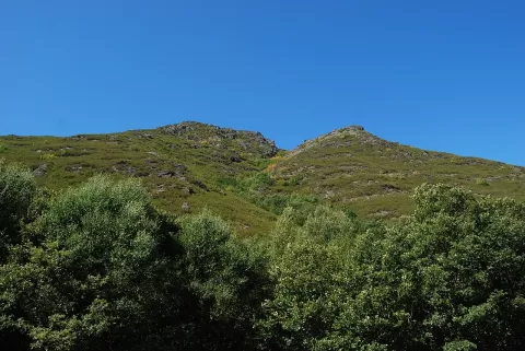 O Invernadeiro Natural Park
Vilariño de Conso (Ourense)
A mountain natural park in the central massif of Ourense, entered by permit with a daily quota, home to wolves, chamois and deer.
-
25
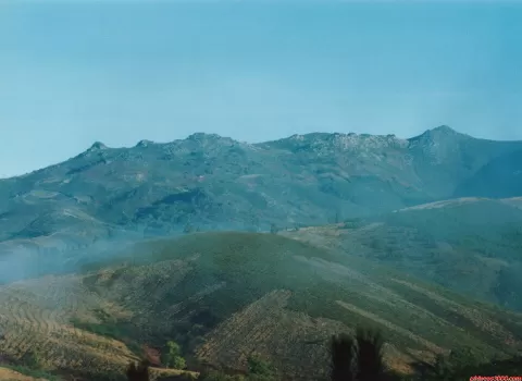 Sierra de San Mamede
Montederramo (Ourense)
-
26
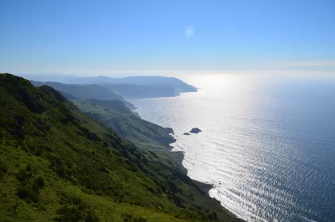 Acantilados de Vixía de Herbeira
Cariño (A Coruña)
-
27
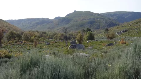 Macizo Central
O Bolo (Ourense)
-
28
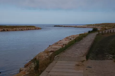 Ouro River
Lugo
-
29
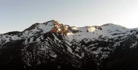 Mustallar
Lugo
Highest point of the province of Lugo in the Sierra de Ancares, at 1,935 metres, with a north face of rock walls over 400 metres high.
-
30
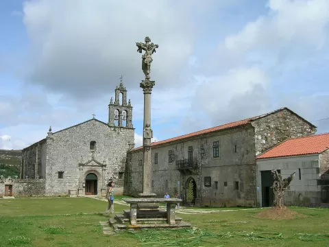 Serra do Candán
Forcarei (Pontevedra)
And 83 more on the map.
Frequently asked questions
Which hiking trails in Galicia are most worth visiting?
According to fotoMap's score, it's Cíes Islands (Pontevedra): White sand beaches and lighthouses over the Atlantic, opposite Vigo. Followed by Atlantic Islands of Galicia National Park and Fragas do Eume Natural Park.
What's the best time to take photos in Galicia?
Golden hour, with low, warm light: today, 21 November, 8:32 – 9:32 in the morning and 17:05 – 18:05 in the evening. For a deep blue sky, blue hour: 8:01 – 8:32 in the morning and 18:05 – 18:36 in the evening. Each place shows the times for its exact location.