Hiking trails in Alicante
41 places of this kind in Alicante, ranked by their fotoMap score: what people who've been there like most, with recent votes counting more.
Updated on
-
1
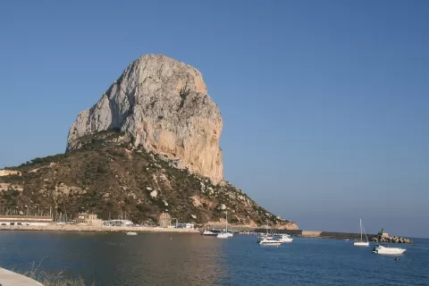 Penyal d'Ifac Natural Park
Calpe (Alicante)
A 332-metre limestone rock rising from the sea beside Calpe, joined to land by an isthmus; climbing to the top requires booking ahead.
-
2
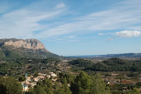 El Montgó Natural Park
Alicante
A 753-metre limestone massif dropping almost sheer to the sea between Denia and Jávea, with Cape San Antonio at its feet.
-
3
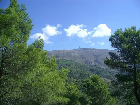 Sierra de Aitana
Alicante
The highest range in the province of Alicante, at 1,558 metres, with the Partagat chasms and views reaching Ibiza on clear days.
-
4
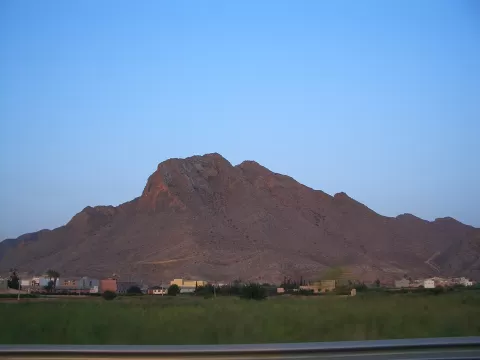 Sierra de Callosa
Callosa de Segura (Alicante)
Limestone range rising sheer above the Vega Baja in Callosa de Segura, about 572 metres high, with an Islamic castle and Bonelli's eagles.
-
5
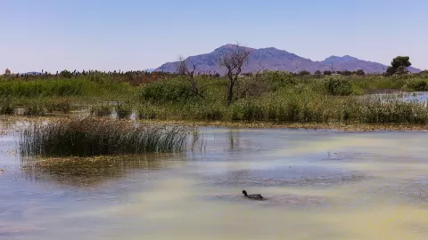 El Fondo Natural Park
Crevillente (Alicante)
2,387-hectare wetland between Elche and Crevillente, with two large lagoons and one of the largest populations of white-headed duck.
-
6
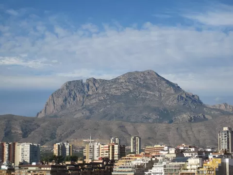 Puig Campana
Finestrat (Alicante)
1,410-metre limestone peak less than eight kilometres from the sea, with a great notch in its summit that legend attributes to Roland.
-
7
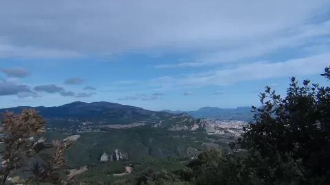 Carrascal de la Font Roja Natural Park
Alicante
Holm oak forest in the Menejador range, between Alcoy and Ibi, with a sanctuary, 18th-century snow pits and a summit at 1,356 m.
-
8
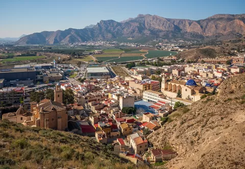 Sierra de Orihuela
Alicante
Isolated 634-metre limestone range above the Bajo Segura plain, with old iron mines and eagle owls on its crags.
-
9
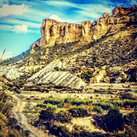 Sierra de Crevillente
Alicante
-
10
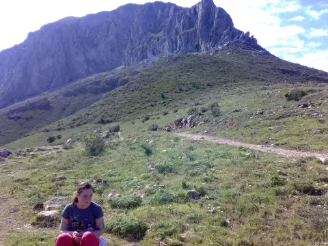 Sierra de Bernia
Alicante
-
11
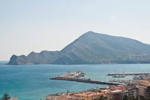 Parque natural de la Sierra Helada
Altea (Alicante)
A range plunging into the sea in cliffs over 300 metres high between the bays of Benidorm and Altea, with a lighthouse on the l'Albir headland.
-
12
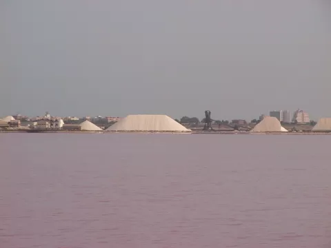 Lagunas de La Mata y Torrevieja Natural Park
Torrevieja (Alicante)
Two salt lagoons with 2,100 hectares of water, one tinted pink by an alga, where salt has been harvested since the Middle Ages.
-
13
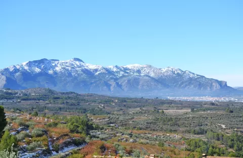 Serra Mariola Natural Park
Alicante
-
14
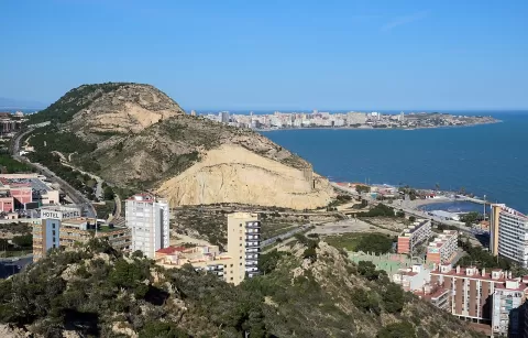 Sierra Grossa de Alicante
Alicante
A 173-metre coastal ridge between Alicante and La Albufereta, whose quarries supplied the stone for Santa María and the City Hall.
-
15
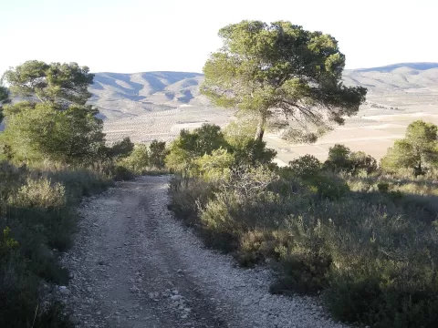 Sierra de la Villa
Alicante
A range above Villena crowned by the ruins of Salvatierra castle, with pine woods on its north face and a lookout over the whole valley.
-
16
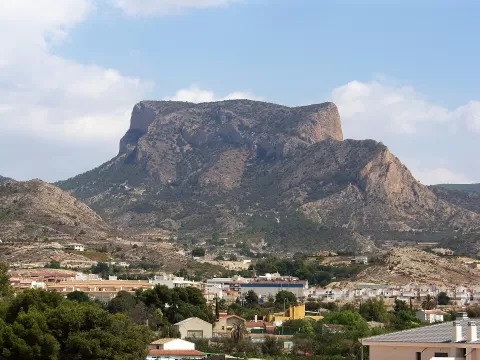 Sierra del Cid
Alicante
-
17
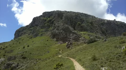 Montcabrer
Muro de Alcoy (Alicante)
At 1,390 metres, the highest point of the Sierra de Mariola, in Cocentaina, the third-highest peak in Alicante province and once goat pasture.
-
18
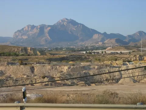 Sierra del Cabezón de Oro
Relleu (Alicante)
-
19
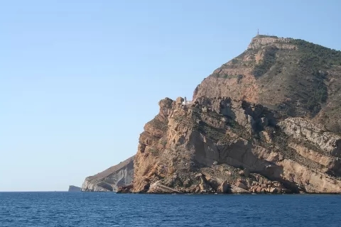 Sierra Helada
Alicante
6-km range between Benidorm, l'Alfàs del Pi and Altea that drops into the sea in cliffs of over 300 metres, with l'Albir lighthouse.
-
20
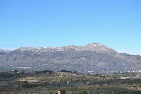 Sierra de Benicadell
Alicante
Range of about 25 kilometres between the Vall d'Albaida and El Comtat, crowned by Benicadell peak, at about 1,104 metres.
-
21
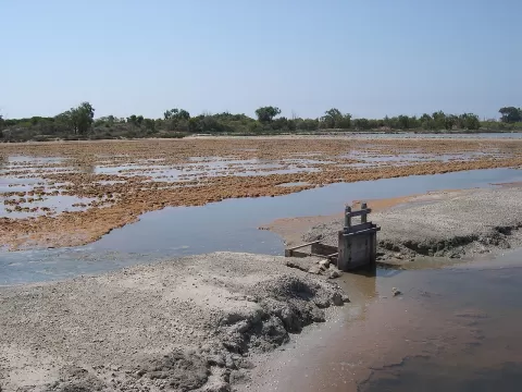 Salinas de Santa Pola Natural Park
Santa Pola (Alicante)
2,470-hectare wetland born of the salt industry, with seawater pans, dunes and the Tamarit tower by the coast.
-
22
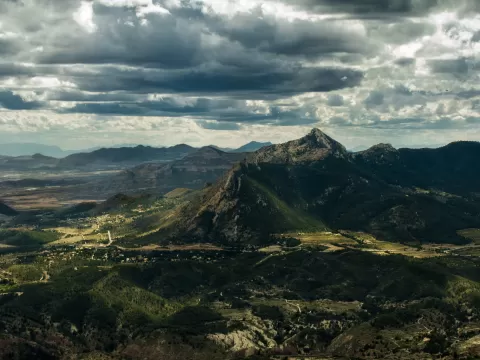 Sierra del Maigmó
Alicante
-
23
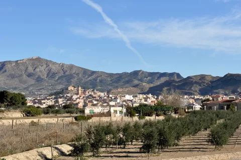 Sierra del Ventós
Agost (Alicante)
Arid esparto-grass range between Agost and Tibi, with the 902-metre Cabezo Ventós, from which you can see as far as Tabarca island.
-
24
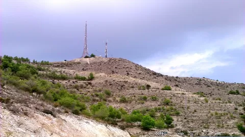 Sierra de la Torreta
Elda (Alicante)
-
25
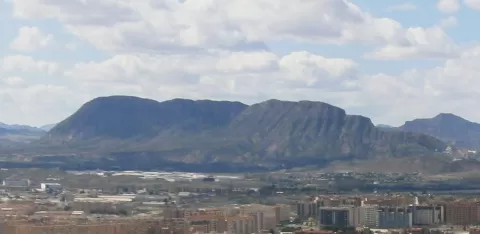 Sierra de Fontcalent
Alicante
-
26
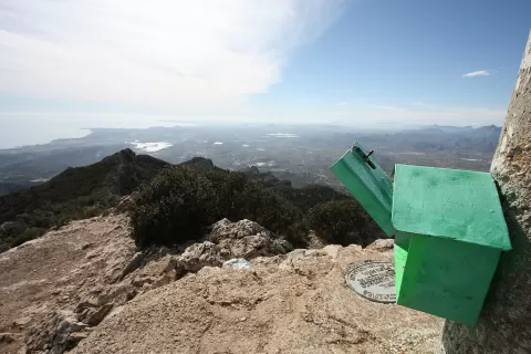 Cabezón de Oro
Alicante
-
27
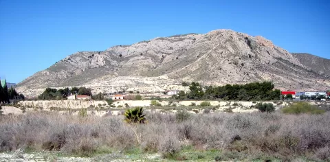 Monte Bolón
Elda (Alicante)
-
28
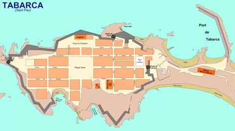 Isla de Tabarca
Alicante
-
29
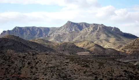 Sierra de Camara
Elda (Alicante)
-
30
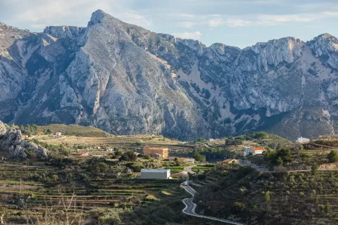 Sierra del Ferrer
Tárbena (Alicante)
And 11 more on the map.
Frequently asked questions
Which hiking trails in Alicante are most worth visiting?
According to fotoMap's score, it's Penyal d'Ifac Natural Park (Calpe (Alicante)): A 332-metre limestone rock rising from the sea beside Calpe, joined to land by an isthmus; climbing to the top requires booking ahead. Followed by El Montgó Natural Park and Sierra de Aitana.
What's the best time to take photos in Alicante?
Golden hour, with low, warm light: today, 21 November, 7:50 – 8:50 in the morning and 16:45 – 17:45 in the evening. For a deep blue sky, blue hour: 7:21 – 7:50 in the morning and 17:45 – 18:13 in the evening. Each place shows the times for its exact location.