 See all 6 photos
Upload your photo
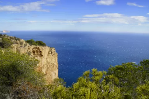
Sierra Helada
No reviews yet
Do you like this place? Be the first to vote
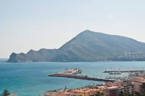
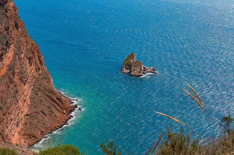
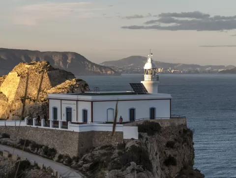
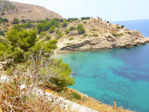
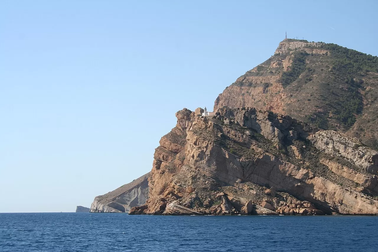
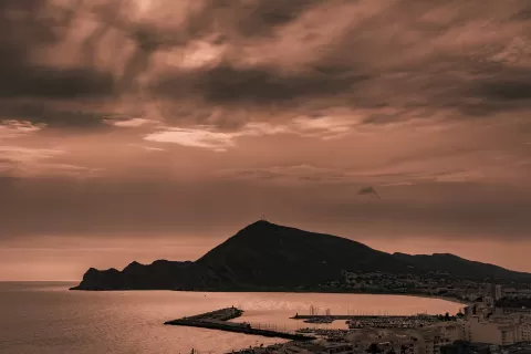
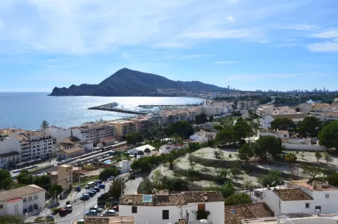
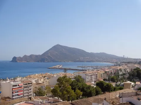
The Serra Gelada is a coastal range about 6 km long between Benidorm, l'Alfàs del Pi and Altea, a natural park since 2005. Its highest point is the Alto del Gobernador, at 430 metres, topped with antennas, and its seaward face drops in cliffs over 300 metres high. The park also includes Benidorm Island and the islets of La Mitjana and La Olla, and there are perched fossil dunes in the range.
The easiest route is the one to the l'Albir lighthouse, from 1863: it starts at the park's information centre, where there is a car park, and follows a paved path of about 5 km there and back, suitable for pushchairs and wheelchairs. The paths along the clifftop are another matter and have dangerous stretches.
The lighthouse on the cliff, with the sea below, is the shot. At sunset the light falls sideways across the rock face.
What Sierra Helada has to offer
More viewpoints in Alicante More hiking trails in Alicante
Best time to photograph Sierra Helada today, 21 November
- Sunrise7:48 – 8:48golden hour
- Sunset16:43 – 17:43golden hour
- Blue hour17:43 – 18:12at dusk
At sunrise and sunset, low-angled light brings out the landscape's texture. Arrive 20 minutes early to get a good spot.
Hashtags for your photos of Sierra Helada
Upload your photo with #fotoMap and help more people discover this spot. The one with the most votes becomes the cover photo.
Reviews of Sierra Helada
Nobody has said what it's like yet. Have you been? Be the first to tell us.
Write a review