 See all 6 photos
Upload your photo
Sierra de Orihuela
No reviews yet
Do you like this place? Be the first to vote
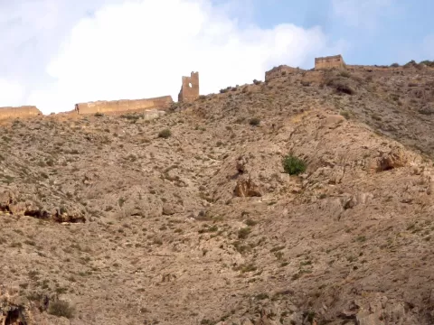
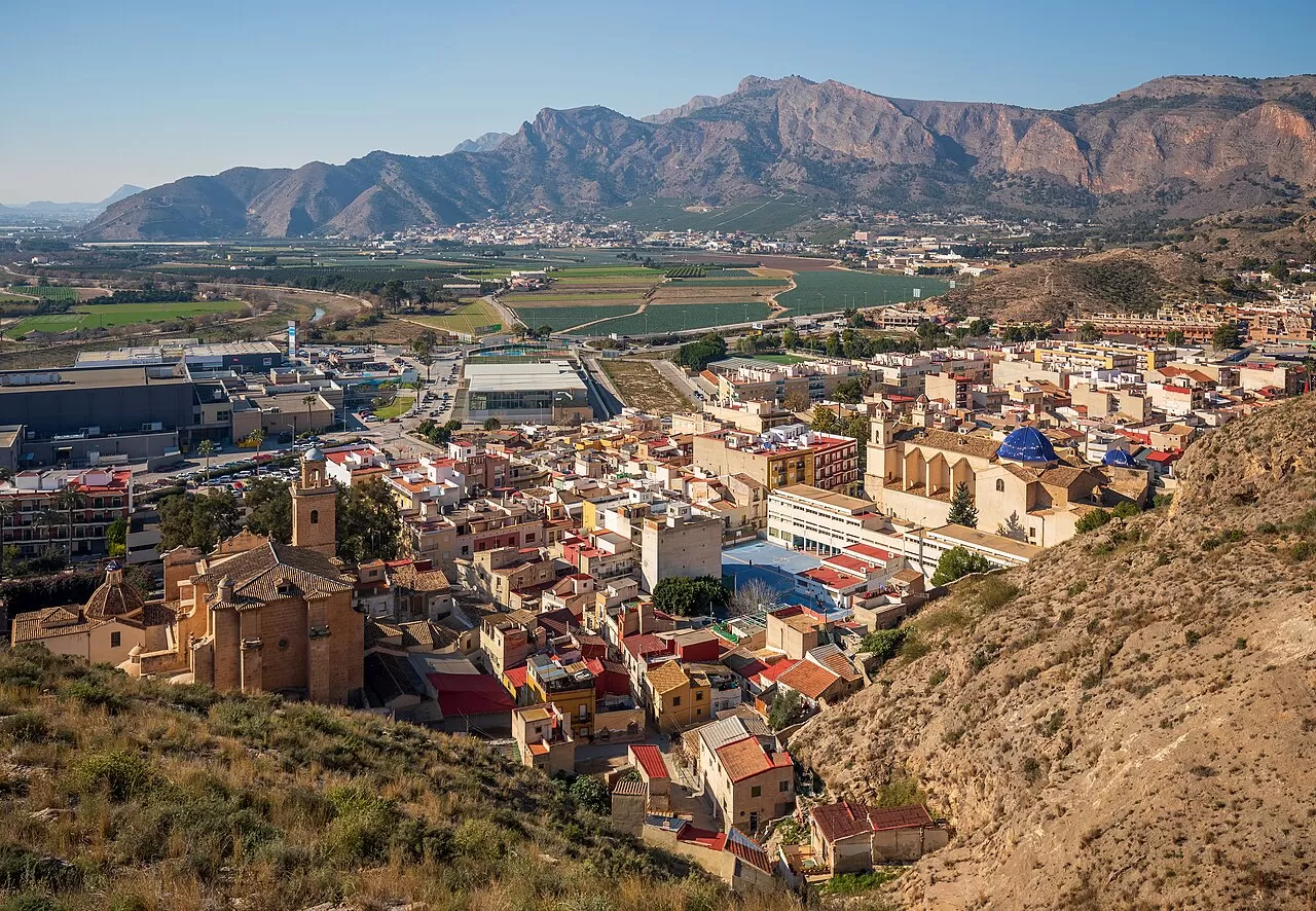
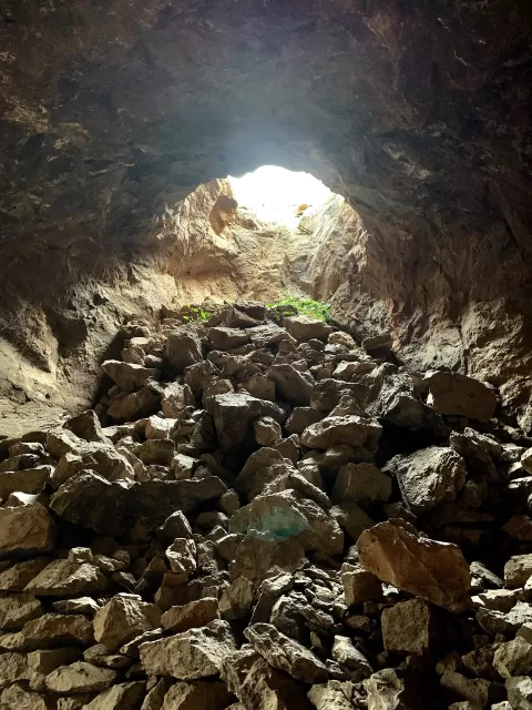
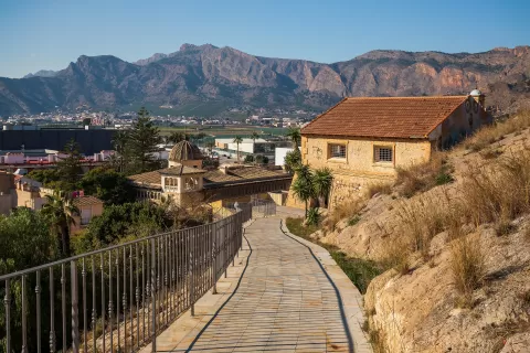
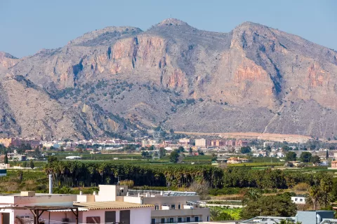
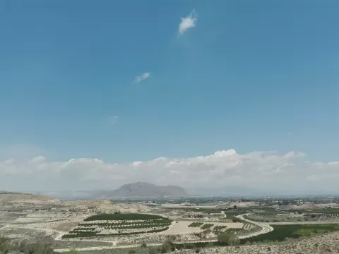
The Sierra de Orihuela rises in isolation above the alluvial plain of the Bajo Segura, between Orihuela and Santomera, on the border between Alicante and Murcia. It is made of blocks of Triassic dolomitic limestone, steep and heavily fractured, reaching 634 metres. Shafts and galleries from old iron mines are plentiful.
It is a Site of Community Importance, with several plant micro-reserves, and the Santomera part is a site of cultural interest as a historic site. It has replanted pine woods and cliff-dwelling species, some of them endemic, and it is home to golden eagles, eagle owls and garden dormice.
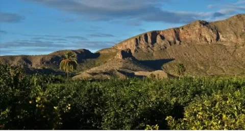
Among its summits are La Muela, the Pico del Cuervo, the Pico del Águila and the Cruz de la Muela, at 465 metres. In the low afternoon light the rock takes on a warm tone and stands out against the farmland of the plain around it.
What Sierra de Orihuela has to offer
More viewpoints in Alicante More hiking trails in Alicante
Best time to photograph Sierra de Orihuela today, 21 November
- Sunrise7:51 – 8:51golden hour
- Sunset16:48 – 17:48golden hour
- Blue hour17:48 – 18:16at dusk
At sunrise and sunset, low-angled light brings out the landscape's texture. Arrive 20 minutes early to get a good spot.
Hashtags for your photos of Sierra de Orihuela
Upload your photo with #fotoMap and help more people discover this spot. The one with the most votes becomes the cover photo.
Reviews of Sierra de Orihuela
Nobody has said what it's like yet. Have you been? Be the first to tell us.
Write a review