 See all 6 photos
Upload your photo
Sierra de Benicadell
No reviews yet
Do you like this place? Be the first to vote
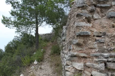
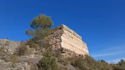
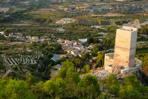
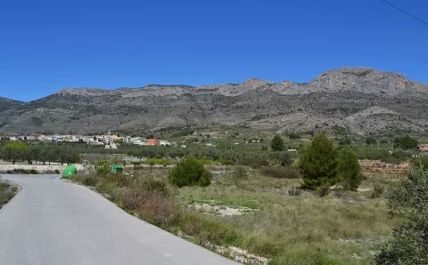
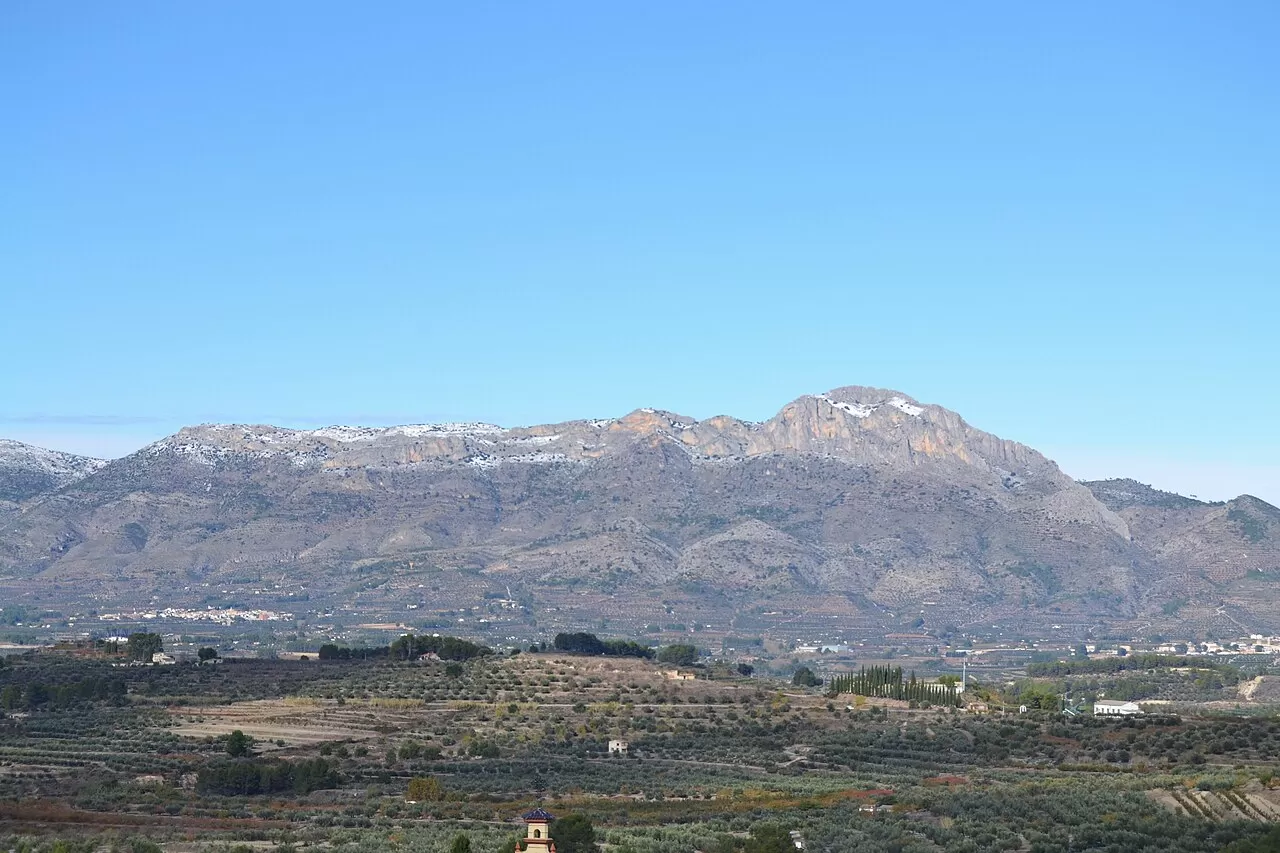
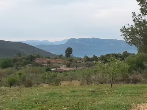
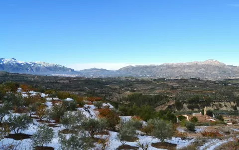
The Serra del Benicadell forms a natural border, some 25 kilometres long, between the Vall d'Albaida, in the province of Valencia, and the Comtat, in the province of Alicante. Its highest point is the Benicadell peak, at about 1,104 metres. On it are the ruins of the castle of Peña Cadiella, which El Cid rebuilt in 1091 and which is identified with the castle of Carbonera.
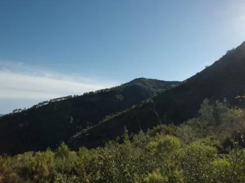
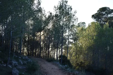
To the south-west it ends at the Albaida pass, at 600 metres, crossed by the inland route between Alicante and Valencia. To the north-east it drops towards the river Serpis. The northern slope, which gets more rain, has more varied vegetation than the southern one; the pine woods have suffered fires.
The profile of the range can be seen from the valleys on both sides. From the Vall d'Albaida you look at the north face, the greenest; from the Comtat, the south face, which is barer. The Benicadell peak defines the silhouette.
What Sierra de Benicadell has to offer
More viewpoints in Alicante More hiking trails in Alicante
Best time to photograph Sierra de Benicadell today, 21 November
- Sunrise7:50 – 8:50golden hour
- Sunset16:44 – 17:44golden hour
- Blue hour17:44 – 18:13at dusk
At sunrise and sunset, low-angled light brings out the landscape's texture. Arrive 20 minutes early to get a good spot.
Hashtags for your photos of Sierra de Benicadell
Upload your photo with #fotoMap and help more people discover this spot. The one with the most votes becomes the cover photo.
Reviews of Sierra de Benicadell
Nobody has said what it's like yet. Have you been? Be the first to tell us.
Write a review