 See all 6 photos
Upload your photo
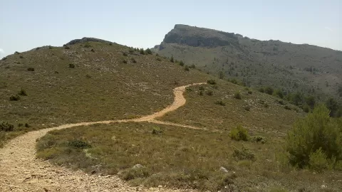
Montcabrer
No reviews yet
Do you like this place? Be the first to vote
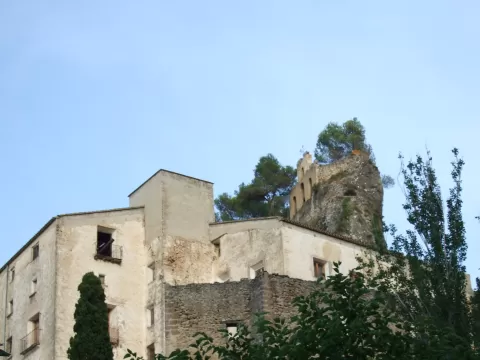
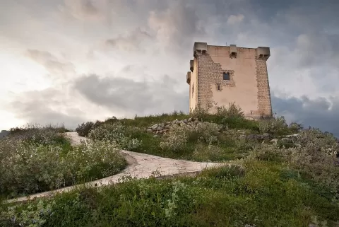
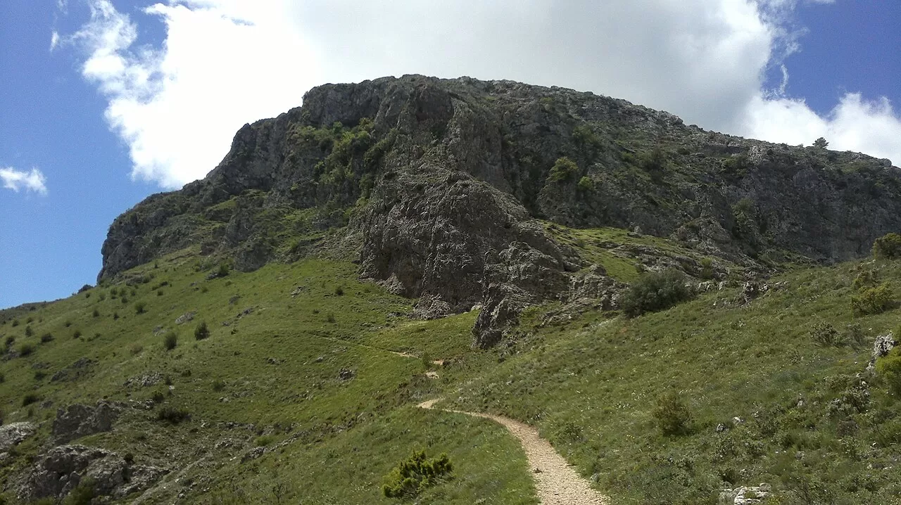
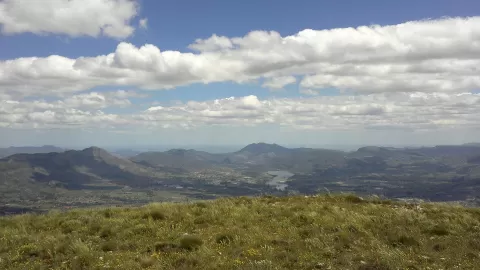
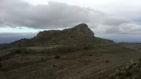
Montcabrer is the highest peak of the Serra de Mariola, at 1,390 metres, and the third highest in the province of Alicante. It lies in the municipality of Cocentaina, within the Serra de Mariola Natural Park. Its name comes from the goats that shepherds took up to graze on the summit.
By car, take the tarmac road that starts near the old Estación del Norte in Cocentaina. It climbs through pine woods and country houses, loses its surface at around 900 metres and continues as a well-kept dirt track to the ruins of the Mas de Llopis. From there, a well-marked path reaches the summit in about 45 minutes. You can also walk up from Agres.
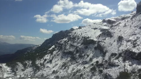
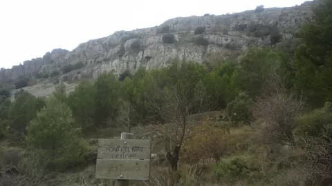
The summit photo is of the Serra de Mariola all around, from its highest point. On the way up, the pine woods and the ruins of the Mas de Llopis provide the foregrounds.
What Montcabrer has to offer
More viewpoints in Alicante More hiking trails in Alicante
Best time to photograph Montcabrer today, 21 November
- Sunrise7:50 – 8:50golden hour
- Sunset16:44 – 17:44golden hour
- Blue hour17:44 – 18:13at dusk
At sunrise and sunset, low-angled light brings out the landscape's texture. Arrive 20 minutes early to get a good spot.
Hashtags for your photos of Montcabrer
Upload your photo with #fotoMap and help more people discover this spot. The one with the most votes becomes the cover photo.
Reviews of Montcabrer
Nobody has said what it's like yet. Have you been? Be the first to tell us.
Write a review