 See all 6 photos
Upload your photo
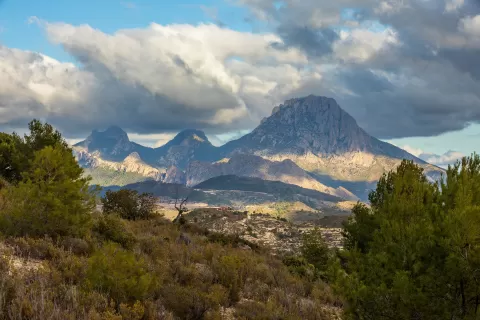
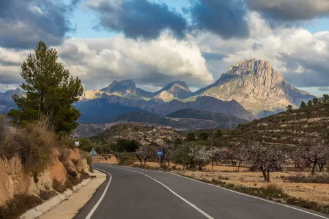
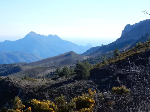
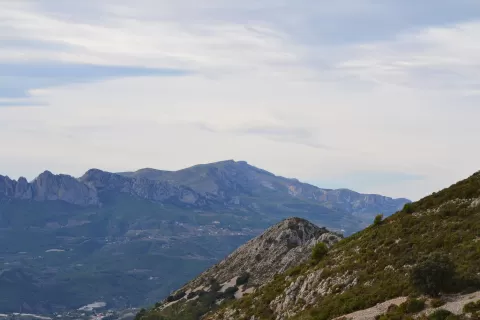
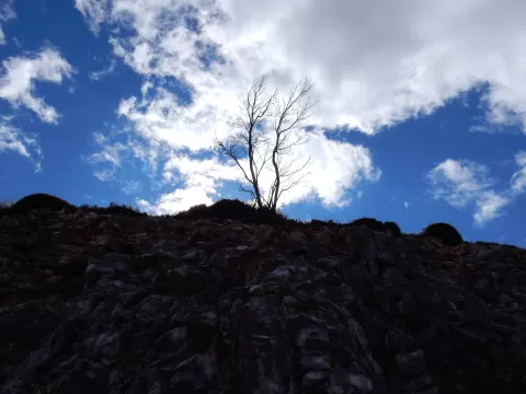
Sierra de Aitana
No reviews yet
Do you like this place? Be the first to vote
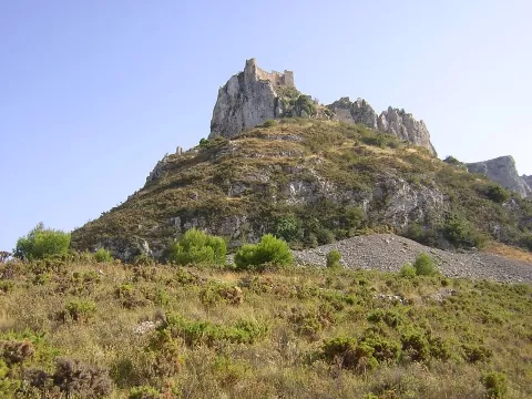
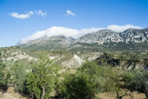
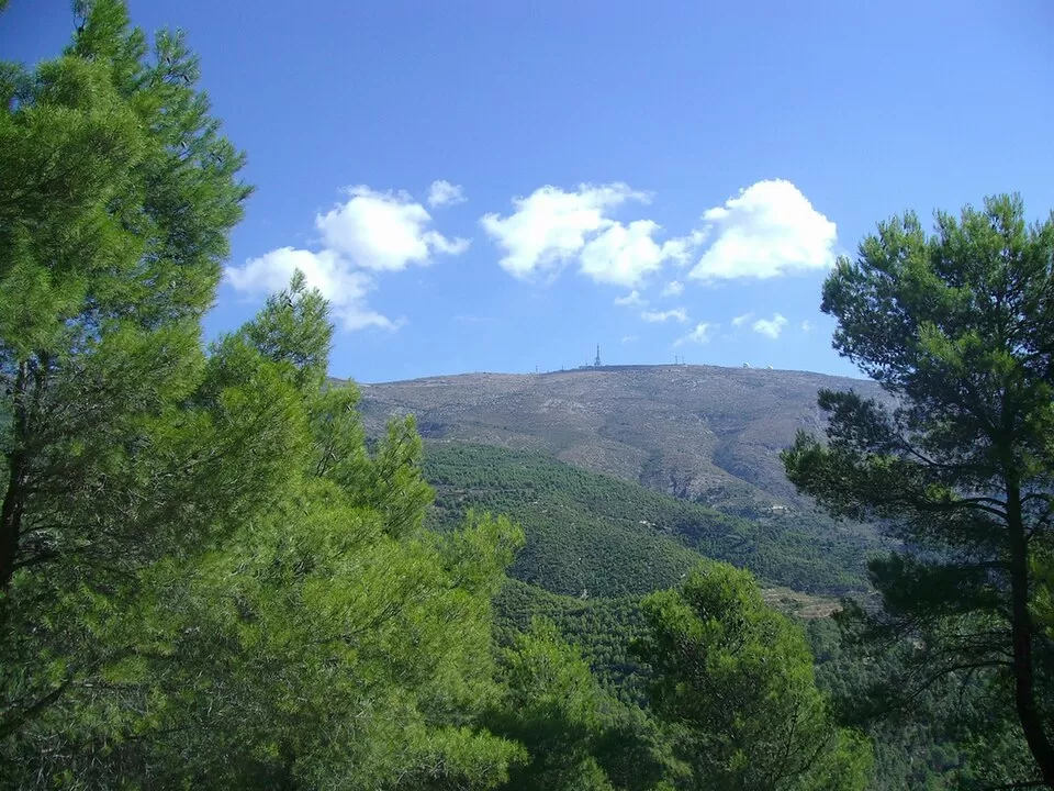
The Sierra de Aitana, in the north of the province of Alicante, belongs to the Prebetic system. Its summit, at 1,558 metres, is the highest point in the province, but it is occupied by an air surveillance base and a telecommunications centre, and the summit point cannot be reached. Other high points are Peña Alta, at 1,506 metres, and Peña Mulero, at 1,308.
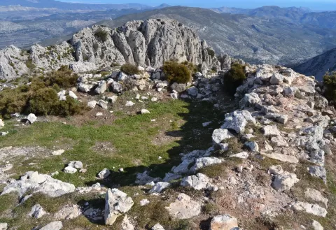
It can be reached from Benifato, Confrides, Alcolecha or Guadalest. The PR-CV-21 footpath links the Partagat area with the Tudons pass. The Partagat chasms, large fissures opened in the limestone less than a kilometre from the summit, can only be reached on foot.
The chasms make the most striking photo, with light coming in through the fissure. On clear days you can see Ibiza and even Mallorca. Frost and snow are common in winter, and the range holds 14 snow pits.
What Sierra de Aitana has to offer
More viewpoints in Alicante More hiking trails in Alicante
Best time to photograph Sierra de Aitana today, 21 November
- Sunrise7:49 – 8:49golden hour
- Sunset16:44 – 17:44golden hour
- Blue hour17:44 – 18:12at dusk
At sunrise and sunset, low-angled light brings out the landscape's texture. Arrive 20 minutes early to get a good spot.
Hashtags for your photos of Sierra de Aitana
Upload your photo with #fotoMap and help more people discover this spot. The one with the most votes becomes the cover photo.
Reviews of Sierra de Aitana
Nobody has said what it's like yet. Have you been? Be the first to tell us.
Write a review