Hiking trails in Valencia
38 places of this kind in Valencia, ranked by their fotoMap score: what people who've been there like most, with recent votes counting more.
Updated on
-
1
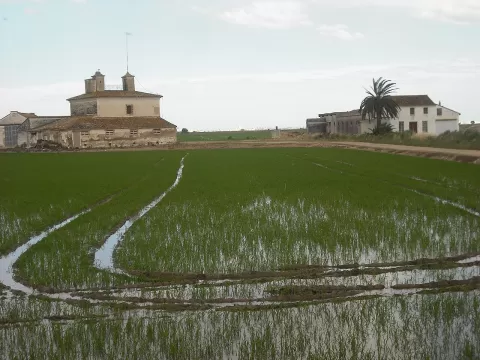 La Albufera Natural Park
Valencia
A large lake surrounded by rice fields 10 km from Valencia, cut off from the sea by the Devesa del Saler, with sunsets over the water.
-
2
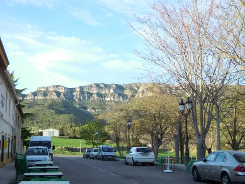 Sierra Martés
Valencia
-
3
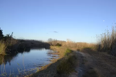 Marjal de Pego-Oliva Natural Park
Oliva (Valencia)
A 1,255-hectare wetland between Pego and Oliva, with rice fields, the Bullent and Racons rivers and waterbirds such as the whiskered tern.
-
4
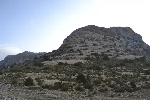 Sierra del Mugrón
Valencia
-
5
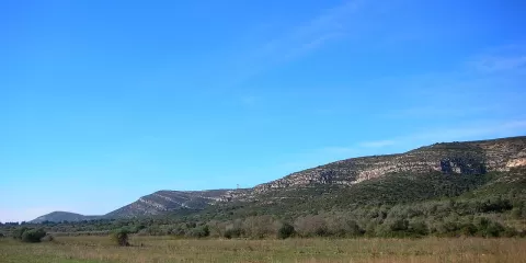 Sierra Grossa
Valencia
A long, broad limestone range separating the Vall d'Albaida from La Costera, with ravines, summits up to 904 metres and the Bellús narrows.
-
6
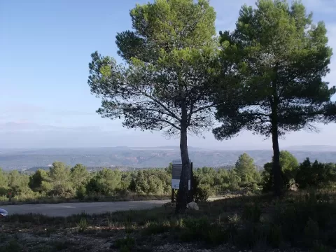 Natural Park River Cabriel
Valencia
Gorges cut into limestone by the river Cabriel, with the Cuchillos de Contreras, vertical crests in the Valencian Community's largest protected area.
-
7
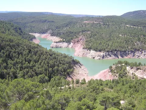 Sierra del Negrete
Valencia
-
8
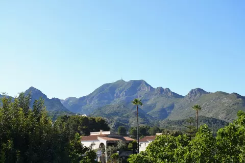 Mondúver
Valencia
841-metre limestone massif above La Safor, with views of the beaches of Gandia and Xeraco and, on very clear days, as far as Ibiza.
-
9
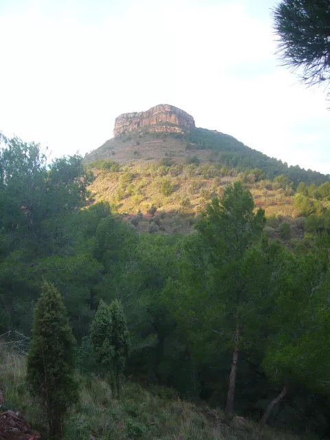 Mola de Segart
Segart (Valencia)
565-metre red sandstone mesa in the Serra Calderona, above Segart, with views of the Gulf of Valencia and Penyagolosa.
-
10
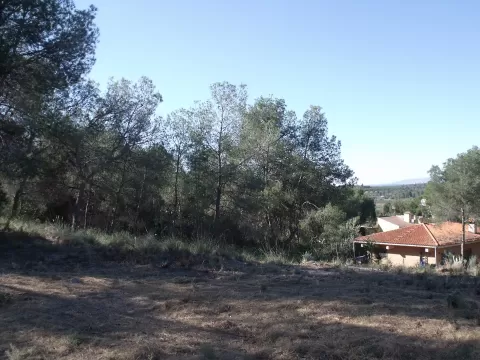 Les Rodanes
Villamarchante (Valencia)
-
11
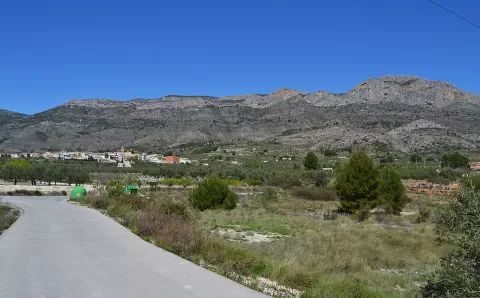 Sierra de Benicadell
Beniatjar (Valencia)
1,104-metre limestone ridge separating the Vall d'Albaida from El Comtat, with a rocky profile recognisable from afar.
-
12
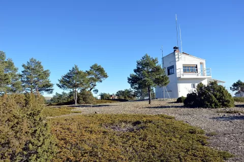 Pico Gavilán
Puebla de San Miguel (Valencia)
Second-highest summit in the province of Valencia, at 1,750 metres, a rounded balcony of the Sierra de Javalambre above the Rincón de Ademuz.
-
13
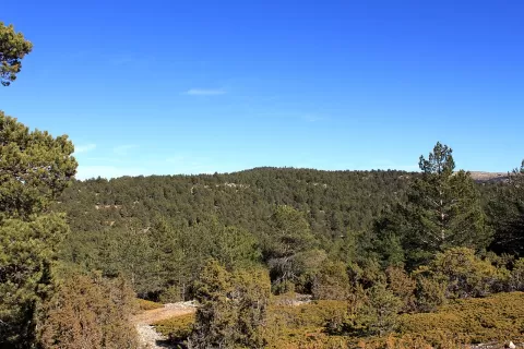 Cerro Calderón
Puebla de San Miguel (Valencia)
The highest point of the Valencian Community, 1,838 metres in the Sierra de Javalambre, with Scots pine, junipers and creeping savin.
-
14
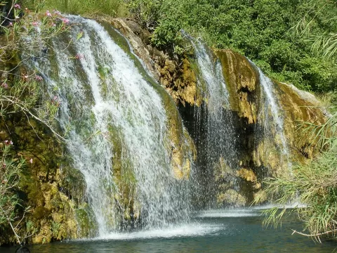 Chera-Sot de Chera Natural Park
Chera (Valencia)
Valencian natural park devoted to geology, with folded strata, the Barranco de la Hoz gorge and the Las Toscas waterfalls.
-
15
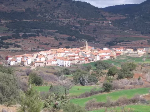 Puebla de San Miguel Natural Park
Puebla de San Miguel (Valencia)
Natural park in the Rincón de Ademuz with Spanish juniper woods, Valencia's largest population of yews and monumental pines.
-
16
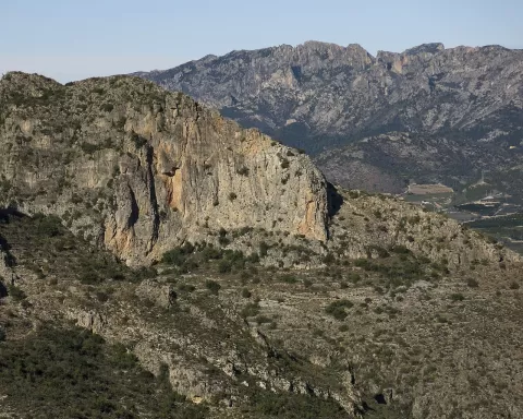 Sierra de les Agulles
Valencia
Twelve-kilometre limestone range between La Ribera and La Valldigna, with a crest of rock needles that gives it its name.
-
17
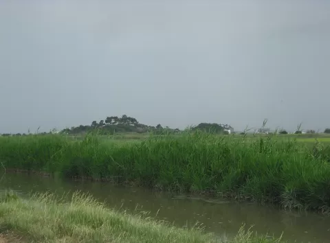 Montaña de los Santos
Sueca (Valencia)
27-metre limestone outcrop surrounded by rice fields in the Albufera, at Sueca, crowned by a hermitage of medieval origin.
-
18
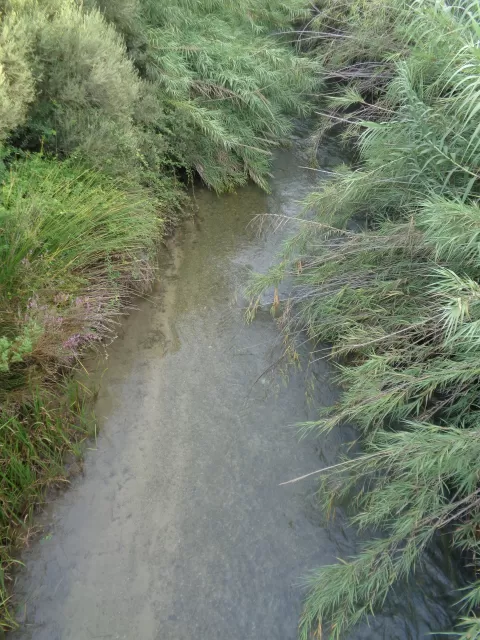 Túria Natural Park
Liria (Valencia)
-
19
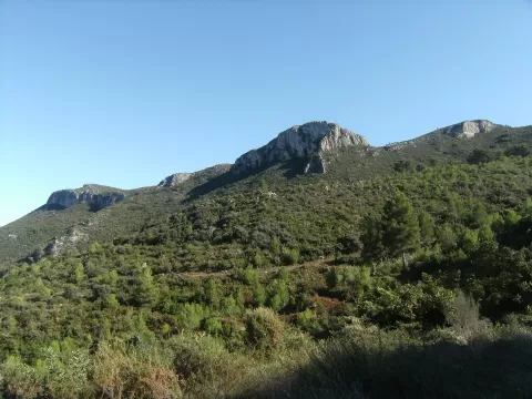 Sierra de Ador
Valencia
-
20
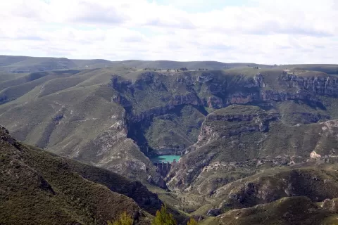 Muela de Cortes
Cortes de Pallás (Valencia)
-
21
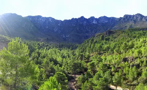 Monte Safor
Valencia
-
22
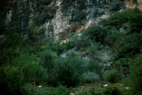 Cova de les Rates Penades
Ròtova (Valencia)
-
23
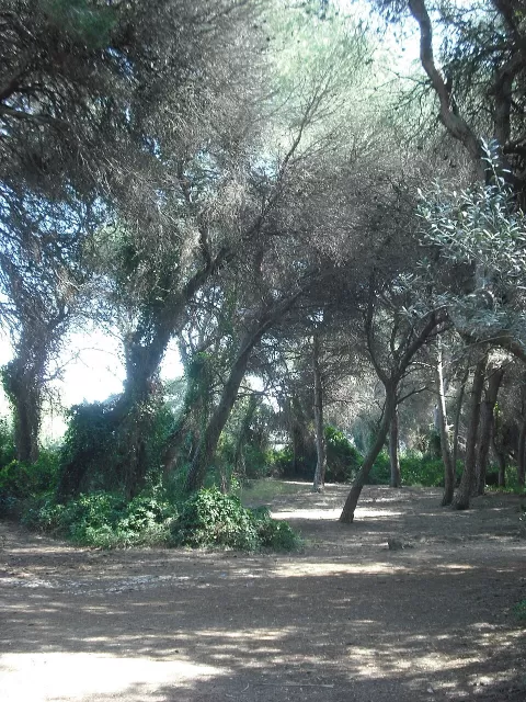 Dehesa del Saler
Valencia
-
24
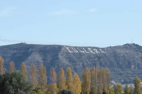 Montaña de Cullera
Cullera (Valencia)
-
25
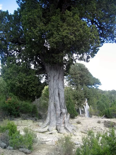 Sabinar de las Blancas
Puebla de San Miguel (Valencia)
-
26
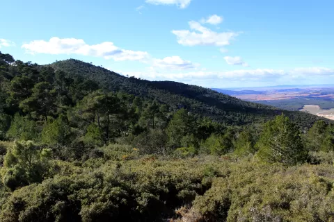 Sierra de Malacara
Valencia
-
27
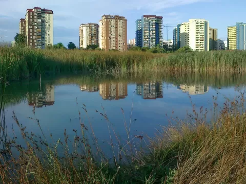 Marjal de Rafalell y Vistabella
Masamagrell (Valencia)
-
28
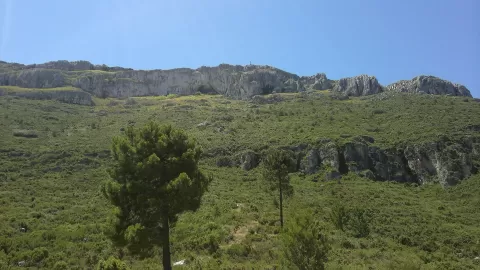 Sierra de Agullent
Onteniente (Valencia)
-
29
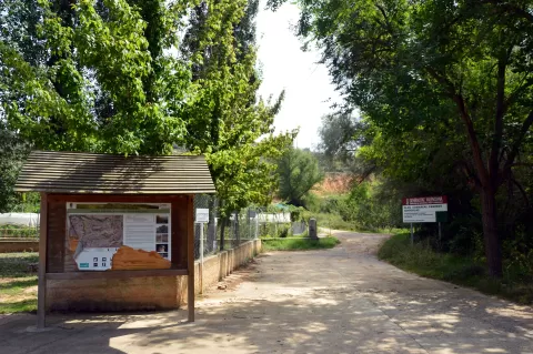 Fuente Bellido
Valencia
-
30
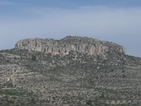 El Molón
Camporrobles (Valencia)
And 8 more on the map.
Frequently asked questions
Which hiking trails in Valencia are most worth visiting?
According to fotoMap's score, it's La Albufera Natural Park (Valencia): A large lake surrounded by rice fields 10 km from Valencia, cut off from the sea by the Devesa del Saler, with sunsets over the water. Followed by Sierra Martés and Marjal de Pego-Oliva Natural Park.
What's the best time to take photos in Valencia?
Golden hour, with low, warm light: today, 21 November, 7:52 – 8:52 in the morning and 16:43 – 17:43 in the evening. For a deep blue sky, blue hour: 7:23 – 7:52 in the morning and 17:43 – 18:12 in the evening. Each place shows the times for its exact location.