 See all 6 photos
Upload your photo
Parque natural de la Sierra Helada
No reviews yet
Do you like this place? Be the first to vote
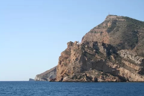
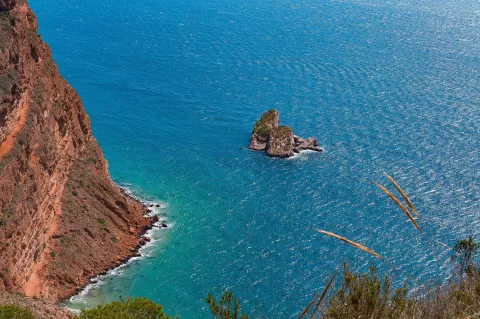
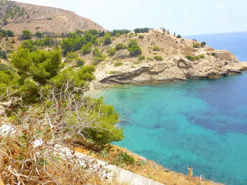
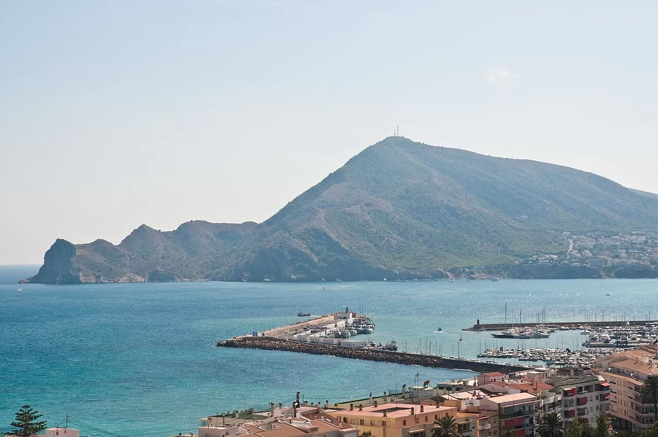
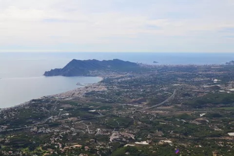
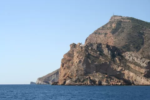
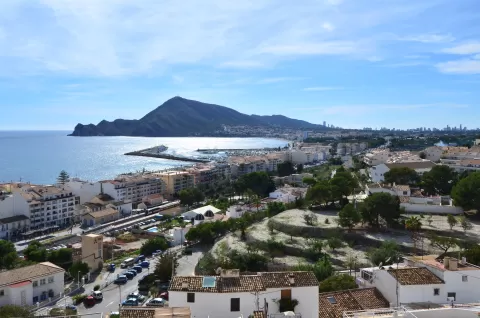
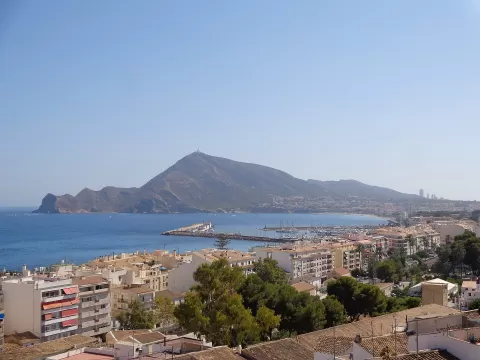
The Serra Gelada has been a nature park since 2005 and separates the bays of Benidorm and Altea over some 6 kilometres. Its south-eastern flank is a rugged coast with cliffs over 300 metres high, while the north-western side slopes gently down. The highest point is the Alto del Gobernador, at 430 metres. It holds a fossil hanging dune, and offshore lie the islets of Mitjana and la Olla and the island of Benidorm.
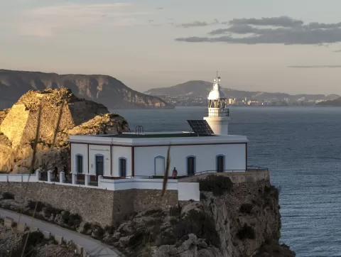
The most popular route starts from the l'Albir information point, in l'Alfàs del Pi, and reaches Punta Bombarda and its lighthouse, passing old ochre mines. From Benidorm, a surfaced track leads to the 16th-century Torre de les Caletes.
The lighthouse path looks out over the cliffs above the sea. On the rock faces, alternating layers of sandstone and marl of different hardness draw bands across the rock.
What Parque natural de la Sierra Helada has to offer
More hiking trails in Alicante
Best time to photograph Parque natural de la Sierra Helada today, 22 November
- Sunrise7:49 – 8:49golden hour
- Sunset16:43 – 17:43golden hour
- Blue hour17:43 – 18:11at dusk
Golden hour gives the most beautiful light: warm, soft and with long shadows.
Hashtags for your photos of Parque natural de la Sierra Helada
Upload your photo with #fotoMap and help more people discover this spot. The one with the most votes becomes the cover photo.
Reviews of Parque natural de la Sierra Helada
Nobody has said what it's like yet. Have you been? Be the first to tell us.
Write a review