Hiking trails in Murcia
39 places of this kind in Murcia, ranked by their fotoMap score: what people who've been there like most, with recent votes counting more.
Updated on
-
1
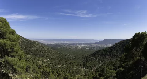 Sierra Espuña
Murcia
-
2
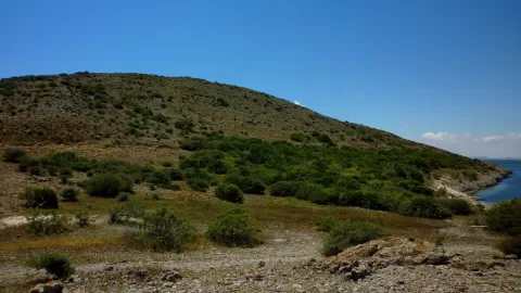 Ciervo Island
Murcia
The southernmost island of the Mar Menor, formed by two old volcanic cones off the southern end of La Manga.
-
3
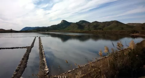 Calblanque, Monte de las Cenizas y Peña del Águila
Murcia
-
4
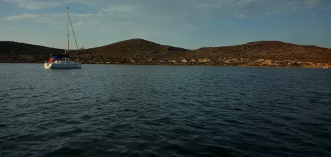 Perdiguera Island
Murcia
A 26-hectare volcanic island in the middle of the Mar Menor, with two eroded cones and the remains of old beach bars.
-
5
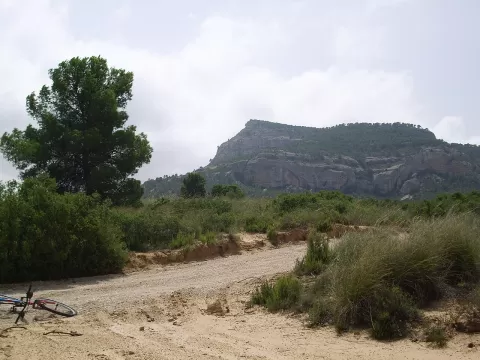 Monte Arabí
Murcia
An isolated 1,068-metre mountain in Yecla, with karst landforms, carved cup marks and rock shelters with cave paintings.
-
6
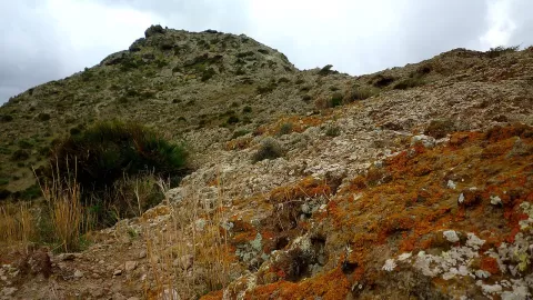 El Carmolí
Cartagena (Murcia)
An eroded 113-metre volcanic cone on the shore of the Mar Menor, facing Perdiguera island, with views over the whole lagoon.
-
7
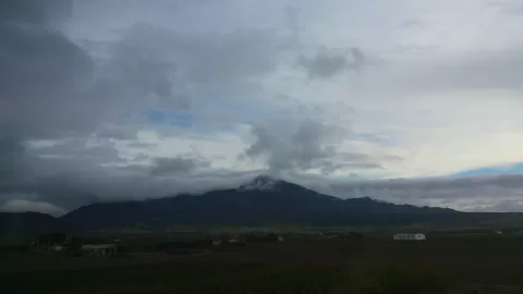 Sierra del Carche
Murcia
-
8
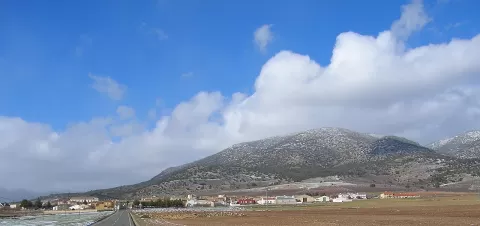 Macizo de Revolcadores
Murcia
The roof of the Region of Murcia: a limestone massif of flat summits in Moratalla rising above 2,000 metres.
-
9
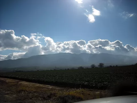 Sierra de Carrascoy
Murcia
-
10
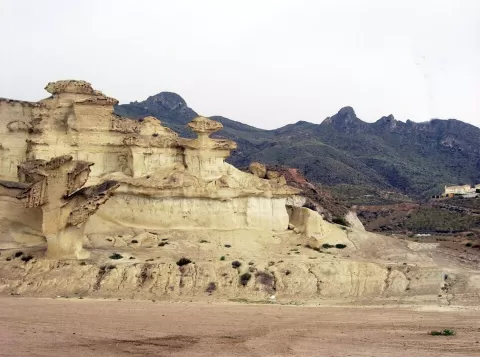 Sierra de las Moreras
Murcia
Coastal range near Mazarrón with cliffs and coves at its foot, and Las Gredas de Bolnuevo, a hill sculpted by the wind.
-
11
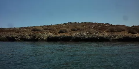 Isla del Sujeto
Murcia
Volcanic islet of 2.4 hectares in the Mar Menor, the lowest and flattest, and the only one with a recognisable crater.
-
12
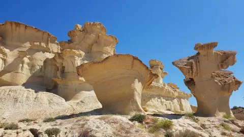 Gredas de Bolnuevo
Murcia
-
13
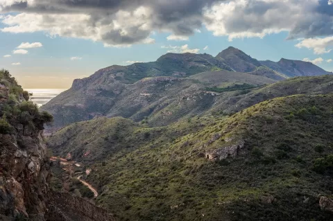 Sierra de la Fausilla
Cartagena (Murcia)
-
14
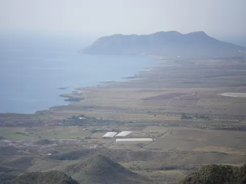 Cabo Cope y Puntas de Calnegre Regional Park
Murcia
-
15
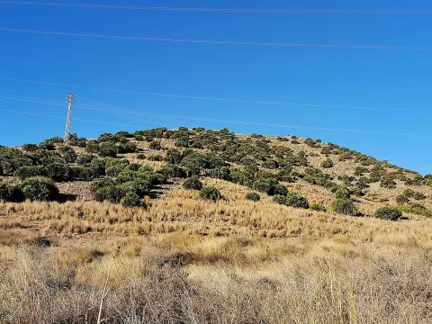 Cabezo Beaza
Cartagena (Murcia)
-
16
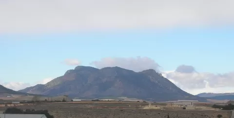 Sierra de Mojantes
Murcia
-
17
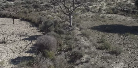 Cabecicos Negros de Fortuna
Fortuna (Murcia)
-
18
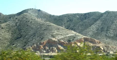 Cabezo Gordo
Murcia
-
19
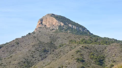 Cabezo de la Fuente
Cartagena (Murcia)
-
20
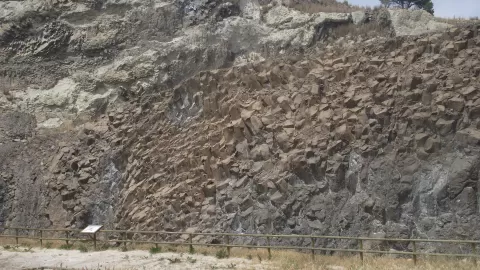 Cerro Negro de Calasparra
Murcia
-
21
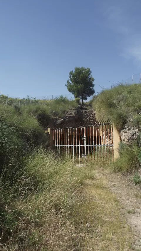 La Celia (volcán)
Murcia
-
22
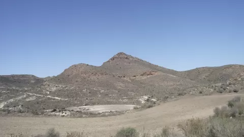 Volcán Barqueros
Murcia
-
23
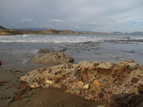 Cuatro Calas
Murcia
-
24
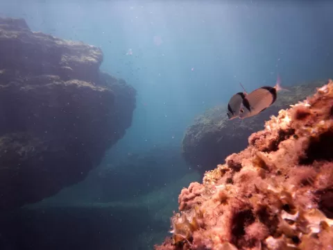 Reserva marina de Cabo de Palos e Islas Hormigas
Murcia
-
25
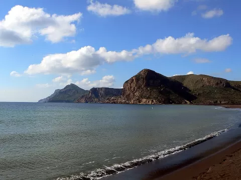 Sierra minera de Cartagena-La Unión
Cartagena (Murcia)
-
26
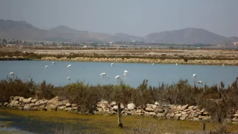 Marchamalo salt flats
Cartagena (Murcia)
-
27
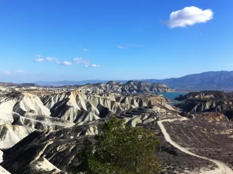 Barrancos de Gebas
Murcia
-
28
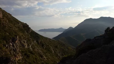 Sierra de la Muela, Cabo Tiñoso y Roldán
Cartagena (Murcia)
-
29
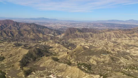 Columbares
Murcia (Murcia)
-
30
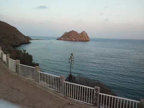 Islas e Islotes del Litoral Mediterráneo
Murcia
And 9 more on the map.
Frequently asked questions
Which hiking trails in Murcia are most worth visiting?
According to fotoMap's score, it's Sierra Espuña (Murcia). Followed by Ciervo Island and Calblanque, Monte de las Cenizas y Peña del Águila.
What's the best time to take photos in Murcia?
Golden hour, with low, warm light: today, 21 November, 7:51 – 8:51 in the morning and 16:49 – 17:49 in the evening. For a deep blue sky, blue hour: 7:23 – 7:51 in the morning and 17:49 – 18:18 in the evening. Each place shows the times for its exact location.