 See all 6 photos
Upload your photo
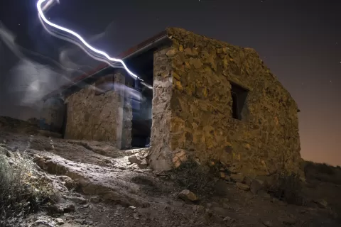
Sierra de Callosa
No reviews yet
Do you like this place? Be the first to vote
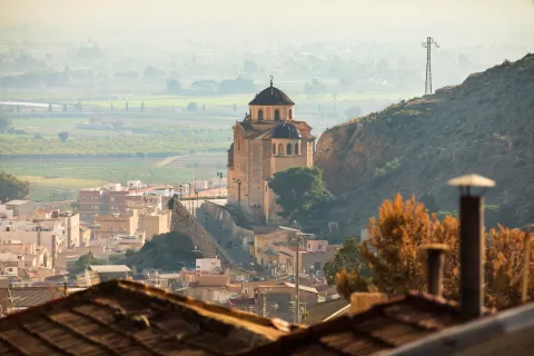
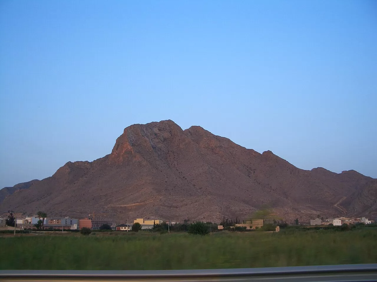
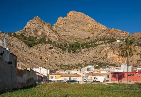
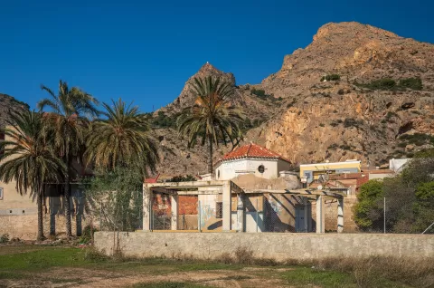
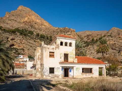
The Sierra de Callosa is a limestone massif which, together with the neighbouring Sierra de Orihuela, rises abruptly above the plain of the Vega del Segura. Its highest point, the Cerro del Águila, is around 572 metres. The terrain is very rugged, with rock walls, deep ravines and steep slopes, in a semi-arid climate.
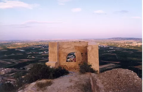
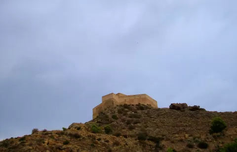
The south-eastern slope forms the La Pilarica-Sierra de Callosa municipal natural site, protected since 2005. Scrub predominates, with almost no trees, and Bonelli's eagles, golden eagles, eagle owls and peregrine falcons live here. Above the town stands the castle of Callosa de Segura, of Islamic origin and dating from the 10th century.
The mountain is the visual landmark of the district: the classic photo captures it whole from the plain, with the bare rock rising above the fields. From the higher parts you can see the whole of the Vega Baja, best late in the day.
What Sierra de Callosa has to offer
More viewpoints in Alicante More hiking trails in Alicante
Best time to photograph Sierra de Callosa today, 21 November
- Sunrise7:50 – 8:50golden hour
- Sunset16:47 – 17:47golden hour
- Blue hour17:47 – 18:16at dusk
At sunrise and sunset, low-angled light brings out the landscape's texture. Arrive 20 minutes early to get a good spot.
Hashtags for your photos of Sierra de Callosa
Upload your photo with #fotoMap and help more people discover this spot. The one with the most votes becomes the cover photo.
Reviews of Sierra de Callosa
Nobody has said what it's like yet. Have you been? Be the first to tell us.
Write a review