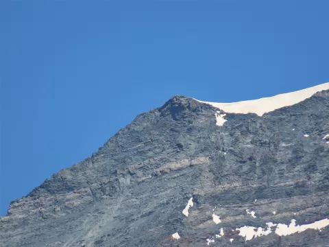
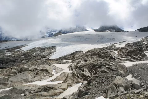
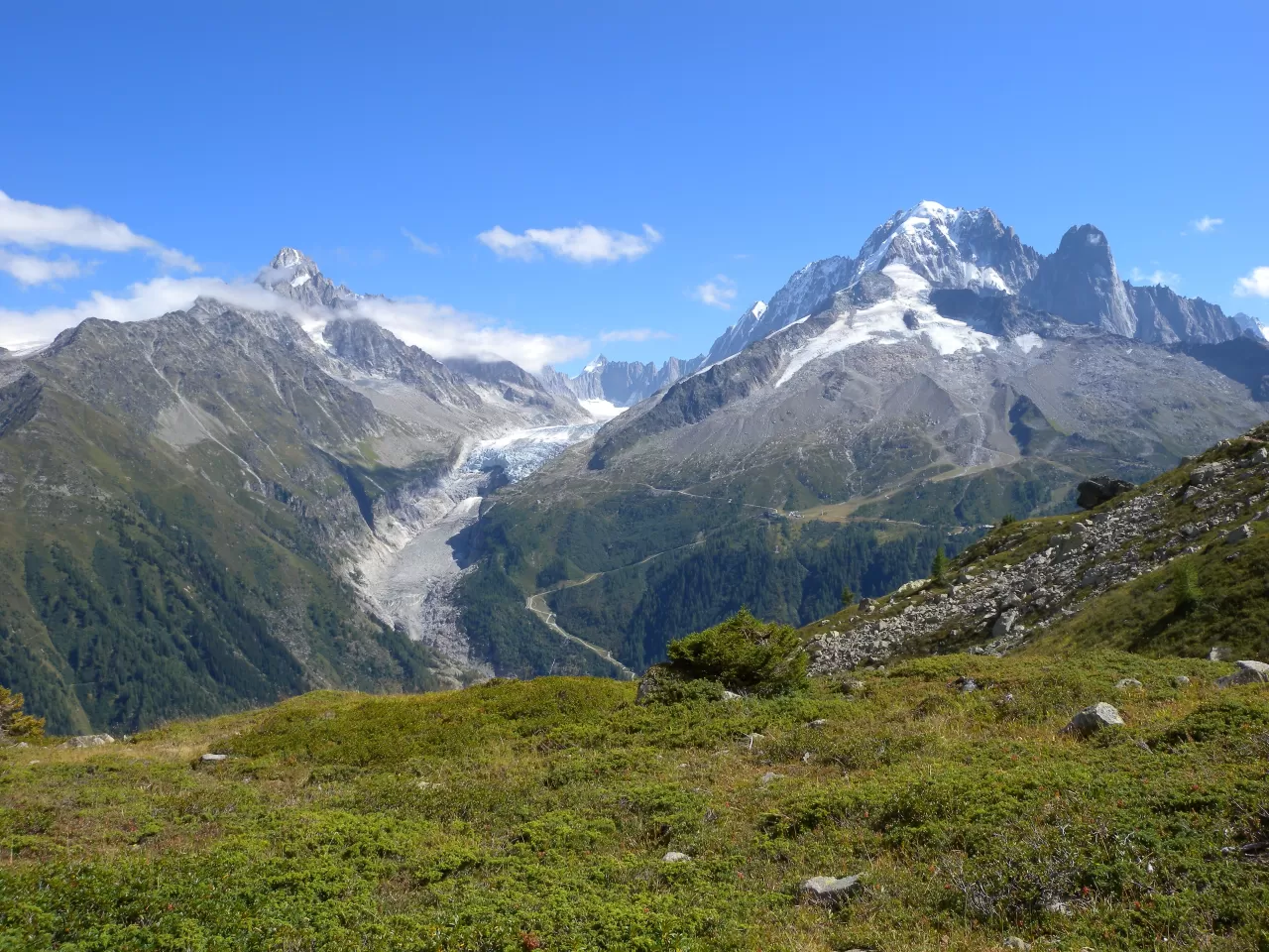
 See all 6 photos
Upload your photo
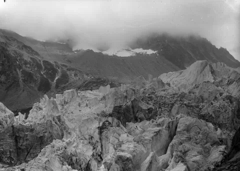
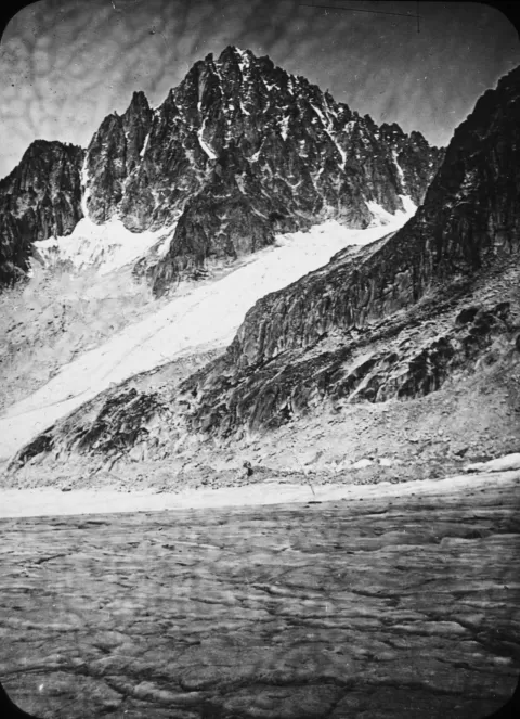
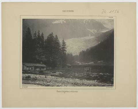
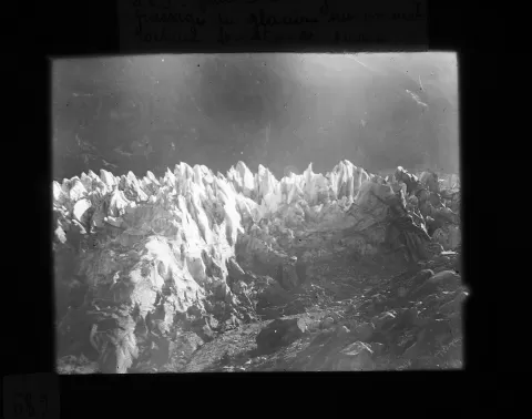
Glaciar de Argentière
No reviews yet
Do you like this place? Be the first to vote
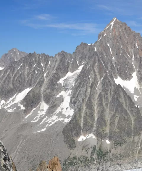
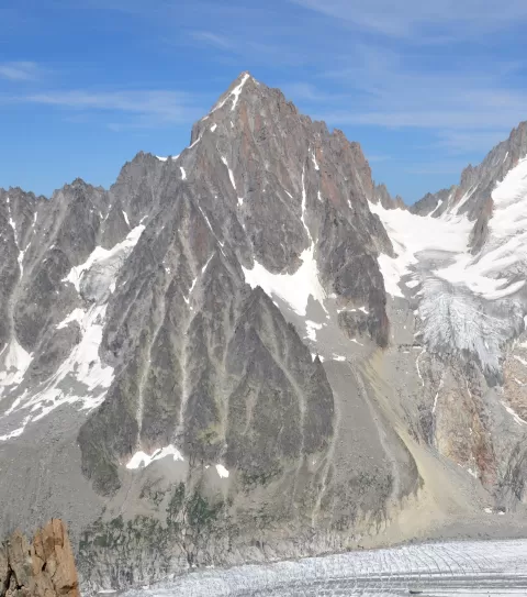
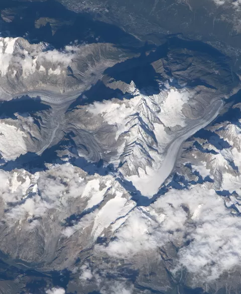
The Argentière Glacier descends through the Mont Blanc massif towards the village of the same name, in Chamonix. In 1960 it was 8.9 km long, and it starts at around 3,400 metres in a cirque fed by Mont Dolent and the Aiguille de Triolet, close to the Swiss and Italian borders.
The easiest way to see it close up is to take the gondola up to Lognan, in the Grands Montets area, and follow an easy path to the viewpoint over the tongue, at about 2,300 metres. In the upper cirque, above 2,700 metres, is the Argentière hut.
Above it rise Les Droites, the Grande Rocheuse and the Aiguille Verte, over 4,000 metres high, whose hanging seracs fall onto the ice. The glacier lost about 1 km between 1870 and 2000, and intakes dug beneath it divert the meltwater to the Émosson dam.
What Glaciar de Argentière has to offer
More viewpoints in Haute-Savoie More hiking trails in Haute-Savoie
Best time to photograph Glaciar de Argentière today, 21 November
- Sunrise7:40 – 8:40golden hour
- Sunset15:55 – 16:55golden hour
- Blue hour16:55 – 17:28at dusk
At sunrise and sunset, low-angled light brings out the landscape's texture. Arrive 20 minutes early to get a good spot.
Hashtags for your photos of Glaciar de Argentière
Upload your photo with #fotoMap and help more people discover this spot. The one with the most votes becomes the cover photo.
Reviews of Glaciar de Argentière
Nobody has said what it's like yet. Have you been? Be the first to tell us.
Write a review