 View larger
Upload your photo
Mont Dolent
No reviews yet
Do you like this place? Be the first to vote
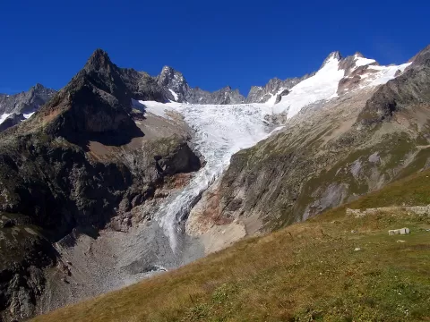
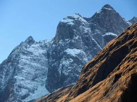
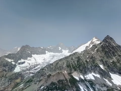
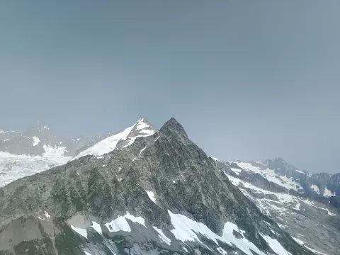
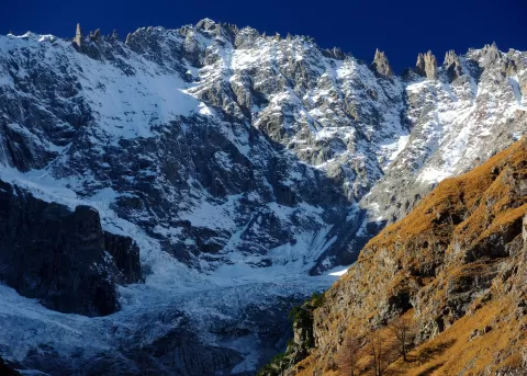
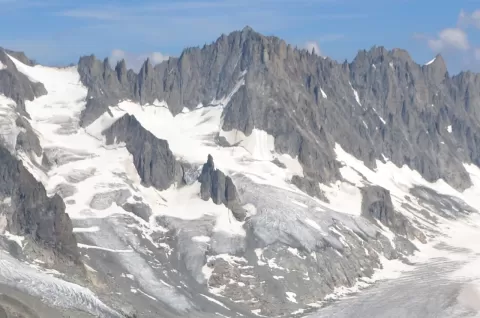
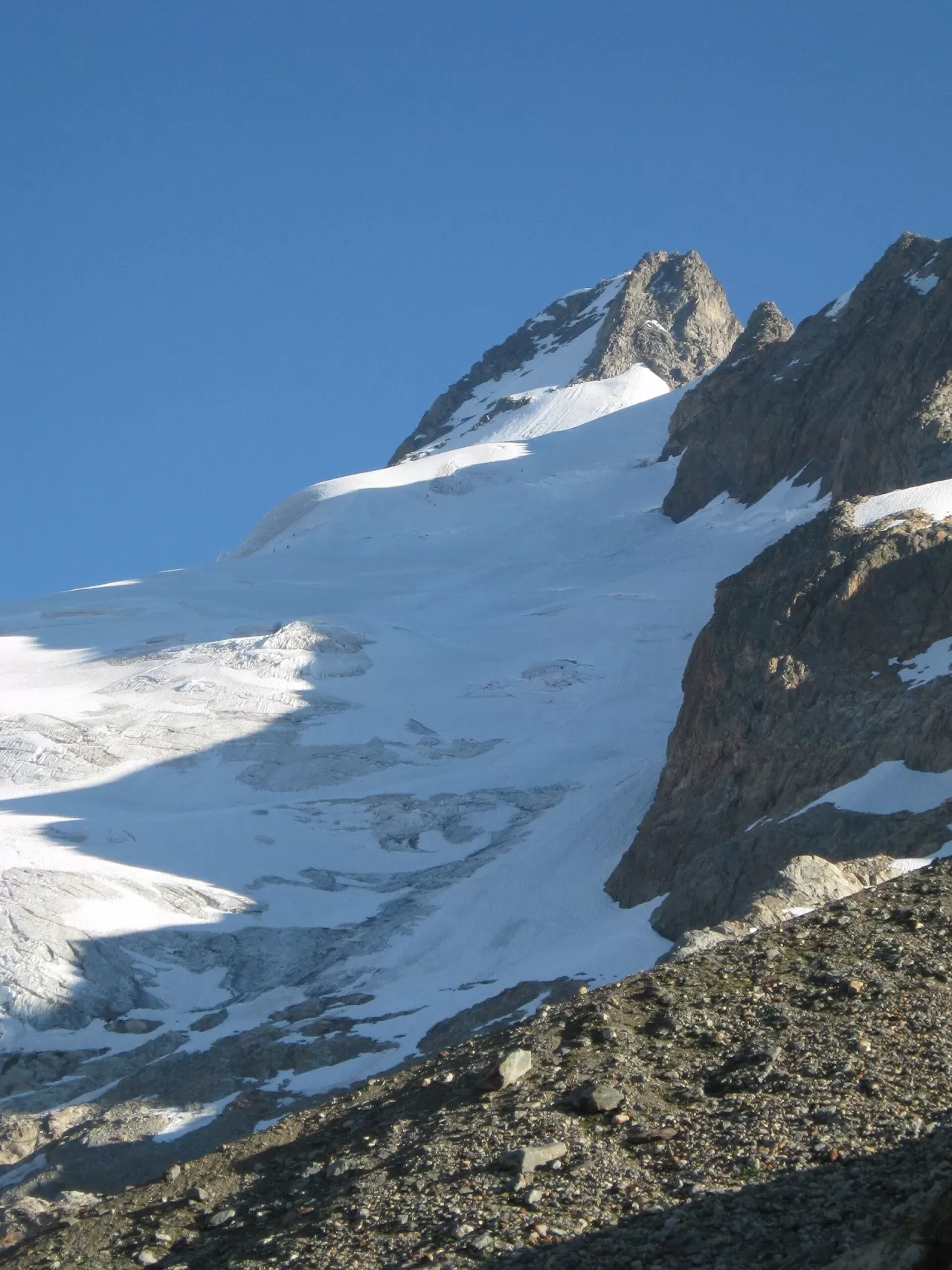
Mont Dolent is an irregular pyramid at the north-eastern end of the Mont Blanc massif, 3,823 metres high according to the French map and 3,819 according to the Swiss and Italian ones. It is considered the tripoint of France, Italy and Switzerland, although for the Swiss and Italians the exact point lies about 150 metres north-west of the summit.
It has four ridges and four faces with snow and ice routes of varying difficulty. The only easy route, graded PD, climbs from the south from the Fiorio bivouac, on the Italian side, via the Pré de Bar glacier and a final exposed section of the south-east ridge, and takes about four hours.
Edward Whymper and A. Reilly, with their guides, made the first ascent on 9 July 1864; Whymper described it as a tiny summit, a cone of snow that could be covered with a hand. In 1954 young people from the Valais placed a statue of the Virgin on the summit.
What Mont Dolent has to offer
More viewpoints in Haute-Savoie More hiking trails in Haute-Savoie
Best time to photograph Mont Dolent today, 21 November
- Sunrise7:40 – 8:40golden hour
- Sunset15:55 – 16:55golden hour
- Blue hour16:55 – 17:27at dusk
At sunrise and sunset, low-angled light brings out the landscape's texture. Arrive 20 minutes early to get a good spot.
Hashtags for your photos of Mont Dolent
Upload your photo with #fotoMap and help more people discover this spot. The one with the most votes becomes the cover photo.
Reviews of Mont Dolent
Nobody has said what it's like yet. Have you been? Be the first to tell us.
Write a review