 See all 6 photos
Upload your photo
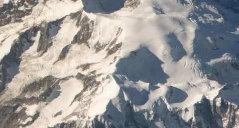
Mont Maudit
No reviews yet
Do you like this place? Be the first to vote
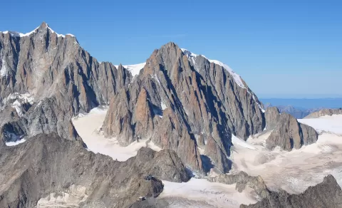
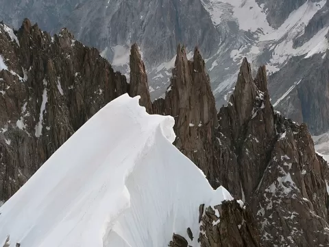
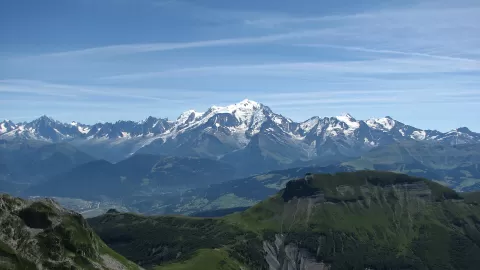
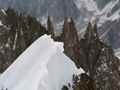
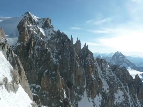
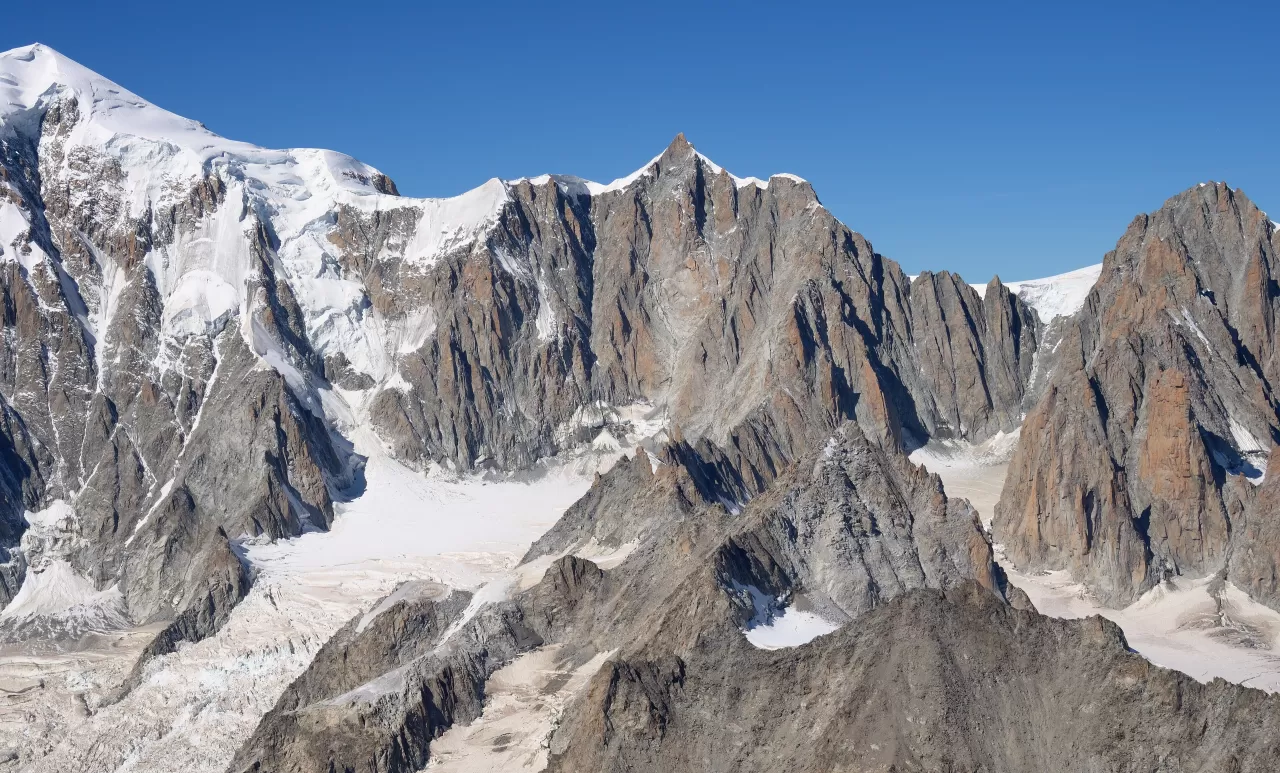
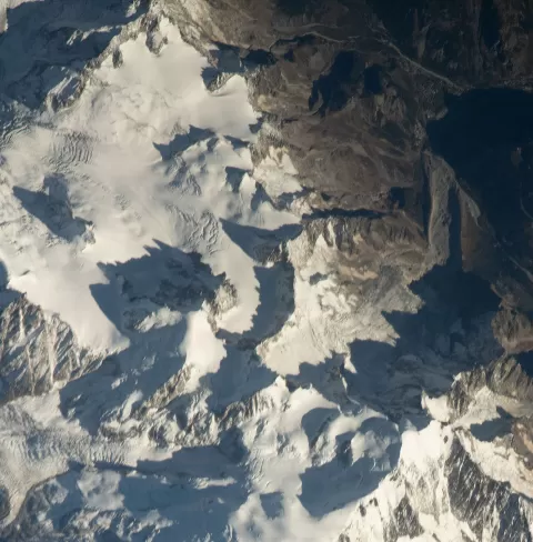
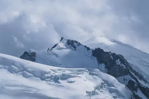
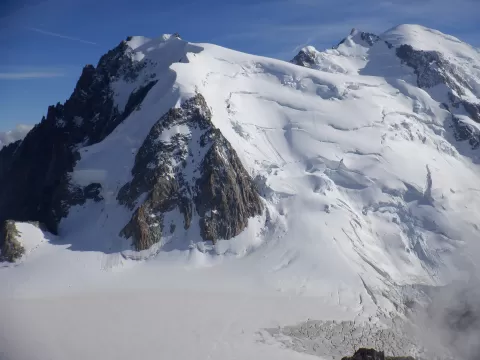
Mont Maudit is a peak in the Mont Blanc massif of 4,465 or 4,468 metres depending on the source, on the border between Haute-Savoie and the Aosta Valley. It lies between Mont Blanc du Tacul and Mont Blanc, in the chain of four-thousanders that climbs towards the roof of the Alps.
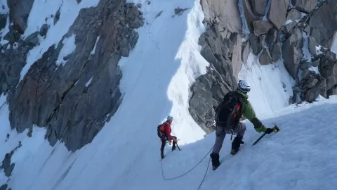
Its col, at about 4,345 metres, is on the Three Monts route, one of the ways up Mont Blanc. The easiest route to its summit, via the north face and graded PD+, starts from the Aiguille du Midi, reached by cable car from Chamonix.
The first ascent was made by Henry Seymour Hoare and William Edward Davidson, with the guides Johann Jaun and Johann von Bergen, on 12 September 1878. Its profile can be seen from Punta Helbronner, on the Italian side.
What Mont Maudit has to offer
More viewpoints in Haute-Savoie More hiking trails in Haute-Savoie
Best time to photograph Mont Maudit today, 21 November
- Sunrise7:40 – 8:40golden hour
- Sunset15:56 – 16:56golden hour
- Blue hour16:56 – 17:28at dusk
At sunrise and sunset, low-angled light brings out the landscape's texture. Arrive 20 minutes early to get a good spot.
Hashtags for your photos of Mont Maudit
Upload your photo with #fotoMap and help more people discover this spot. The one with the most votes becomes the cover photo.
Reviews of Mont Maudit
Nobody has said what it's like yet. Have you been? Be the first to tell us.
Write a review