 See all 6 photos
Upload your photo
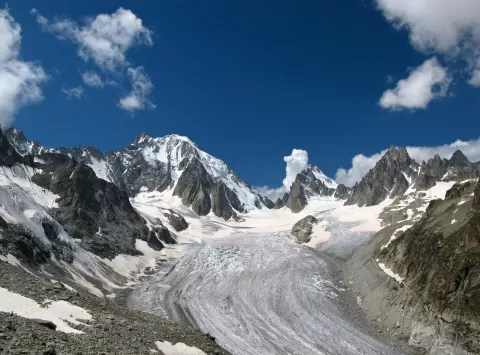
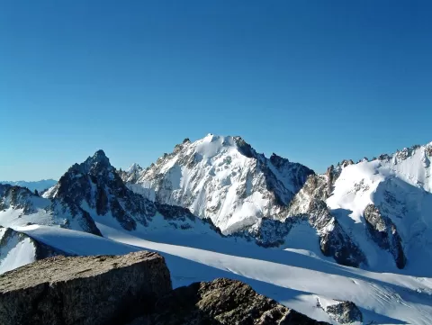
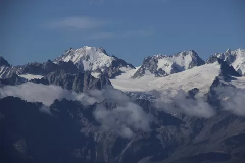
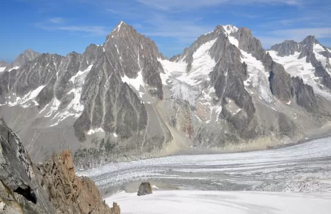
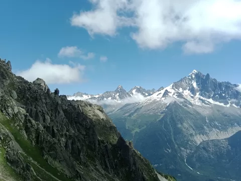
Aiguille d'Argentière
No reviews yet
Do you like this place? Be the first to vote
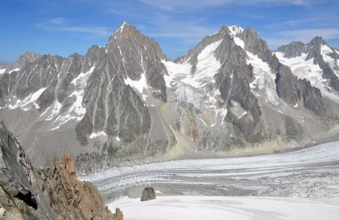
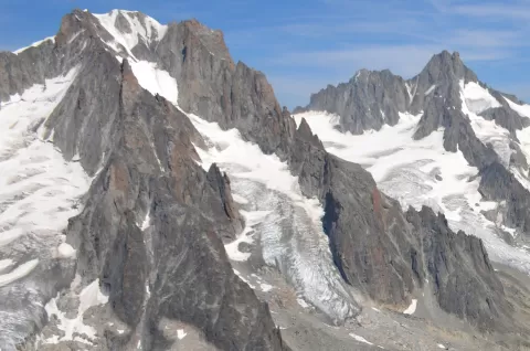
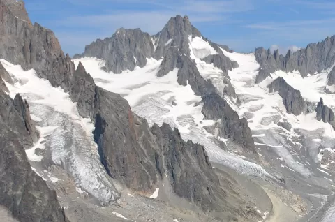
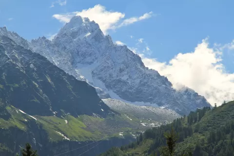
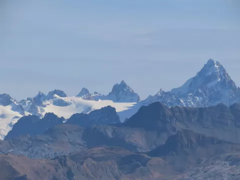
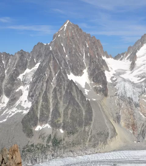
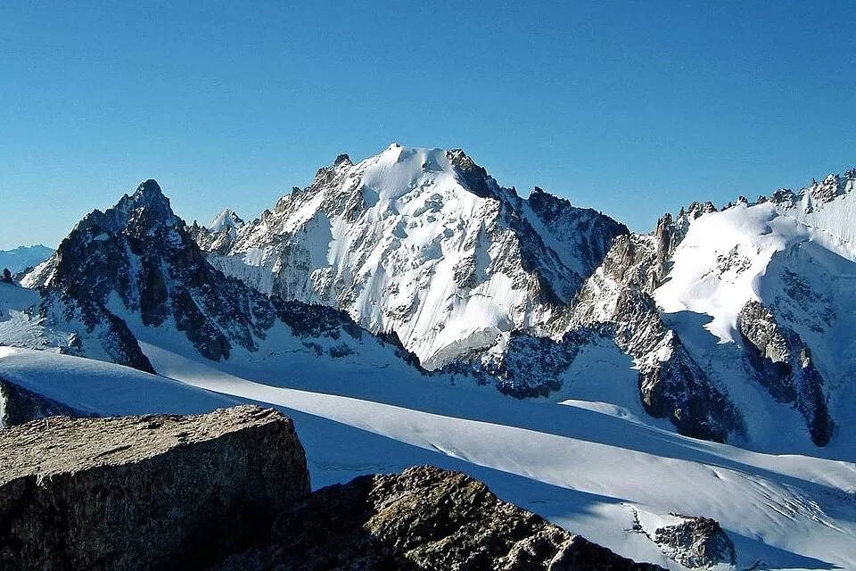
The Aiguille d'Argentière, 3,898 metres high according to the Swiss map and 3,900 according to the French, rises on the border between Haute-Savoie and the canton of Valais, of which it is the highest point. To the north-east it drops to the Saleinaz glacier, about 6 km long, and to the south-west to the Milieu glacier, wedged between two high ridges.
The Argentière refuge is reached by the Grands Montets cable car and a crossing of the Argentière glacier. The normal route climbs the Milieu glacier, between the Straton and du Jardin ridges, almost always on skis, and is graded PD+; the north face is a classic 650-metre route graded D.
Edward Whymper and Anthony Adams Reilly, with the guides Michel Croz, Michel-Clément Payot and H. Charlet, made the first ascent on 15 July 1864 via the west face and the north-west ridge. The Whymper Couloir, the historic route, is no longer the usual one.
What Aiguille d'Argentière has to offer
More viewpoints in Haute-Savoie More hiking trails in Haute-Savoie
Best time to photograph Aiguille d'Argentière today, 21 November
- Sunrise7:40 – 8:40golden hour
- Sunset15:55 – 16:55golden hour
- Blue hour16:55 – 17:27at dusk
At sunrise and sunset, low-angled light brings out the landscape's texture. Arrive 20 minutes early to get a good spot.
Hashtags for your photos of Aiguille d'Argentière
Upload your photo with #fotoMap and help more people discover this spot. The one with the most votes becomes the cover photo.
Reviews of Aiguille d'Argentière
Nobody has said what it's like yet. Have you been? Be the first to tell us.
Write a review