 See all 6 photos
Upload your photo
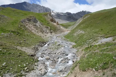
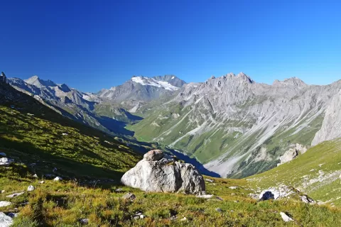
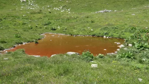
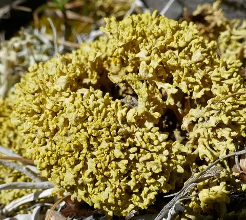
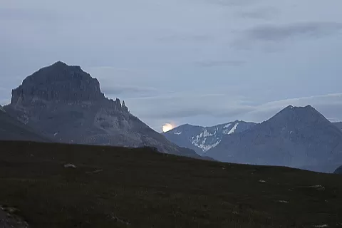
Vanoise National Park
No reviews yet
Do you like this place? Be the first to vote
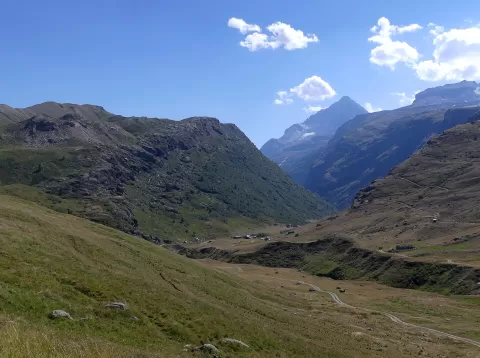
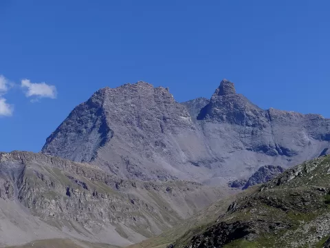
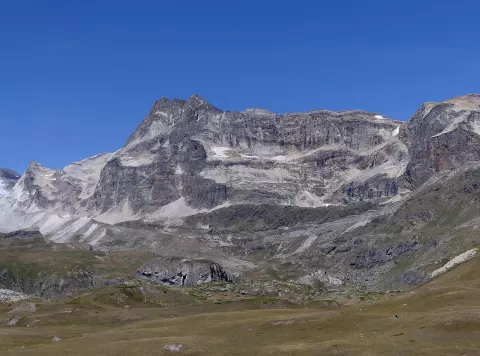
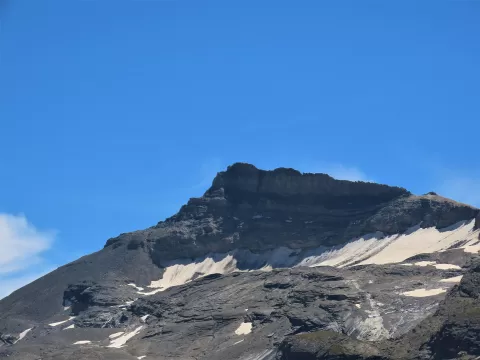
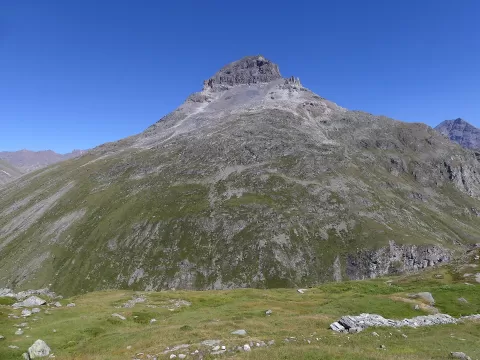
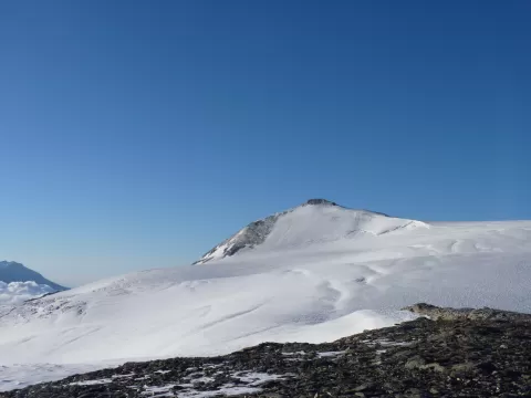
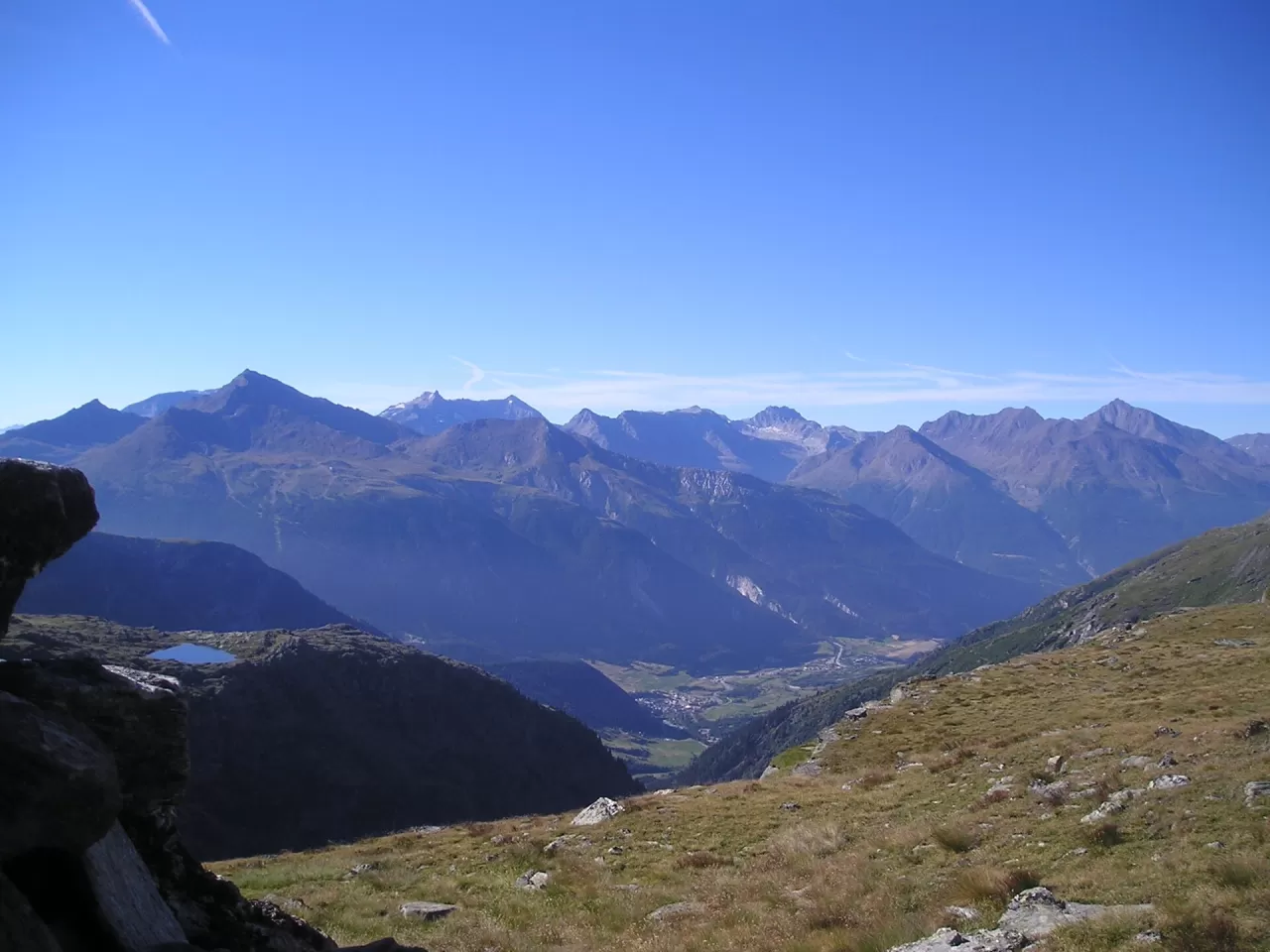
The Vanoise National Park, created in 1963, was the first national park in France. Its core area covers about 535 km² in Savoy, between the Tarentaise and Maurienne valleys, and its highest summit is the Grande Casse, at 3,855 metres, followed by Mont Pourri, at 3,779.
Pralognan-la-Vanoise, in the Doron valley, is one of its gateways. Huts such as Plaisance or Entre-Deux-Eaux allow treks of several days, and to the east it borders the Italian Gran Paradiso park for about 14 km, twinned with it since 1972.
The park was created to protect the ibex, which was on the verge of disappearing from the area; today about 2,100 of them live here, the most characteristic animal of its high pastures.
What Vanoise National Park has to offer
More viewpoints in Savoie More hiking trails in Savoie
Best time to photograph Vanoise National Park today, 21 November
- Sunrise7:39 – 8:39golden hour
- Sunset15:57 – 16:57golden hour
- Blue hour16:57 – 17:30at dusk
At sunrise and sunset, low-angled light brings out the landscape's texture. Arrive 20 minutes early to get a good spot.
Hashtags for your photos of Vanoise National Park
Upload your photo with #fotoMap and help more people discover this spot. The one with the most votes becomes the cover photo.
Reviews of Vanoise National Park
Nobody has said what it's like yet. Have you been? Be the first to tell us.
Write a review