Hiking trails in Las Palmas
54 places of this kind in Las Palmas, ranked by their fotoMap score: what people who've been there like most, with recent votes counting more.
Updated on
-
1
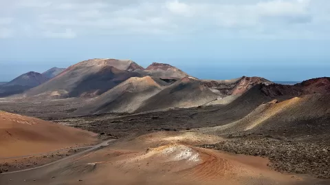 Timanfaya National Park
Las Palmas
More than 25 volcanoes and lava fields in south-west Lanzarote, almost all born in the eruptions of 1730 to 1736.
-
2
 Lobos Island
La Oliva (Las Palmas)
-
3
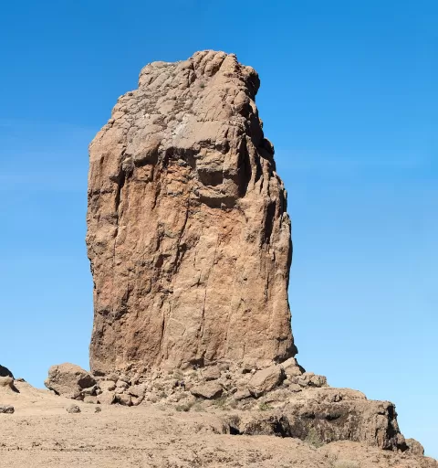 Roque Nublo
Las Palmas
An 80-metre volcanic monolith on the summit of Gran Canaria.
-
4
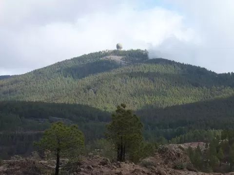 Pico de las Nieves
Las Palmas
A 1,949-metre summit in the centre of Gran Canaria, with a viewpoint looking out to Roque Nublo and, on clear days, Teide.
-
5
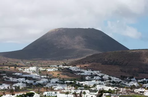 Volcán de La Corona
Las Palmas
609-metre volcanic cone beside Ye, the highest in northern Lanzarote, with a crater you can climb up to on foot through vineyards.
-
6
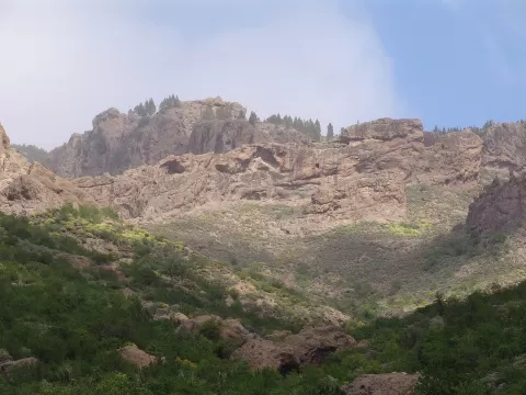 Tamadaba Natural Park
Las Palmas
Canary pine forest above the cliffs of north-western Gran Canaria, with Teide peeking out across the sea.
-
7
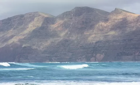 Famara
Haría (Las Palmas)
Volcanic cliff over 20 km long that drops hundreds of metres onto Famara beach, in north-western Lanzarote.
-
8
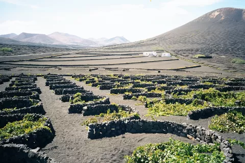 La Geria
Las Palmas
Slope of black volcanic ash dotted with pits and crescent-shaped stone walls, where Lanzarote's Malvasía vines grow.
-
9
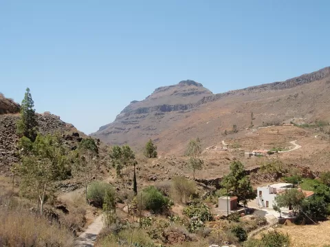 Pilancones Natural Park
Las Palmas
Open Canary pine forest in southern Gran Canaria, among deep ravines and ridges of stacked volcanic lava flows.
-
10
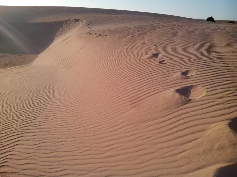 Corralejo Natural Park
La Oliva (Las Palmas)
The largest dune field in the Canary Islands: white shell sand between Corralejo and Montaña Roja, facing Lobos island.
-
11
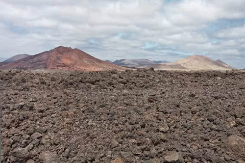 Los Volcanes Natural Park
Tinajo (Las Palmas)
A sea of lava and lapilli in western Lanzarote, next to Timanfaya, with Caldera Blanca, the island's widest crater, open to walkers.
-
12
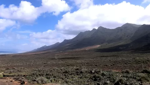 Pico de la Zarza
Las Palmas
The roof of Fuerteventura, 807 metres above the Jandía peninsula, with the wild Cofete coast at the foot of its north face.
-
13
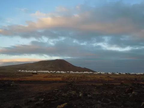 Montaña Roja
Yaiza (Las Palmas)
Volcanic crater above Playa Blanca, the westernmost on Lanzarote, with views from the rim to Papagayo and Fuerteventura.
-
14
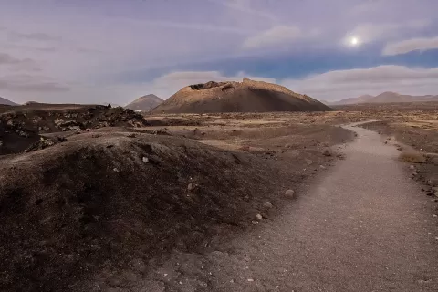 Montaña del Cuervo
Tinajo (Las Palmas)
Volcano from the 1730 eruption in Tinajo, Lanzarote, with a crater you can walk into on a short, easy path.
-
15
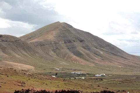 Monte Hacha Grande
Yaiza (Las Palmas)
562-metre summit of the Los Ajaches massif, Lanzarote's oldest volcano, with views of Papagayo and Fuerteventura.
-
16
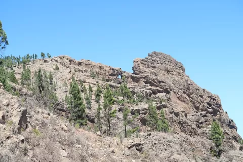 Morro de la Agujereada
Las Palmas
Highest point of Gran Canaria at 1,956 metres, a rocky promontory beside the Pico de las Nieves, on the rim of the Tirajana caldera.
-
17
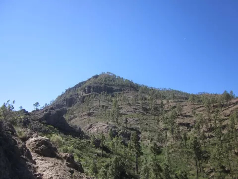 Montaña de Tauro
Mogán (Las Palmas)
-
18
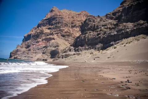 Reserva natural especial de Güigüi
La Aldea de San Nicolás (Las Palmas)
-
19
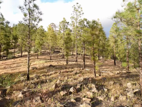 Inagua
Las Palmas
-
20
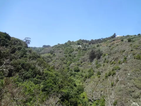 Reserva Natural Integral de Barranco Oscuro
Las Palmas
-
21
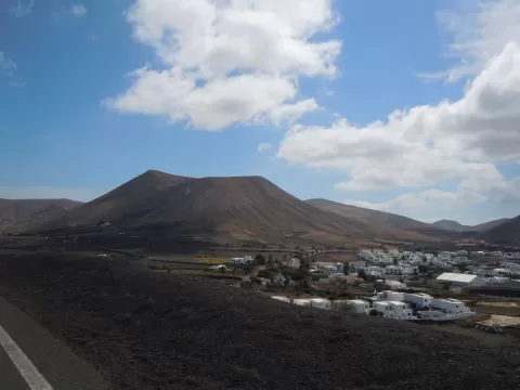 Caldera Riscada
Yaiza (Las Palmas)
-
22
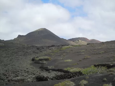 Pico Partido
Tinajo (Las Palmas)
-
23
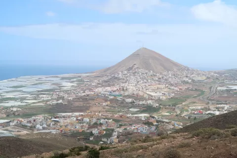 Montaña de Gáldar
Las Palmas
-
24
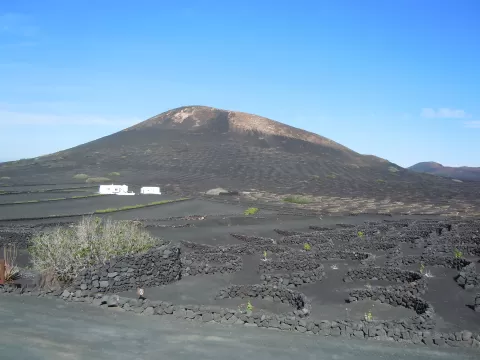 Montaña Diama
Las Palmas
-
25
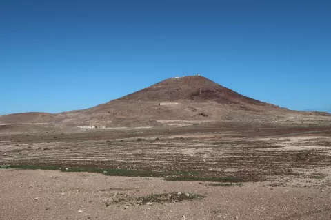 Montaña de Arinaga
Agüimes (Las Palmas)
-
26
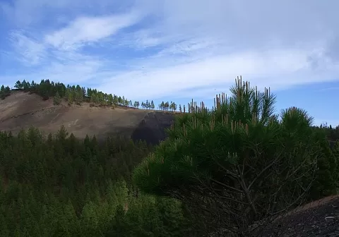 Montañón Negro
Moya (Las Palmas)
-
27
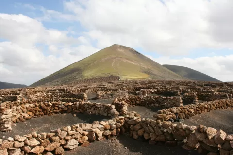 Guardilama
Tías (Las Palmas)
-
28
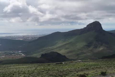 Roque Aguayro
Agüimes (Las Palmas)
-
29
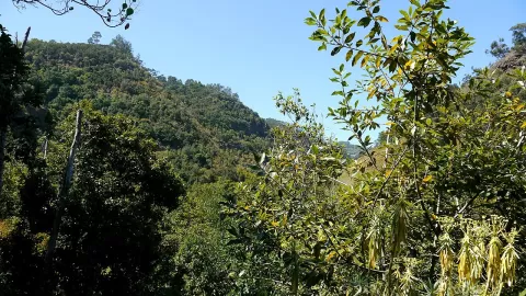 Los Tilos de Moya
Moya (Las Palmas)
-
30
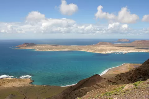 Natural Park of the Chinijo Archipelago
Las Palmas
And 24 more on the map.
Frequently asked questions
Which hiking trails in Las Palmas are most worth visiting?
According to fotoMap's score, it's Timanfaya National Park (Las Palmas): More than 25 volcanoes and lava fields in south-west Lanzarote, almost all born in the eruptions of 1730 to 1736. Followed by Lobos Island and Roque Nublo.
What's the best time to take photos in Las Palmas?
Golden hour, with low, warm light: today, 21 November, 7:25 – 8:25 in the morning and 17:03 – 18:03 in the evening. For a deep blue sky, blue hour: 7:00 – 7:25 in the morning and 18:03 – 18:28 in the evening. Each place shows the times for its exact location.