 See all 6 photos
Upload your photo
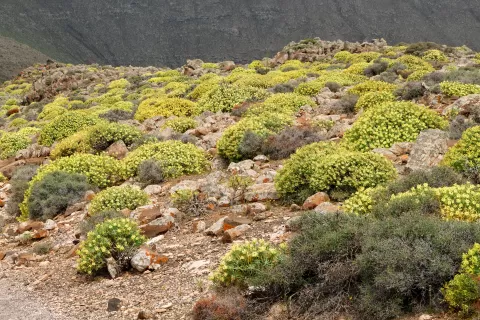
Pico de la Zarza
No reviews yet
Do you like this place? Be the first to vote
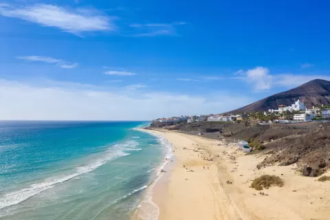
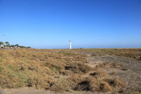
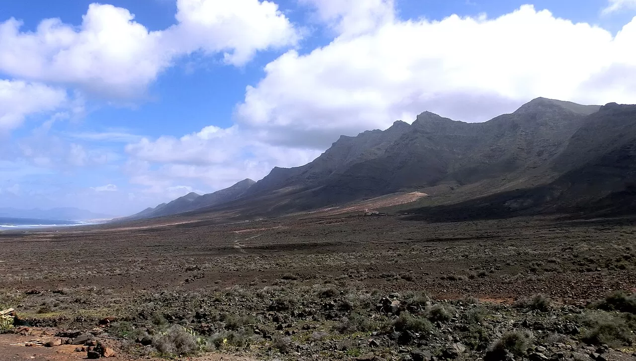
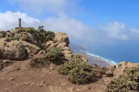
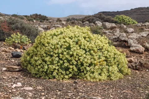
Pico de la Zarza, or Pico de Jandía, is the highest mountain in Fuerteventura: 807 metres according to the most widely cited figure. It is in the municipality of Pájara, within the Jandía Natural Park, and was formed in the Miocene by basalt flows. Its name comes from the blackberry bramble (zarzamora), which on the island grows only on the summits of Jandía. On the northern slopes there are remnants of dry monteverde (laurel forest), with laurel, heather and mocán.
You walk up from the centre of Morro Jable on the signposted PR-FV 54 trail, which passes through the Vinamar ravine and plain. It is about 8 or 9 kilometres each way and nearly 800 metres of ascent: allow between four and six hours there and back.
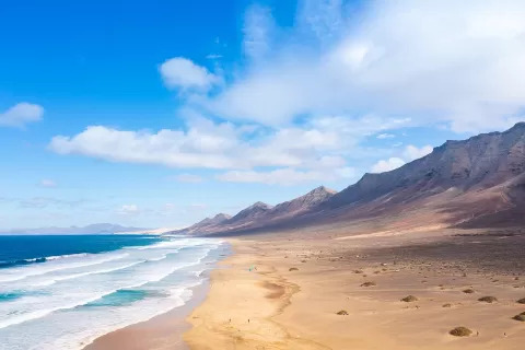
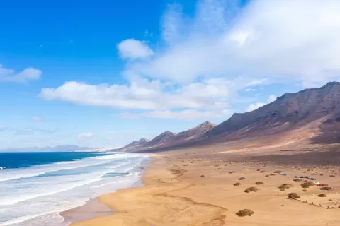
The summit is a viewpoint over the Cofete coast and the mountains of Jandía. Early morning or evening light picks out the ravines; it is best to set off early to avoid the midday heat.
What Pico de la Zarza has to offer
More viewpoints in Las Palmas More hiking trails in Las Palmas
Best time to photograph Pico de la Zarza today, 21 November
- Sunrise7:23 – 8:23golden hour
- Sunset17:02 – 18:02golden hour
- Blue hour18:02 – 18:27at dusk
At sunrise and sunset, low-angled light brings out the landscape's texture. Arrive 20 minutes early to get a good spot.
Hashtags for your photos of Pico de la Zarza
Upload your photo with #fotoMap and help more people discover this spot. The one with the most votes becomes the cover photo.
Reviews of Pico de la Zarza
Nobody has said what it's like yet. Have you been? Be the first to tell us.
Write a review