Hiking trails in Málaga
64 places of this kind in Málaga, ranked by their fotoMap score: what people who've been there like most, with recent votes counting more.
Updated on
-
1
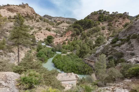 Caminito del Rey
Málaga
Walkways hanging in the Gaitanes Gorge, a hundred metres above the river.
-
2
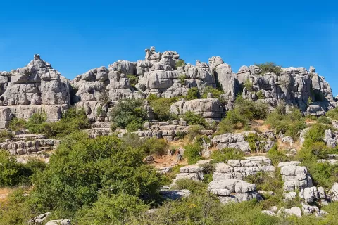 El Torcal de Antequera
Málaga
A karst landscape of rocks stacked up like piles of plates.
-
3
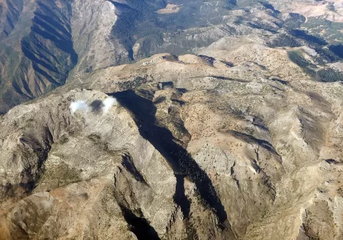 Sierra de las Nieves National Park
Málaga
A national park in the Serranía de Ronda with the world's largest area of Spanish fir and peaks of almost 2,000 metres.
-
4
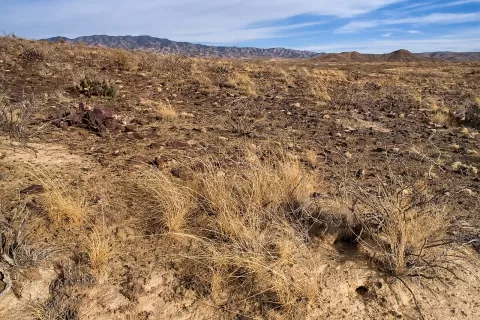 Sierra Blanca
Málaga
-
5
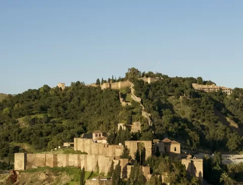 Gibralfaro
Málaga
-
6
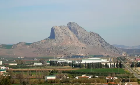 Peña de los Enamorados
Málaga
874-metre limestone crag in the Antequera plain shaped like a face lying down, aligned with the Menga dolmen and a World Heritage Site.
-
7
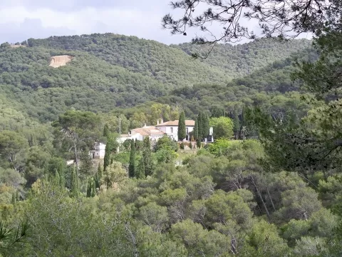 Montes de Málaga Natural Park
Málaga
Pine forest of almost 5,000 hectares just north of Málaga, with viewpoints over the city, the bay and the Guadalmedina valley.
-
8
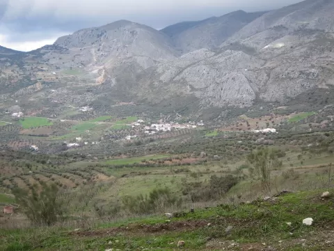 Sierra de Alhama
Málaga
Range between Málaga and Granada that peaks at La Torca, 1,500 metres, and opens at the Boquete de Zafarraya pass.
-
9
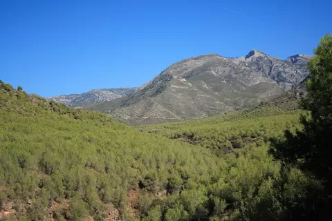 Sierras de Tejeda, Almijara y Alhama Natural Park
Málaga
White marble ranges between Málaga and Granada that rise to 2,066 metres at La Maroma and drop down to the cliffs of Maro.
-
10
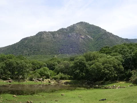 Los Alcornocales Natural Park
Málaga
Spain's largest cork oak forest, between Cádiz and Málaga, with laurel forest in its gullies and El Aljibe as its highest point.
-
11
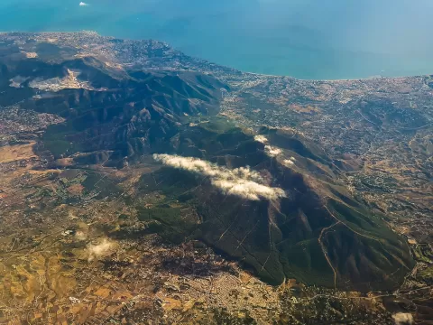 Sierra de Mijas
Málaga
Range of white and bluish marble above the Costa del Sol, with almost vertical slopes, rising to 1,150 metres at Pico de Mijas.
-
12
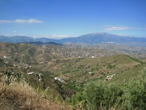 Sierra de Tejeda
Málaga
-
13
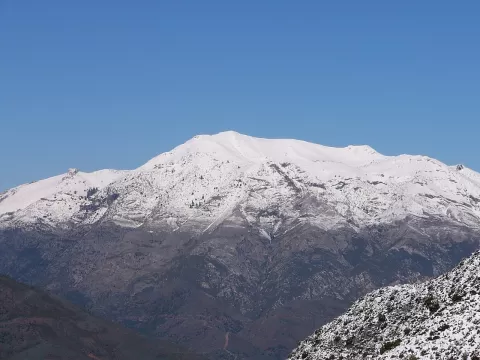 Sierra de las Nieves
Málaga
-
14
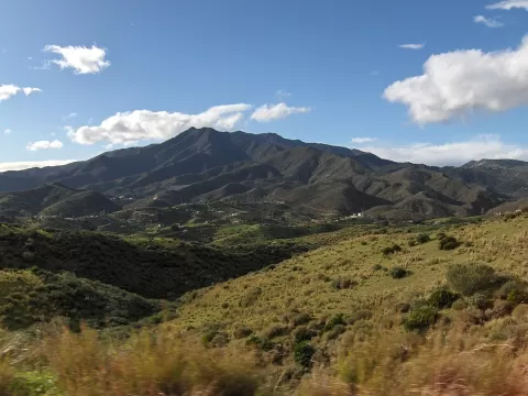 Sierra Alpujata
Málaga
A peridotite range between the Guadalhorce valley and the Costa del Sol, its slopes left almost bare by the nature of its rock.
-
15
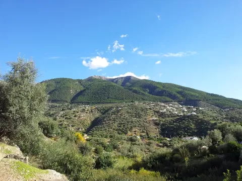 La Maroma
Málaga
A 2,069-metre summit of the Sierra de Tejeda, on the border between Málaga and Granada, visible from both cities.
-
16
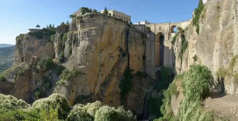 Tajo de Ronda
Ronda (Málaga)
A 100-metre-deep gorge carved by the river Guadalevín through the rock on which Ronda stands, spanned by the Puente Nuevo.
-
17
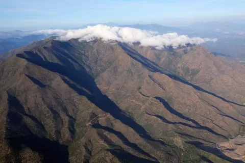 Sierra Bermeja
Málaga
-
18
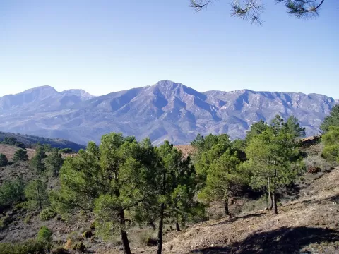 Sierra de Alcaparaín
Málaga
Range of the Serranía de Ronda closing off the Guadalhorce valley to the west, with a flat summit and Mediterranean pine forest.
-
19
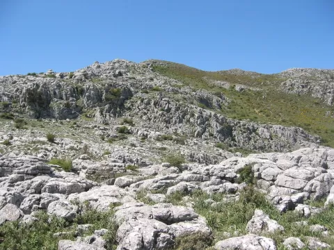 Sierra Blanquilla
Málaga
-
20
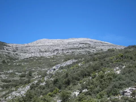 Navachica
Málaga
-
21
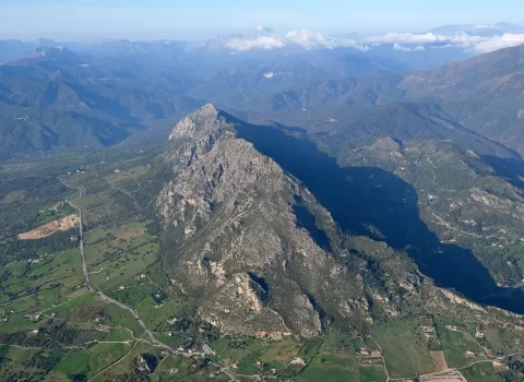 Sierra Crestellina
Málaga
-
22
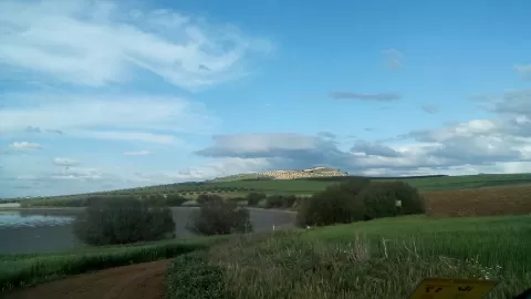 Reserva natural Lagunas de Campillos
Málaga
-
23
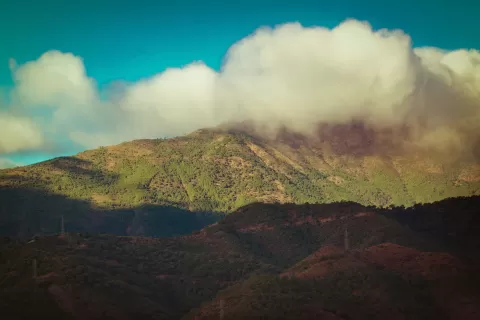 Sierra Real
Málaga
-
24
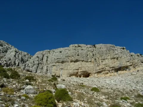 Sierra de Huma
Málaga
-
25
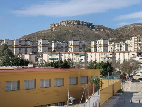 Monte Coronado
Málaga
-
26
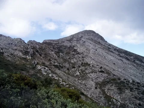 Pico del Grajo
Málaga
-
27
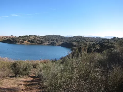 Reserva natural Lagunas de Archidona
Málaga
-
28
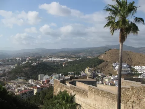 Monte Victoria
Málaga
-
29
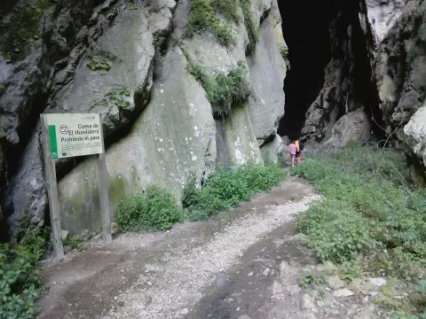 Cueva de El Hundidero
Montejaque (Málaga)
-
30
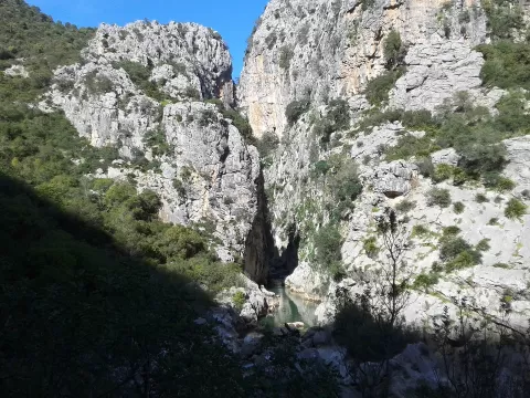 Cañón de las Buitreras
Málaga
And 34 more on the map.
Frequently asked questions
Which hiking trails in Málaga are most worth visiting?
According to fotoMap's score, it's Caminito del Rey (Málaga): Walkways hanging in the Gaitanes Gorge, a hundred metres above the river. Followed by El Torcal de Antequera and Sierra de las Nieves National Park.
What's the best time to take photos in Málaga?
Golden hour, with low, warm light: today, 21 November, 8:02 – 9:02 in the morning and 17:05 – 18:05 in the evening. For a deep blue sky, blue hour: 7:34 – 8:02 in the morning and 18:05 – 18:33 in the evening. Each place shows the times for its exact location.