Hiking trails in Granada
33 places of this kind in Granada, ranked by their fotoMap score: what people who've been there like most, with recent votes counting more.
Updated on
-
1
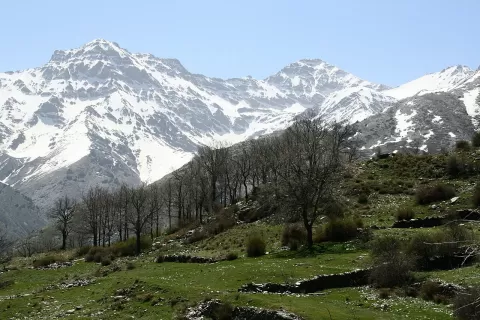 Sierra Nevada National and Natural Park
Granada
The highest mountains on the peninsula, between Granada and Almería, with Mulhacén, Iberian ibex and some sixty plants found nowhere else.
-
2
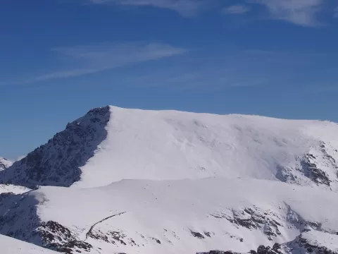 Mulhacén
Güéjar Sierra (Granada)
The roof of the Iberian Peninsula, 3,479 metres in Sierra Nevada, with a gentle south face and sheer walls to the north.
-
3
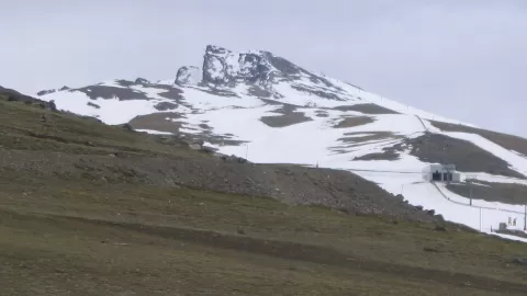 Pico Veleta
Granada
Spain's fourth-highest summit, 3,398 metres in Sierra Nevada, with a panorama that on clear days stretches from Sierra Morena to the Mediterranean.
-
4
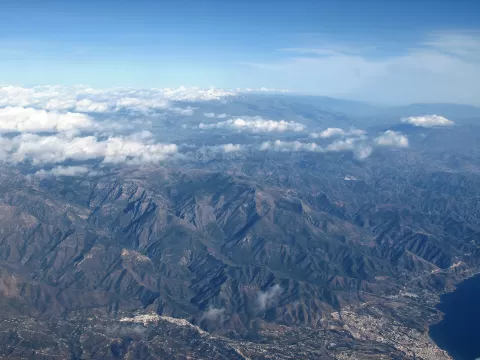 Sierra de Almijara
Granada
-
5
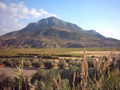 Cerro Jabalcón
Granada
Isolated limestone hill of almost 1,500 metres in the middle of the Granada high plateau, with the Negratín reservoir below and a hermitage on top.
-
6
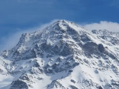 Pico Alcazaba
Granada
Sierra Nevada's third-highest summit, at 3,365 metres, the most remote in the range, rising above the lakes and the source of the Genil.
-
7
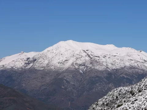 Torrecilla
Granada
The highest summit of the Sierra de las Nieves, 1,919 metres above Tolox, with the Málaga coast and the Serranía de Ronda in view.
-
8
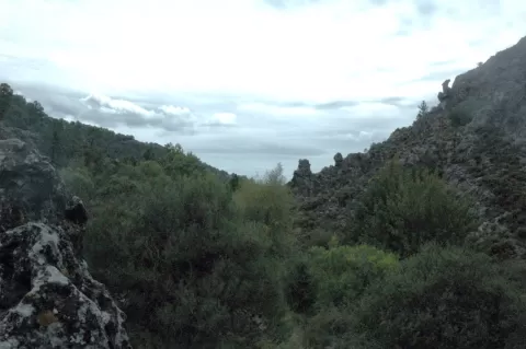 Sierra de Huétor Natural Park
Granada
Range of pine woods, holm oaks and limestone north-east of Granada, where the Darro and Fardes rise, with views of Sierra Nevada.
-
9
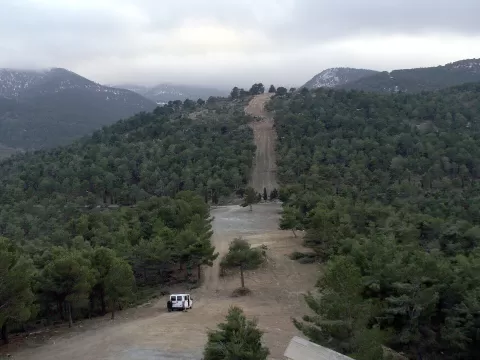 Sierra de Baza
Granada
-
10
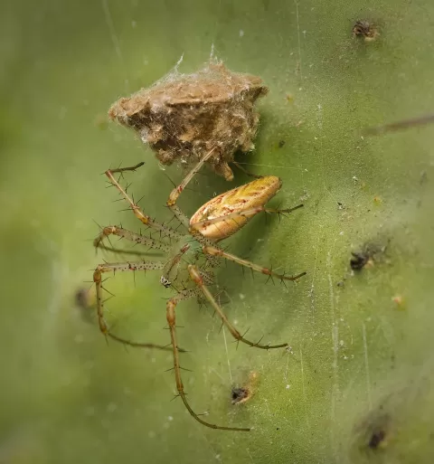 Sierra Arana
Granada
Karst range north-east of Granada peaking at Peña de la Cruz, 2,027 metres, with caves such as Cueva del Agua de Prado Negro.
-
11
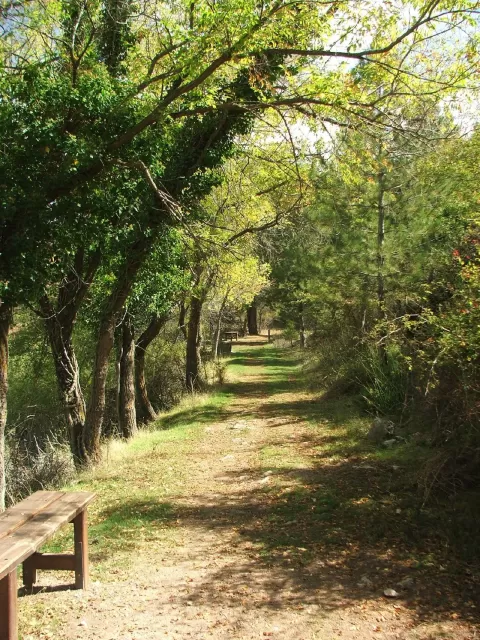 Sierra de Baza Natural Park
Granada
A mountain island above the semi-arid Baza plateau, with pine woods, maple forests and the Calar de Santa Bárbara at 2,269 metres.
-
12
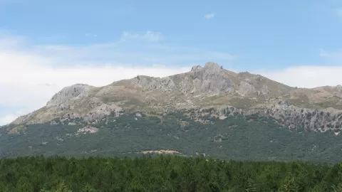 Sierra de Cogollos
Granada
A small limestone range above Cogollos Vega presided over by the 1,668-metre Peñón de la Mata, with views of Granada and Sierra Nevada.
-
13
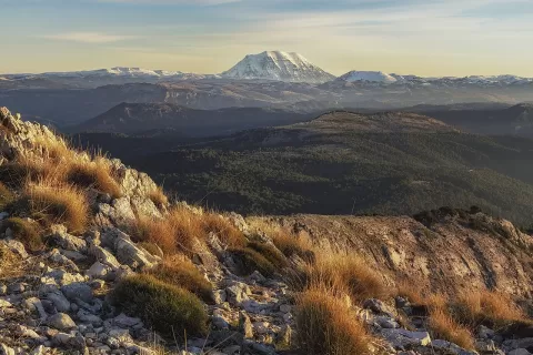 Sierra de La Sagra
Granada
An isolated 2,383-metre limestone peak in northern Granada, the highest in Andalusia outside Sierra Nevada, snow-capped until spring.
-
14
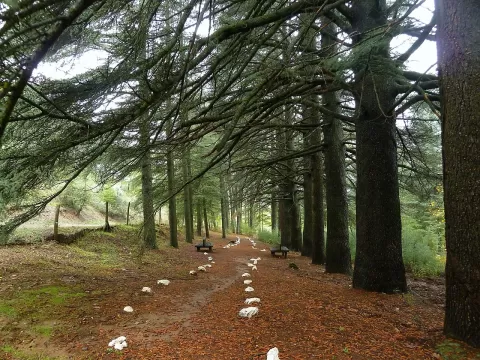 Sierra de la Alfaguara
Granada
A pine-clad range above Alfacar, in the Sierra de Huétor natural park, where the Darro rises and the 1,548-m Cruz de Alfacar stands.
-
15
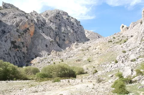 Parque natural de la Sierra de Castril
Granada
A limestone range in northern Granada, with peaks over 2,000 metres and the Castril river gorge crossed by wooden walkways.
-
16
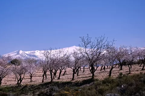 Pico del Caballo
Granada
Europe's westernmost and southernmost three-thousander, in Sierra Nevada, with a permanent lake and a refuge near the summit.
-
17
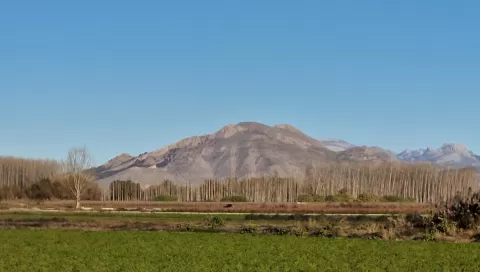 Sierra Elvira
Granada
-
18
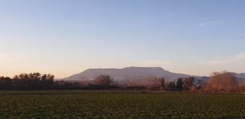 Sierra de Parapanda
Granada
-
19
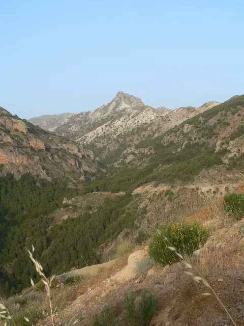 Trevenque
Granada
-
20
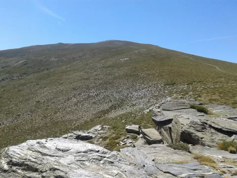 Chullo
Granada
-
21
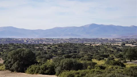 Sierra de Orce
Granada
-
22
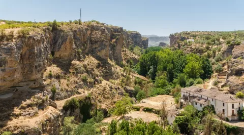 Tajos de Alhama
Granada
-
23
 Sierra de Huétor
Granada
-
24
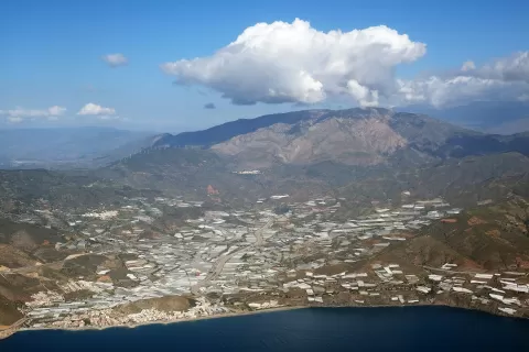 Sierra de Lújar
Granada
-
25
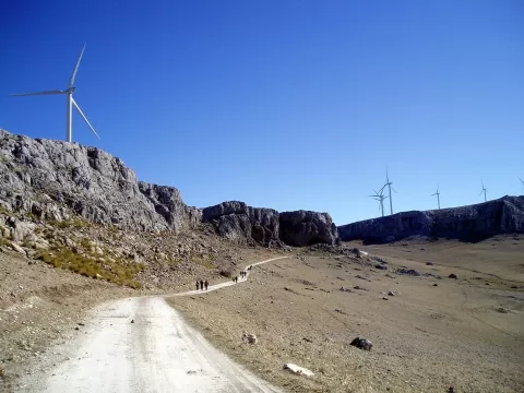 Sierra de Loja
Granada
-
26
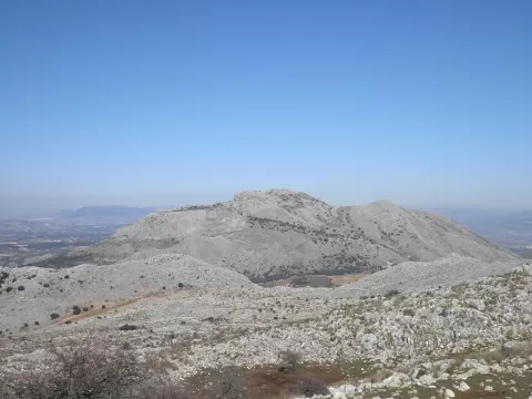 Sierra de Gibalto
Granada
-
27
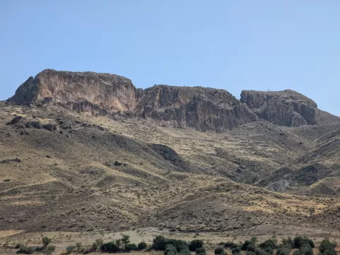 Piedras de la Solana
Granada
-
28
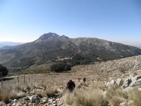 Sierra de San Jorge
Granada
-
29
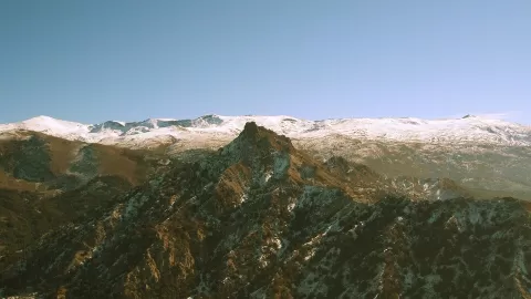 Sierra Nevada Natural Park
Granada
-
30
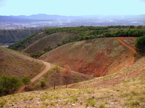 Dehesa del Generalife
Granada
And 3 more on the map.
Frequently asked questions
Which hiking trails in Granada are most worth visiting?
According to fotoMap's score, it's Sierra Nevada National and Natural Park (Granada): The highest mountains on the peninsula, between Granada and Almería, with Mulhacén, Iberian ibex and some sixty plants found nowhere else. Followed by Mulhacén and Pico Veleta.
What's the best time to take photos in Granada?
Golden hour, with low, warm light: today, 21 November, 7:59 – 8:59 in the morning and 17:00 – 18:00 in the evening. For a deep blue sky, blue hour: 7:31 – 7:59 in the morning and 18:00 – 18:28 in the evening. Each place shows the times for its exact location.