Hiking trails in Ciudad Real
9 places of this kind in Ciudad Real, ranked by their fotoMap score: what people who've been there like most, with recent votes counting more.
Updated on
-
1
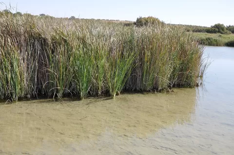 Tablas de Daimiel National Park
Ciudad Real
A wetland in La Mancha where the Guadiana and the Cigüela meet, with reed beds, sedge and waterbirds all year round.
-
2
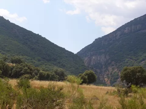 Sierra Madrona
Ciudad Real
Range of the Sierra Morena in southern Ciudad Real, reaching 1,333 metres at La Bañuela, with oak and holm oak woods and Iberian lynx.
-
3
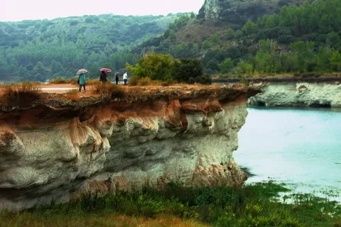 Lagunas de Ruidera
Ciudad Real
Sixteen chained lakes in the Guadiana Viejo valley, separated by tufa barriers that form waterfalls such as El Hundimiento.
-
4
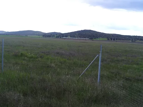 Vulcanismo del Campo de Calatrava
Ciudad Real
More than 300 dormant volcanoes around Ciudad Real, with rounded cones and maars, low craters that fill with water.
-
5
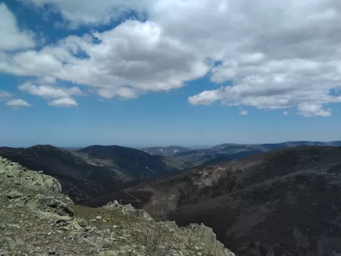 Corocho de Rocigalgo
Ciudad Real
-
6
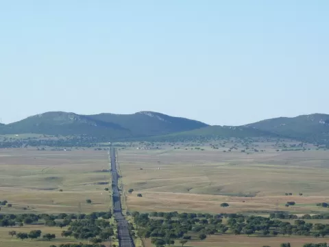 Sierra de la Solana de Alcudia
Ciudad Real
-
7
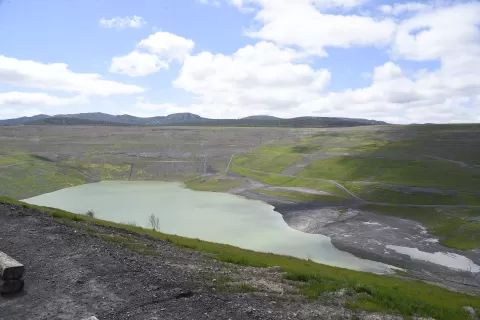 Emma Mine
Puertollano (Ciudad Real)
-
8
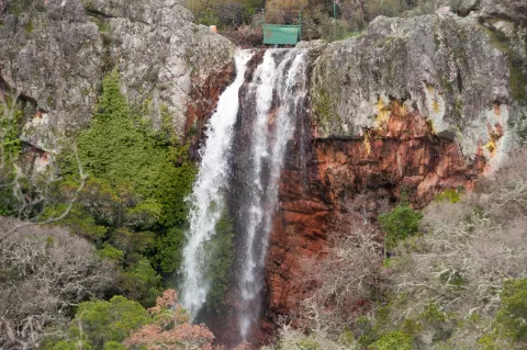 Chorrera de Horcajo
Horcajo de los Montes (Ciudad Real)
-
9
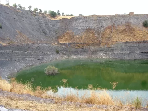 Extranjera
Puertollano (Ciudad Real)
Frequently asked questions
Which hiking trails in Ciudad Real are most worth visiting?
According to fotoMap's score, it's Tablas de Daimiel National Park (Ciudad Real): A wetland in La Mancha where the Guadiana and the Cigüela meet, with reed beds, sedge and waterbirds all year round. Followed by Sierra Madrona and Lagunas de Ruidera.
What's the best time to take photos in Ciudad Real?
Golden hour, with low, warm light: today, 21 November, 8:03 – 9:03 in the morning and 16:57 – 17:57 in the evening. For a deep blue sky, blue hour: 7:35 – 8:03 in the morning and 17:57 – 18:25 in the evening. Each place shows the times for its exact location.