 See all 3 photos
Upload your photo


Sierra Arana
No reviews yet
Do you like this place? Be the first to vote
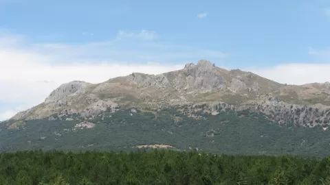
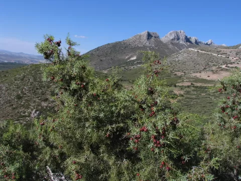
Sierra Arana stretches north-east of the city of Granada and is shared among ten municipalities, including Deifontes, Iznalloz, Cogollos Vega, Huétor Santillán, Diezma and Darro. Its highest point is the Peña de la Cruz, at 2027 metres, in the centre of the range, followed by the Telégrafo or Cerro de los Pelados, at 1976, and Orduña, at 1940. Bogarre, at 1621, is another of its summits.
It is a karst range with extensive caves: the Cueva del Agua de Sierra Arana and the Cueva del Agua de Prado Negro are the most notable, and in Darro there is the Cueva Horá.
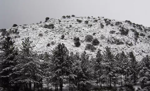
The classic image is the south face of the Peña de la Cruz seen from the Puerto de la Mora. With snow in winter the summit stands out more from the rest of the range, and morning light falls on that south face.
What Sierra Arana has to offer
More viewpoints in Granada More hiking trails in Granada
Best time to photograph Sierra Arana today, 21 November
- Sunrise7:59 – 8:59golden hour
- Sunset17:00 – 18:00golden hour
- Blue hour18:00 – 18:28at dusk
At sunrise and sunset, low-angled light brings out the landscape's texture. Arrive 20 minutes early to get a good spot.
Hashtags for your photos of Sierra Arana
Upload your photo with #fotoMap and help more people discover this spot. The one with the most votes becomes the cover photo.
Reviews of Sierra Arana
Nobody has said what it's like yet. Have you been? Be the first to tell us.
Write a review