 See all 6 photos
Upload your photo
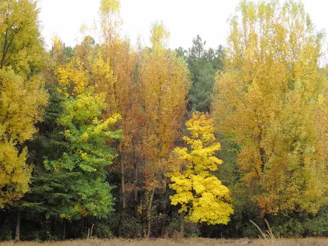
Sierra de Huétor Natural Park
No reviews yet
Do you like this place? Be the first to vote
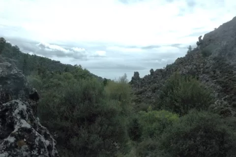
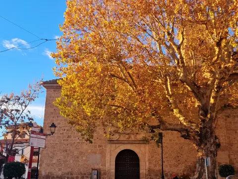
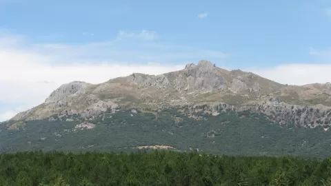
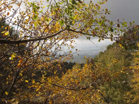
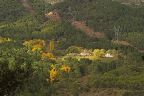
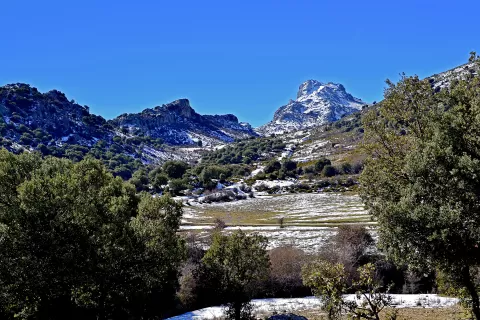
The Sierra de Huétor Natural Park, declared in 1989, covers some 12,100 hectares north-east of Granada, spread across seven municipalities. It brings together the Sierra de Huétor and the neighbouring Sierra de la Alfaguara and Sierra de Cogollos, between about 1,100 and 1,878 metres, with its highest point at the Peñón del Majalijar. It is a limestone range, with caves and karst formations.
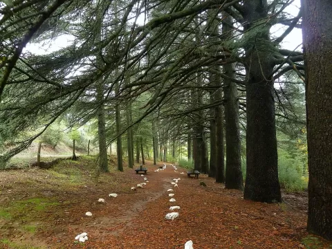
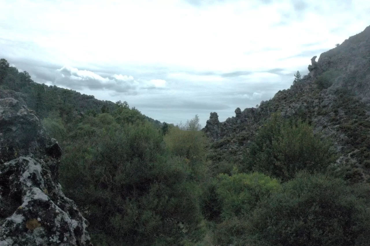
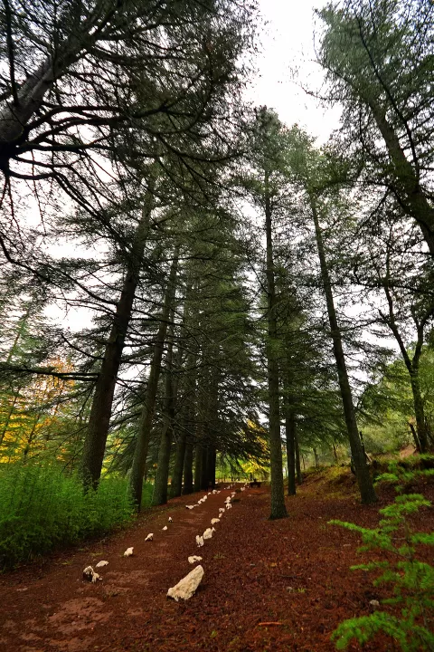
It has holm oak and oak woods, pine forests and junipers. Wild boar, Iberian ibex and badgers live here. The Darro and Fardes rivers rise in its hills. The A-92 motorway runs through it, which makes it easy to reach from Granada.
The Sierra Nevada viewpoint, at Diezma, is the best-known stop: from there you can see the snowy peaks of Sierra Nevada to the south. In winter and spring, with snow on the tops and a clear sky after rain, the view is sharpest. Morning light slants in through the pine woods.
What Sierra de Huétor Natural Park has to offer
Best time to photograph Sierra de Huétor Natural Park today, 22 November
- Sunrise8:00 – 9:00golden hour
- Sunset17:00 – 18:00golden hour
- Blue hour18:00 – 18:28at dusk
Golden hour gives the most beautiful light: warm, soft and with long shadows.
Hashtags for your photos of Sierra de Huétor Natural Park
Upload your photo with #fotoMap and help more people discover this spot. The one with the most votes becomes the cover photo.
Reviews of Sierra de Huétor Natural Park
Nobody has said what it's like yet. Have you been? Be the first to tell us.
Write a review