 See all 6 photos
Upload your photo
Parque natural de la Sierra de Castril
No reviews yet
Do you like this place? Be the first to vote
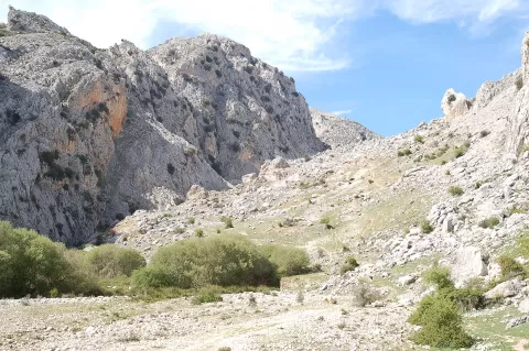
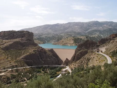
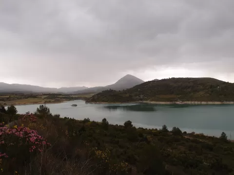
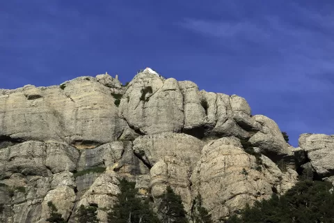
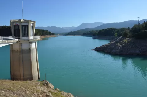
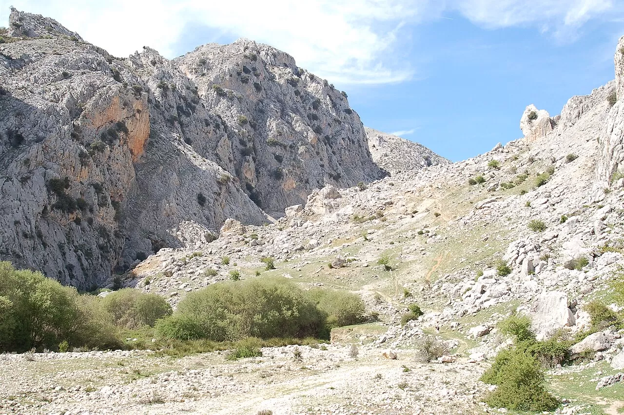
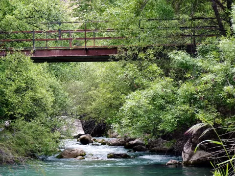
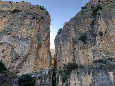
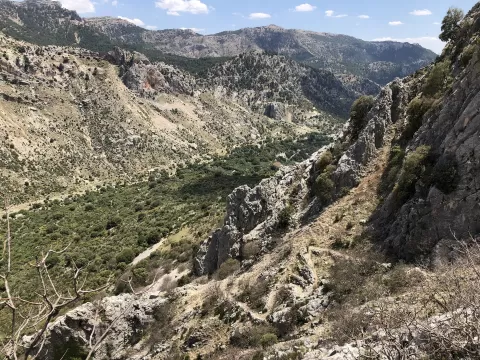
The Sierra de Castril Natural Park, declared in 1989, covers 12,300 hectares of the municipality of Castril, in Granada. Its limestone and dolomite form a karst landscape of potholes, dolines and caves, with peaks over 2,000 metres such as El Tornajuelo and the Cerro del Buitre. The River Castril runs through it from north to south.
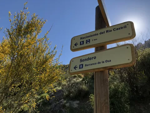
The trail through the Cerrada del río Castril gorge, about 2 kilometres long, crosses the canyon on wooden walkways, through tunnels, over a suspension bridge and past viewpoints, as far as the old power station carved into the rock. There are other routes, such as the one to the source of the River Castril or the one through the Cerrada de la Magdalena.
The walkways clinging to the rock, with the water below, are the most sought-after photo. In the Cerrada de la Magdalena, the waterfall calls for a slow shutter speed and a tripod. With a telephoto lens you may spot Iberian ibex or griffon vultures on the cliffs.
What Parque natural de la Sierra de Castril has to offer
Best time to photograph Parque natural de la Sierra de Castril today, 22 November
- Sunrise7:58 – 8:58golden hour
- Sunset16:55 – 17:55golden hour
- Blue hour17:55 – 18:23at dusk
Golden hour gives the most beautiful light: warm, soft and with long shadows.
Hashtags for your photos of Parque natural de la Sierra de Castril
Upload your photo with #fotoMap and help more people discover this spot. The one with the most votes becomes the cover photo.
Reviews of Parque natural de la Sierra de Castril
Nobody has said what it's like yet. Have you been? Be the first to tell us.
Write a review