 See all 2 photos
Upload your photo
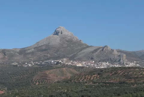
Sierra de Cogollos
No reviews yet
Do you like this place? Be the first to vote
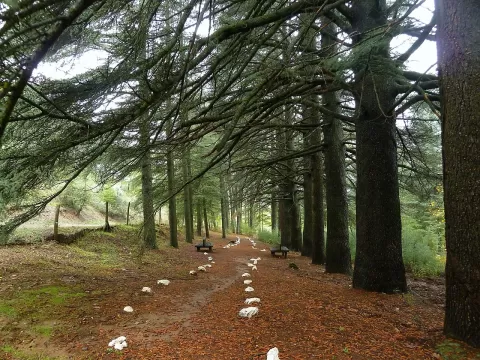
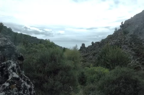
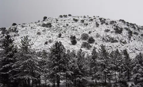
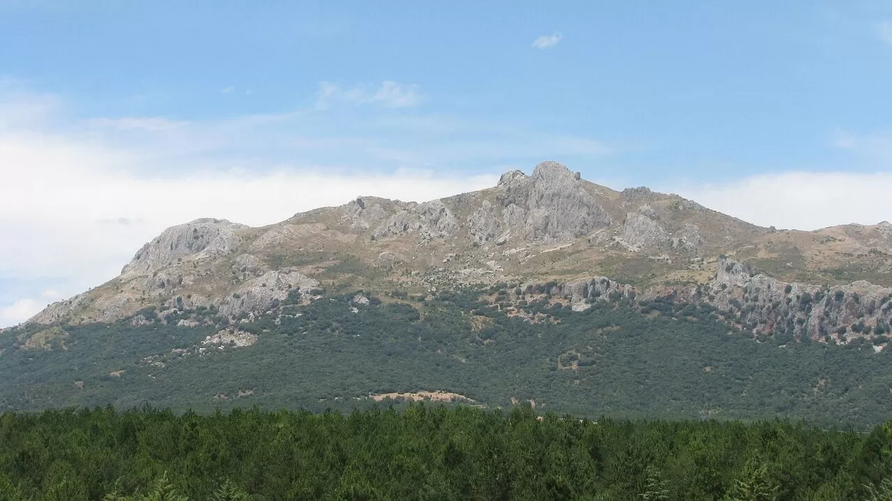
The Sierra de Cogollos is a small group of mountains in the municipality of Cogollos Vega, in Granada, almost all of it within the Sierra de Huétor nature park. Its geology sets it apart from the neighbouring ranges: it belongs to the Betic Dorsal, with limestone, dolomite and marl. Its highest peak is the Peñón de Majalijar, at 1,878 metres, but the most characteristic is the Peñón de la Mata, at 1,668, right above the village.
The Peñón de la Mata is climbed from Cogollos Vega on demanding paths of some 12 to 15 kilometres, which call for good fitness and sturdy footwear.
At the top there are pine woods and great masses of limestone. From the summit you can see Granada and Sierra Nevada, and the Cerro de la Cruz, at 1,368 metres, looks out over the peaks of Sierra Nevada and the villages of the Vega.
What Sierra de Cogollos has to offer
More viewpoints in Granada More hiking trails in Granada
Best time to photograph Sierra de Cogollos today, 21 November
- Sunrise7:59 – 8:59golden hour
- Sunset17:00 – 18:00golden hour
- Blue hour18:00 – 18:28at dusk
At sunrise and sunset, low-angled light brings out the landscape's texture. Arrive 20 minutes early to get a good spot.
Hashtags for your photos of Sierra de Cogollos
Upload your photo with #fotoMap and help more people discover this spot. The one with the most votes becomes the cover photo.
Reviews of Sierra de Cogollos
Nobody has said what it's like yet. Have you been? Be the first to tell us.
Write a review