 See all 6 photos
Upload your photo
Sierra de Baza Natural Park
No reviews yet
Do you like this place? Be the first to vote
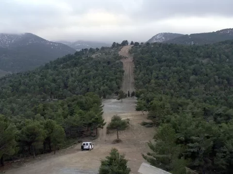
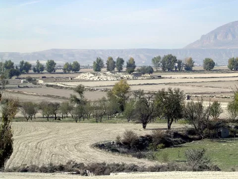
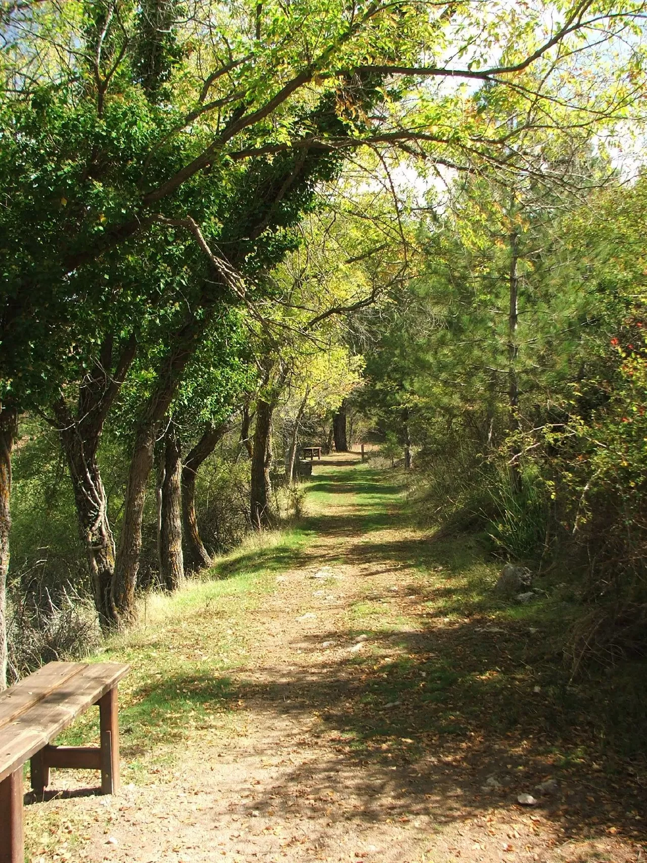
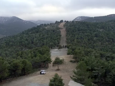
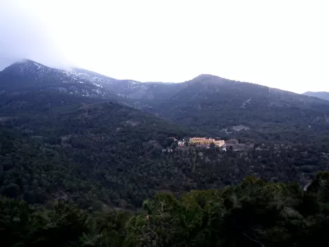
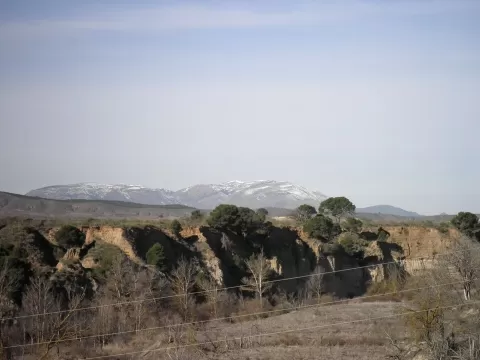
Sierra de Baza Natural Park protects 53,649 hectares in the north-east of the province of Granada, between Baza, Dólar, Gor, Caniles and Valle del Zalabí. It rises above the semi-arid Hoya de Baza to 2,269 metres at Calar de Santa Bárbara, and it gets far more rain than the plain below: that is why it is called a bioclimatic island. Together with those of Sierra Nevada, its Scots pines form the southernmost native forests of this species in Spain.
The Narváez visitor centre is at the end of a paved track of about 5 kilometres that leaves the A-92 between Baza and Guadix. From there the circular trail to Calar de Santa Bárbara sets off, via the Narváez ravine and the Prados del Rey refuge.
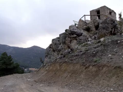
The Santa Bárbara survey point is a natural balcony over the Granada geopark and the high plateau. Next to the visitor centre is the Narváez viewpoint.
What Sierra de Baza Natural Park has to offer
Best time to photograph Sierra de Baza Natural Park today, 22 November
- Sunrise7:57 – 8:57golden hour
- Sunset16:56 – 17:56golden hour
- Blue hour17:56 – 18:25at dusk
Golden hour gives the most beautiful light: warm, soft and with long shadows.
Hashtags for your photos of Sierra de Baza Natural Park
Upload your photo with #fotoMap and help more people discover this spot. The one with the most votes becomes the cover photo.
Reviews of Sierra de Baza Natural Park
Nobody has said what it's like yet. Have you been? Be the first to tell us.
Write a review