 See all 2 photos
Upload your photo
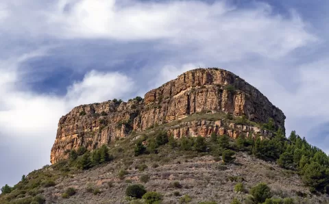
Mola de Segart
No reviews yet
Do you like this place? Be the first to vote
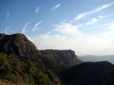
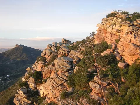
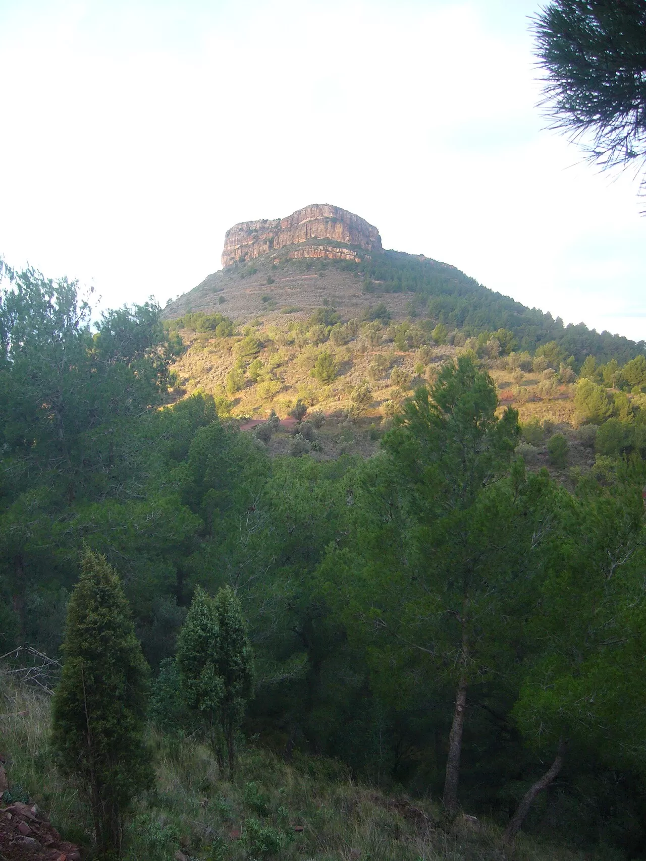
The Mola de Segart is one of the southernmost summits of the Serra Calderona, in the municipality of Segart, in the Camp de Morvedre, within the natural park. It is 565 metres high and is a great mesa of rodeno, the red Triassic sandstone, shaped by wind and rain, with an eastern face of very distinctive forms. Fishermen call it El Femerot, and its name, according to Jaume Bru i Vidal, is of Iberian origin.
From Segart the camí de la Mola, a dirt track, sets off, and from it a path climbs straight to the summit. The classic route is about 8 km there and back with some 450 metres of ascent. On the summit there is a viewpoint indicator from 1971.
From the top you can see the Serra d'Espadà, Penyagolosa and, on haze-free days, the Gulf of Valencia. The red rock gains colour in the low afternoon sun.
What Mola de Segart has to offer
More viewpoints in Valencia More hiking trails in Valencia
Best time to photograph Mola de Segart today, 21 November
- Sunrise7:52 – 8:52golden hour
- Sunset16:42 – 17:42golden hour
- Blue hour17:42 – 18:11at dusk
At sunrise and sunset, low-angled light brings out the landscape's texture. Arrive 20 minutes early to get a good spot.
Hashtags for your photos of Mola de Segart
Upload your photo with #fotoMap and help more people discover this spot. The one with the most votes becomes the cover photo.
Reviews of Mola de Segart
Nobody has said what it's like yet. Have you been? Be the first to tell us.
Write a review