 See all 6 photos
Upload your photo
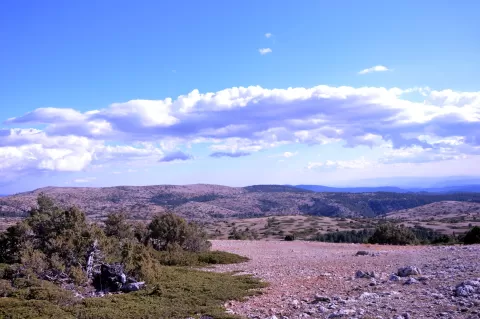
Cerro Calderón
No reviews yet
Do you like this place? Be the first to vote
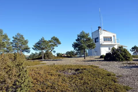
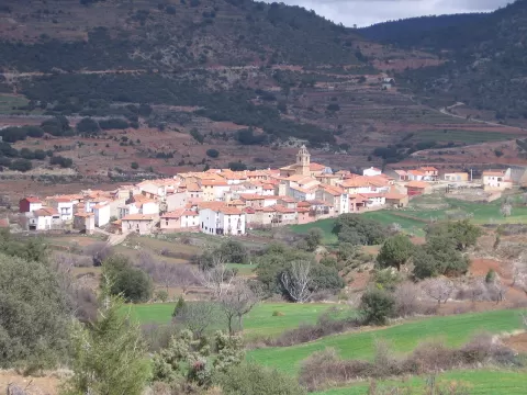
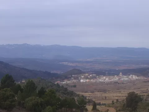
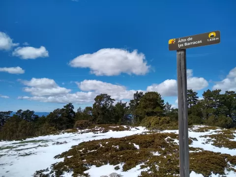
Cerro Calderón, also called Alto de las Barracas, is at 1,838 metres the highest summit in the Valencian Community, about 25 metres higher than Penyagolosa. It is in the Sierra de Javalambre, in the municipality of Puebla de San Miguel, in the Rincón de Ademuz, next to the border with Teruel. Its surroundings are one of the seven plant micro-reserves of the Puebla de San Miguel Natural Park.
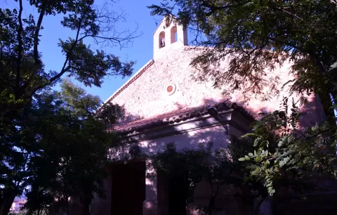
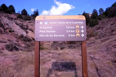
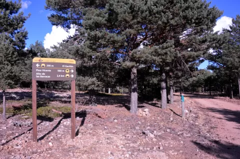
You climb on foot from the Ermita de San Roque, at the side of the CV-363 road, on a route of about 6 kilometres with a gradual ascent. Motor vehicles are not allowed.
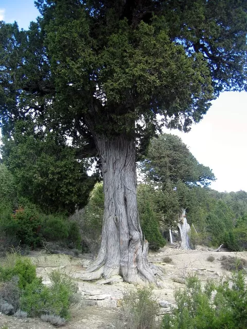
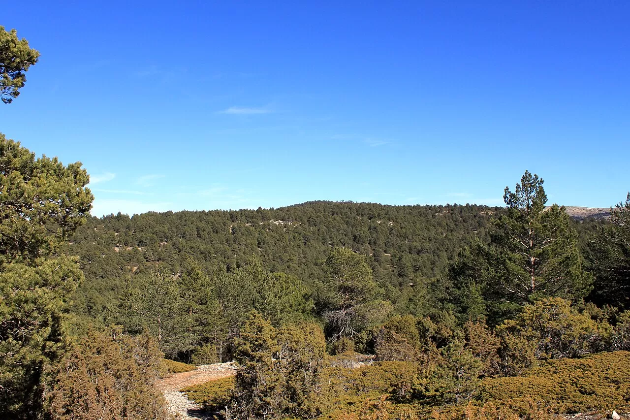
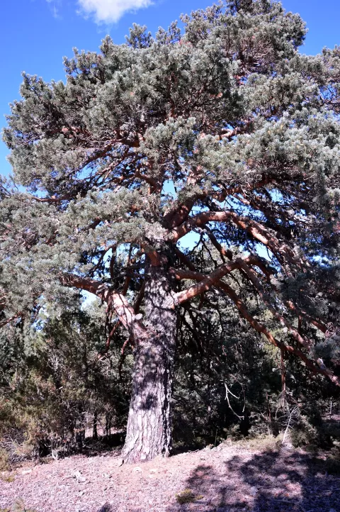
On the summit grow Scots pine, junipers and creeping savin junipers. Those savins hugging the ground, with the ridges of Javalambre behind, tell you better than anything that you are at the very top.
What Cerro Calderón has to offer
More viewpoints in Valencia More hiking trails in Valencia
Best time to photograph Cerro Calderón today, 21 November
- Sunrise7:56 – 8:56golden hour
- Sunset16:43 – 17:43golden hour
- Blue hour17:43 – 18:13at dusk
At sunrise and sunset, low-angled light brings out the landscape's texture. Arrive 20 minutes early to get a good spot.
Hashtags for your photos of Cerro Calderón
Upload your photo with #fotoMap and help more people discover this spot. The one with the most votes becomes the cover photo.
Reviews of Cerro Calderón
Nobody has said what it's like yet. Have you been? Be the first to tell us.
Write a review