 See all 6 photos
Upload your photo
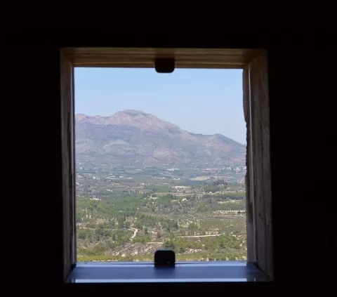
Sierra de Benicadell
No reviews yet
Do you like this place? Be the first to vote
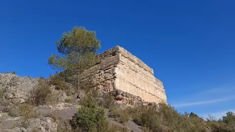
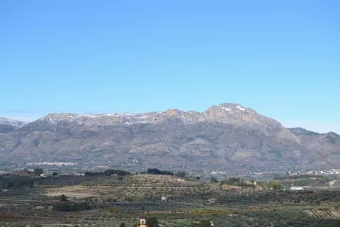
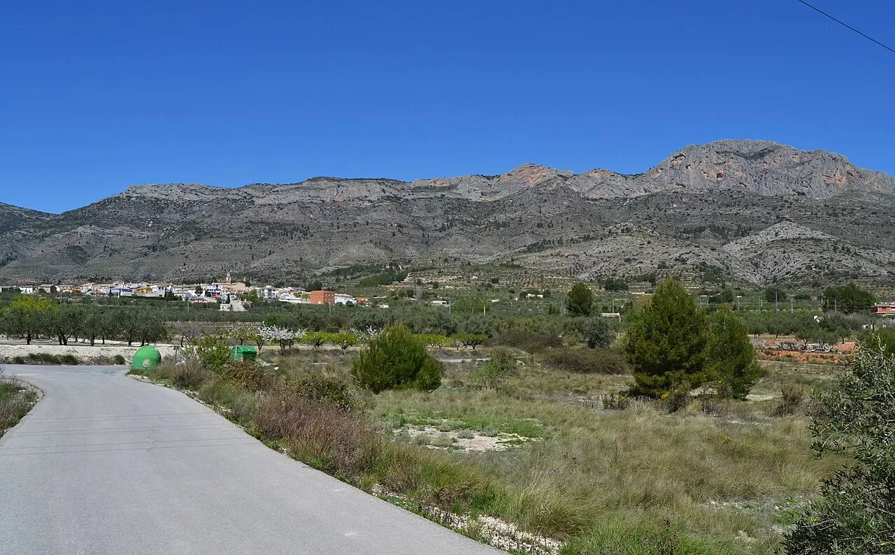
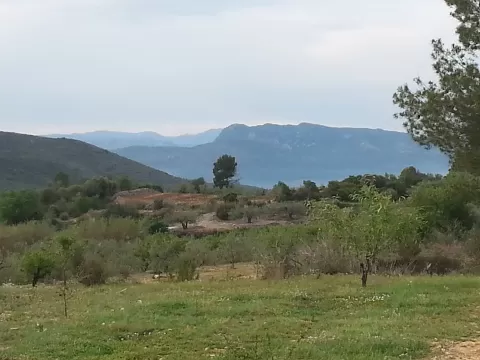
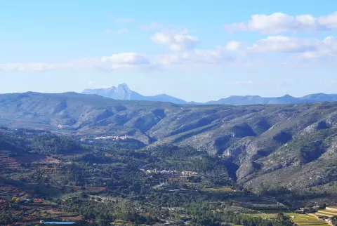
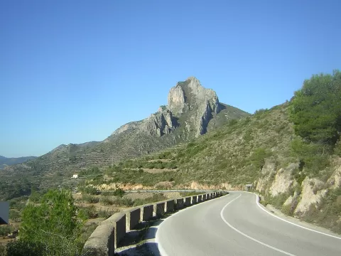
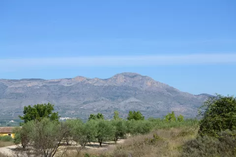
At 1,104 metres, Benicadell is the highest peak of the range of the same name, a mountain wall that separates the Vall d'Albaida (Valencia) from the Comtat (Alicante). Its summit is a rocky limestone ridge that dominates the landscape. The range is a protected landscape, first on its sunny side and later also on its shady side.
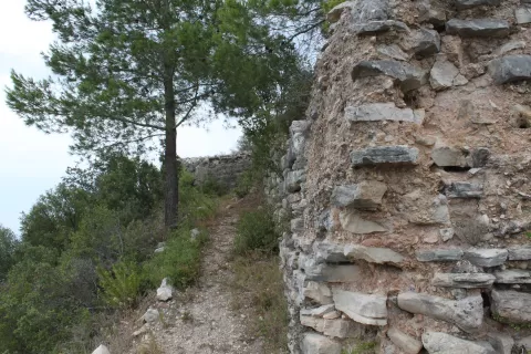
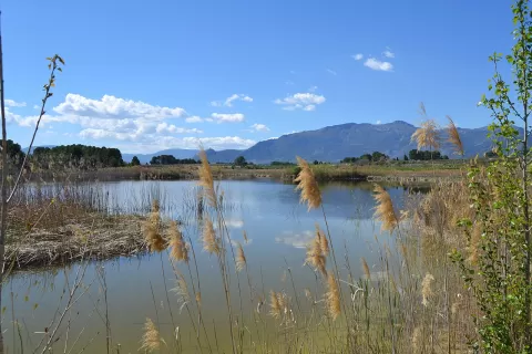
The PRV-213 trail climbs to the summit from Beniatjar and from Ràfol de Salem. Karst erosion has opened up caves, potholes, shafts and rock formations, and at Gayanes there is an endorheic lagoon, the Albufera de Gayanes. The shady side is wetter, with more vegetation, streams and springs.
The photo that identifies the range is the Benicadell ridge seen side-on, from the surrounding valleys. In raking light, early or late in the day, the limestone gains texture and the crest stands out more sharply against the sky.
What Sierra de Benicadell has to offer
More viewpoints in Valencia More hiking trails in Valencia
Best time to photograph Sierra de Benicadell today, 21 November
- Sunrise7:50 – 8:50golden hour
- Sunset16:44 – 17:44golden hour
- Blue hour17:44 – 18:13at dusk
At sunrise and sunset, low-angled light brings out the landscape's texture. Arrive 20 minutes early to get a good spot.
Hashtags for your photos of Sierra de Benicadell
Upload your photo with #fotoMap and help more people discover this spot. The one with the most votes becomes the cover photo.
Reviews of Sierra de Benicadell
Nobody has said what it's like yet. Have you been? Be the first to tell us.
Write a review