 See all 2 photos
Upload your photo
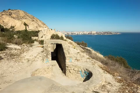
Sierra Grossa
No reviews yet
Do you like this place? Be the first to vote
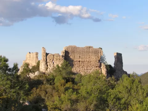
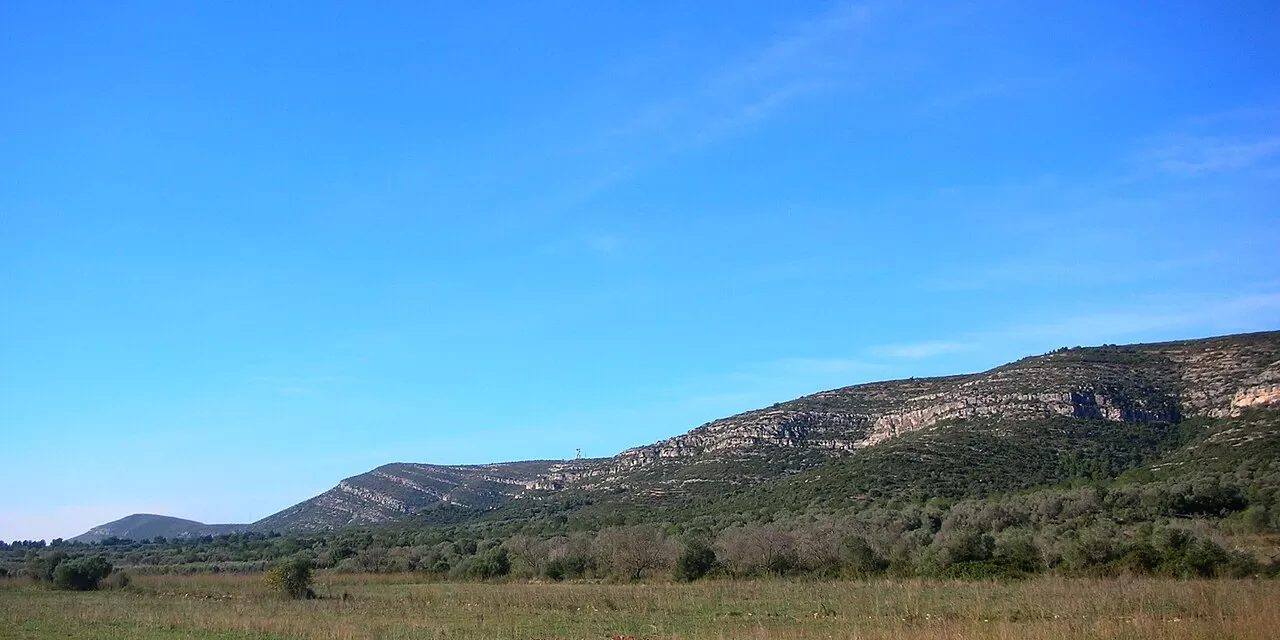
The Serra Grossa is a Prebetic range in the province of Valencia that acts as a barrier between the Vall d'Albaida and La Costera. It starts at La Font de la Figuera and reaches the Gandia area; the aquifer it holds is about 60 kilometres long and up to 15 wide.
It is a karst relief of limestone and dolomite, with ravines and summits that do not reach 1,000 metres; the highest is Capurutxo, at 904. Fires have badly degraded the vegetation, although there are still areas of great botanical interest, such as the Els Miradors micro-reserve, and the Canals tunnel is protected.
At Bellús, the river Albaida cuts through the range at the Estret de les Aigües, the gap that best shows how the water has cut through the limestone. The succession of summits and ravines gives the image of the range from the valleys.
What Sierra Grossa has to offer
More viewpoints in Valencia More hiking trails in Valencia
Best time to photograph Sierra Grossa today, 21 November
- Sunrise7:51 – 8:51golden hour
- Sunset16:45 – 17:45golden hour
- Blue hour17:45 – 18:13at dusk
At sunrise and sunset, low-angled light brings out the landscape's texture. Arrive 20 minutes early to get a good spot.
Hashtags for your photos of Sierra Grossa
Upload your photo with #fotoMap and help more people discover this spot. The one with the most votes becomes the cover photo.
Reviews of Sierra Grossa
Nobody has said what it's like yet. Have you been? Be the first to tell us.
Write a review