 See all 3 photos
Upload your photo
Perdiguera Island
No reviews yet
Do you like this place? Be the first to vote
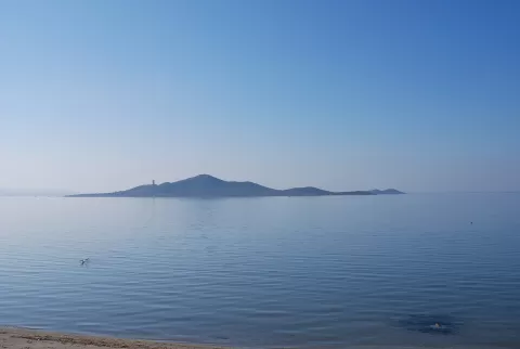
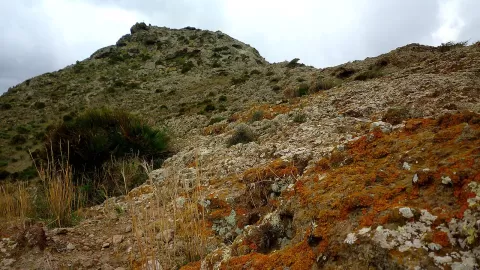
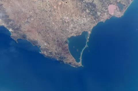
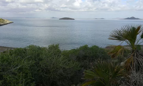
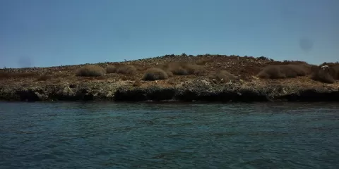
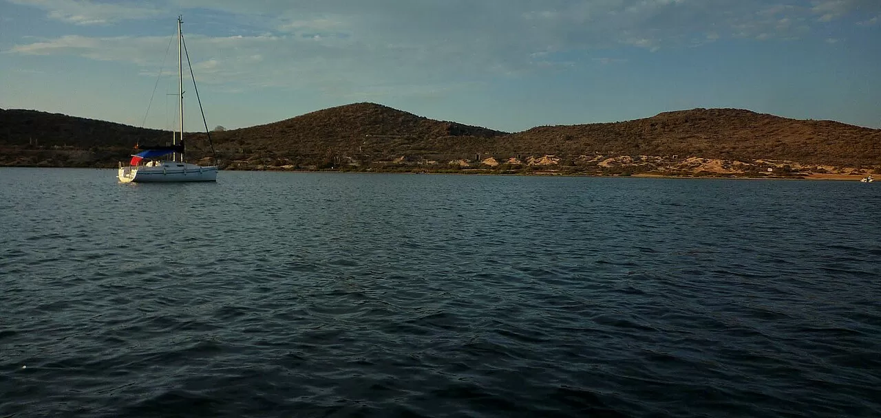
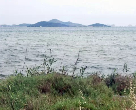
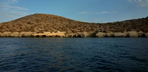
Perdiguera Island lies in the middle of the Mar Menor, in the municipality of San Javier, near Isla Mayor. At 25.8 hectares it is the second largest in the Mar Menor and rises to 24 metres. It has two eroded volcanic cones, and an isthmus joins it to the small island of Esparteña, which has a third.
For years there were regular boats from Santiago de la Ribera and Los Alcázares, six jetties and three restaurants on the isthmus, all now dismantled. It is military property, is listed as a protected landscape and is the island in the Mar Menor most damaged by tourism, with buildings in ruins. Landing is currently not allowed.
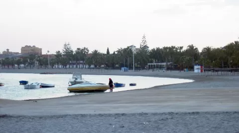
It can be seen from the shore at Santiago de la Ribera and Los Alcázares, on the western side of the lagoon. From there, at sunrise, the sun comes up behind the island and leaves it backlit; in the afternoon, the light falls head-on and picks out the two cones.
What Perdiguera Island has to offer
More viewpoints in Murcia More hiking trails in Murcia
Best time to photograph Perdiguera Island today, 21 November
- Sunrise7:49 – 8:49golden hour
- Sunset16:48 – 17:48golden hour
- Blue hour17:48 – 18:16at dusk
At sunrise and sunset, low-angled light brings out the landscape's texture. Arrive 20 minutes early to get a good spot.
Hashtags for your photos of Perdiguera Island
Upload your photo with #fotoMap and help more people discover this spot. The one with the most votes becomes the cover photo.
Reviews of Perdiguera Island
Nobody has said what it's like yet. Have you been? Be the first to tell us.
Write a review